Estimated Value: $102,000 - $345,000
2
Beds
1
Bath
896
Sq Ft
$215/Sq Ft
Est. Value
About This Home
This home is located at 5035 S 800 E, Knox, IN 46534 and is currently estimated at $192,198, approximately $214 per square foot. 5035 S 800 E is a home located in Starke County with nearby schools including Culver Elementary School and Culver Community Middle/High School.
Ownership History
Date
Name
Owned For
Owner Type
Purchase Details
Closed on
Sep 21, 2013
Sold by
Trojan Dariusz
Bought by
Trojan Dariusz and Nowak Zdzislaw
Current Estimated Value
Purchase Details
Closed on
Mar 31, 2010
Sold by
Federal National Mortgage Assn
Bought by
Trojan Dariusz
Purchase Details
Closed on
Feb 17, 2010
Sold by
Cowen Jr Sheriff Oscar
Bought by
Federal National Mortgage Association
Purchase Details
Closed on
Feb 12, 2010
Sold by
Mcdaniel Monroe and Mcdaniel Theresa
Bought by
Gmac Mortgage Llc
Purchase Details
Closed on
Feb 2, 2005
Sold by
Koller Robin Olson and Olson Robin D
Bought by
Mcdaniel Monroe and Mcdaniel Theresa
Home Financials for this Owner
Home Financials are based on the most recent Mortgage that was taken out on this home.
Original Mortgage
$17,895
Interest Rate
5.93%
Mortgage Type
New Conventional
Create a Home Valuation Report for This Property
The Home Valuation Report is an in-depth analysis detailing your home's value as well as a comparison with similar homes in the area
Purchase History
| Date | Buyer | Sale Price | Title Company |
|---|---|---|---|
| Trojan Dariusz | -- | None Available | |
| Trojan Dariusz | -- | None Available | |
| Federal National Mortgage Association | $36,287 | Feiwell & Hannoy | |
| Gmac Mortgage Llc | -- | None Available | |
| Mcdaniel Monroe | -- | None Available |
Source: Public Records
Mortgage History
| Date | Status | Borrower | Loan Amount |
|---|---|---|---|
| Previous Owner | Mcdaniel Monroe | $17,895 |
Source: Public Records
Tax History
| Year | Tax Paid | Tax Assessment Tax Assessment Total Assessment is a certain percentage of the fair market value that is determined by local assessors to be the total taxable value of land and additions on the property. | Land | Improvement |
|---|---|---|---|---|
| 2025 | $512 | $112,500 | $40,400 | $72,100 |
| 2024 | $512 | $101,100 | $39,400 | $61,700 |
| 2023 | $465 | $97,900 | $34,200 | $63,700 |
| 2022 | $471 | $90,400 | $31,100 | $59,300 |
| 2021 | $438 | $79,100 | $29,500 | $49,600 |
| 2020 | $448 | $72,800 | $29,200 | $43,600 |
| 2019 | $375 | $62,600 | $28,500 | $34,100 |
| 2018 | $368 | $61,200 | $27,500 | $33,700 |
| 2017 | $310 | $60,200 | $27,200 | $33,000 |
| 2016 | $300 | $59,900 | $26,800 | $33,100 |
| 2014 | $215 | $51,900 | $25,800 | $26,100 |
| 2013 | $184 | $50,400 | $24,500 | $25,900 |
Source: Public Records
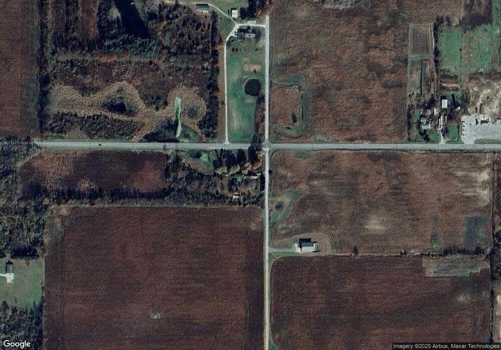
Map
Nearby Homes
- 6620 E State Road 10
- 0-Rear Toto Rd
- 3455 S 800 E
- Lot 7 N Shore Dr
- Lot 6 N Shore Dr
- 4205 S North Shore Dr
- 4100 S East Dr
- 4135 S East Dr
- 9.08 Acres S North Dr & East of Woodland Rd E
- - Fox Crossing
- 6346 E North Dr
- 6270 E Donald Rd
- TBD LOT 42 Wild Rose Dr
- 6978 Fox Crossing
- 6776 Fox Crossing
- 10140 E State Road 10
- 3701 S 625 E
- 0 E 700 S
- 4472 S County Road 210
- 10003 E 625 S
- 8160 E State Road 10
- 4915 S 800 E
- 8204 State Road 10
- 5260 S 800 E
- 7635 E State Road 10
- 5190 S 750 E
- 8315 E State Road 10
- 7595 E State Road 10
- 5240 S 750 E
- 800 S East St
- 750 State Road 10
- 750 E State Road 10
- 0-NA E 550 S
- 0-______ E 550 S
- 0-_ _ ___ E 550 S
- ______ E 550 S
- _ _ ___ E 550 S
- NA E 550 S
- 4955 S 750 E
Your Personal Tour Guide
Ask me questions while you tour the home.