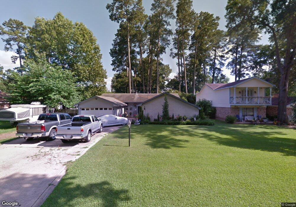
5037 Asaff Ave Shreveport, LA 71107
Estimated Value: $102,000 - $141,000
3
Beds
2
Baths
1,190
Sq Ft
$101/Sq Ft
Est. Value
About This Home
This home is located at 5037 Asaff Ave, Shreveport, LA 71107 and is currently estimated at $119,847, approximately $100 per square foot. 5037 Asaff Ave is a home located in Caddo Parish with nearby schools including North Highlands Elementary School, Judson Fundamental Elementary School, and Fairfield Magnet School.
Ownership History
Date
Name
Owned For
Owner Type
Purchase Details
Closed on
Mar 15, 2013
Sold by
Salley Jon Michael
Bought by
Orion Property Group Llc
Current Estimated Value
Purchase Details
Closed on
Sep 29, 2009
Sold by
Owen Gary Harold
Bought by
Salley Jon Michael
Home Financials for this Owner
Home Financials are based on the most recent Mortgage that was taken out on this home.
Original Mortgage
$38,700
Interest Rate
5.87%
Mortgage Type
Future Advance Clause Open End Mortgage
Create a Home Valuation Report for This Property
The Home Valuation Report is an in-depth analysis detailing your home's value as well as a comparison with similar homes in the area
Home Values in the Area
Average Home Value in this Area
Purchase History
| Date | Buyer | Sale Price | Title Company |
|---|---|---|---|
| Orion Property Group Llc | $75,000 | None Available | |
| Salley Jon Michael | -- | None Available |
Source: Public Records
Mortgage History
| Date | Status | Borrower | Loan Amount |
|---|---|---|---|
| Previous Owner | Salley Jon Michael | $38,700 |
Source: Public Records
Tax History Compared to Growth
Tax History
| Year | Tax Paid | Tax Assessment Tax Assessment Total Assessment is a certain percentage of the fair market value that is determined by local assessors to be the total taxable value of land and additions on the property. | Land | Improvement |
|---|---|---|---|---|
| 2024 | $1,111 | $7,127 | $1,159 | $5,968 |
| 2023 | $1,041 | $6,529 | $1,104 | $5,425 |
| 2022 | $1,041 | $6,529 | $1,104 | $5,425 |
| 2021 | $1,025 | $6,529 | $1,104 | $5,425 |
| 2020 | $1,025 | $6,529 | $1,104 | $5,425 |
| 2019 | $1,044 | $6,453 | $1,104 | $5,349 |
| 2018 | $831 | $6,453 | $1,104 | $5,349 |
| 2017 | $1,060 | $6,453 | $1,104 | $5,349 |
| 2015 | $819 | $6,320 | $1,100 | $5,220 |
| 2014 | $825 | $6,320 | $1,100 | $5,220 |
| 2013 | -- | $6,320 | $1,100 | $5,220 |
Source: Public Records
Map
Nearby Homes
- 5036 Asaff Ave
- 5037 N Market St
- 955 Roanoke Dr
- 5244 N Market St
- 5220 Old Mooringsport Rd
- 838 Ed's Blvd
- 4823 N Market St
- 1208 Mcdaniel Dr
- 4821 N Market St
- 4803 N Market St
- 4720 Old Mooringsport Rd
- 419 Irving Bluff Rd
- 6095 Pine Hill Rd
- 6899 White Tail Ln
- 434 Irving Bluff Rd
- 4685 Kent Rd
- 4687 Kent Rd
- 5555 Old Mooringsport Rd
- 1059 Winchester Dr
- Mimosa III A Plan at Falcon Bay