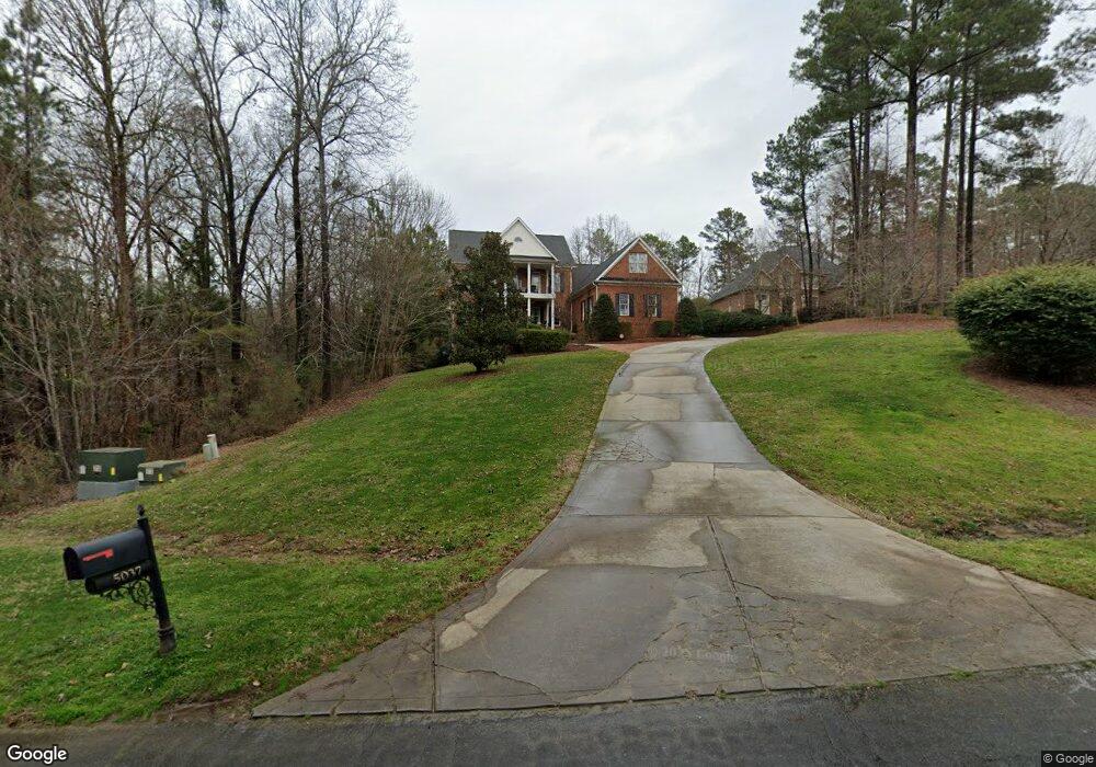
5037 Crofton Dr Fort Mill, SC 29715
Estimated Value: $1,118,000 - $1,218,000
--
Bed
1
Bath
4,911
Sq Ft
$240/Sq Ft
Est. Value
About This Home
This home is located at 5037 Crofton Dr, Fort Mill, SC 29715 and is currently estimated at $1,178,465, approximately $239 per square foot. 5037 Crofton Dr is a home with nearby schools including Doby's Bridge Elementary School and Catawba Ridge High School.
Ownership History
Date
Name
Owned For
Owner Type
Purchase Details
Closed on
May 16, 2008
Sold by
Macrini Michael M and Macrini Shannon C
Bought by
Pope Brian O and Pope Angela S
Current Estimated Value
Home Financials for this Owner
Home Financials are based on the most recent Mortgage that was taken out on this home.
Original Mortgage
$472,000
Outstanding Balance
$207,158
Interest Rate
4.75%
Mortgage Type
Adjustable Rate Mortgage/ARM
Estimated Equity
$971,307
Purchase Details
Closed on
Sep 16, 2005
Sold by
Brannon Rickie S and Brannon Donna S
Bought by
Macrini Michael M and Macrini Shannon C
Home Financials for this Owner
Home Financials are based on the most recent Mortgage that was taken out on this home.
Original Mortgage
$475,000
Interest Rate
4.75%
Mortgage Type
Adjustable Rate Mortgage/ARM
Purchase Details
Closed on
Feb 20, 2002
Sold by
Penton Group Inc
Bought by
Brannon Rickie S and Brannon Donna S
Create a Home Valuation Report for This Property
The Home Valuation Report is an in-depth analysis detailing your home's value as well as a comparison with similar homes in the area
Home Values in the Area
Average Home Value in this Area
Purchase History
| Date | Buyer | Sale Price | Title Company |
|---|---|---|---|
| Pope Brian O | $617,500 | -- | |
| Macrini Michael M | $595,000 | -- | |
| Brannon Rickie S | $49,900 | -- |
Source: Public Records
Mortgage History
| Date | Status | Borrower | Loan Amount |
|---|---|---|---|
| Open | Pope Brian O | $472,000 | |
| Previous Owner | Macrini Michael M | $475,000 |
Source: Public Records
Tax History Compared to Growth
Tax History
| Year | Tax Paid | Tax Assessment Tax Assessment Total Assessment is a certain percentage of the fair market value that is determined by local assessors to be the total taxable value of land and additions on the property. | Land | Improvement |
|---|---|---|---|---|
| 2024 | $4,469 | $26,841 | $2,950 | $23,891 |
| 2023 | $4,324 | $26,841 | $2,950 | $23,891 |
| 2022 | $4,284 | $26,841 | $2,966 | $23,875 |
| 2021 | -- | $26,841 | $2,966 | $23,875 |
| 2020 | $4,619 | $26,841 | $0 | $0 |
| 2019 | $4,647 | $23,340 | $0 | $0 |
| 2018 | $4,929 | $23,340 | $0 | $0 |
| 2017 | $4,259 | $21,340 | $0 | $0 |
| 2016 | $4,234 | $21,340 | $0 | $0 |
| 2014 | $3,225 | $21,340 | $3,200 | $18,140 |
| 2013 | $3,225 | $23,300 | $3,800 | $19,500 |
Source: Public Records
Map
Nearby Homes
- 1026 Arges River Dr
- 831 Tyne Dr
- 837 Tyne Dr
- 4071 Thames Cir
- 1281 Arges River Dr
- 429 Hendon Row Way
- 4201 Thames Cir
- 1227 Cabin Creek Ct
- 1042 Croyden Ct
- 1427 Doe Ridge Ln
- 1737 Felts Pkwy
- 1761 Felts Pkwy
- 1098 Kings Bottom Dr
- 1786 Felts Pkwy
- 5009 Saint Clair St
- 1012 Kings Bottom Dr
- 2760 Holbrook Rd
- 273 Monteray Oaks Cir
- 749 Pela Vista Ct
- lot 5 Holbrook Rd Unit 5
- 5041 Crofton Dr
- 5029 Crofton Dr
- 5045 Crofton Dr
- 5032 Crofton Dr
- 5049 Crofton Dr
- 5044 Crofton Dr
- 716 Mayfield Ct
- 712 Mayfield Ct
- 720 Mayfield Ct
- 5020 Crofton Dr
- 708 Mayfield Ct
- 1710 Brookshaw Run
- 5053 Crofton Dr
- 1007 Oakenshaw St
- 704 Mayfield Ct
- 1714 Brookshaw Run
- 5057 Crofton Dr
- 724 Mayfield Ct
- 1706 Brookshaw Run Unit 21
- 1704 Brookshaw Run