5037 Ky Highway 2514 Maysville, KY 41056
Estimated Value: $363,000 - $1,611,682
4
Beds
2
Baths
6,168
Sq Ft
$160/Sq Ft
Est. Value
About This Home
This home is located at 5037 Ky Highway 2514, Maysville, KY 41056 and is currently estimated at $987,341, approximately $160 per square foot. 5037 Ky Highway 2514 is a home with nearby schools including Charles Straub Elementary School, Mason County Intermediate School, and Mason County Middle School.
Ownership History
Date
Name
Owned For
Owner Type
Purchase Details
Closed on
Feb 24, 2017
Sold by
Gray Gary L and Gray Janice R
Bought by
Locust Bend Farms Inc
Current Estimated Value
Home Financials for this Owner
Home Financials are based on the most recent Mortgage that was taken out on this home.
Original Mortgage
$182,000
Outstanding Balance
$138,108
Interest Rate
4.12%
Mortgage Type
New Conventional
Estimated Equity
$849,233
Purchase Details
Closed on
Apr 1, 1992
Bought by
Locust Bend Farms Inc
Create a Home Valuation Report for This Property
The Home Valuation Report is an in-depth analysis detailing your home's value as well as a comparison with similar homes in the area
Home Values in the Area
Average Home Value in this Area
Purchase History
| Date | Buyer | Sale Price | Title Company |
|---|---|---|---|
| Locust Bend Farms Inc | $280,000 | Stewart Title | |
| Locust Bend Farms Inc | -- | -- |
Source: Public Records
Mortgage History
| Date | Status | Borrower | Loan Amount |
|---|---|---|---|
| Open | Locust Bend Farms Inc | $182,000 |
Source: Public Records
Tax History Compared to Growth
Tax History
| Year | Tax Paid | Tax Assessment Tax Assessment Total Assessment is a certain percentage of the fair market value that is determined by local assessors to be the total taxable value of land and additions on the property. | Land | Improvement |
|---|---|---|---|---|
| 2025 | $1,798 | $170,221 | $119,721 | $50,500 |
| 2024 | $1,804 | $170,221 | $119,721 | $50,500 |
| 2023 | $1,830 | $170,221 | $119,721 | $50,500 |
| 2022 | $1,823 | $170,221 | $119,721 | $50,500 |
| 2021 | $1,830 | $170,221 | $119,721 | $50,500 |
| 2020 | $1,833 | $170,221 | $119,721 | $50,500 |
| 2019 | $1,523 | $141,171 | $83,171 | $58,000 |
| 2018 | $1,522 | $141,171 | $83,171 | $58,000 |
| 2017 | $1,446 | $141,171 | $83,171 | $58,000 |
| 2016 | -- | $141,171 | $83,171 | $58,000 |
| 2015 | -- | $113,171 | $83,171 | $30,000 |
| 2012 | -- | $9,300 | $0 | $9,300 |
Source: Public Records
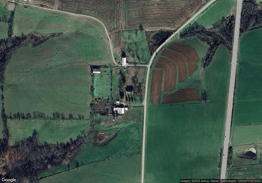
Map
Nearby Homes
- 5032 Main St
- 6122 Ky Highway 419
- 5014 Raymond Rd
- 5763 5763
- 6014 Old Northfork Rd
- 827 Oak Fairway Ct
- 2322 U S 68
- 0 Oak Pointe Dr
- 2229 Old Main St
- 2302 Hill-N-dale Dr
- 7640 Kentucky 11
- 2101 Old Main St
- 5755 U S 68
- 2023 U S 68
- 5736 U S 62
- 6050 Wards Pike
- lot 12 Tara Subdivision
- lot 13 Tara Subdivision
- lot 14 Tara Subdivision
- lot 11 Tara Subdivision
- 5014 Old Sardis Pike
- 5070 Old Sardis Pike
- 5004 Old Sardis Pike
- 5083 Old Sardis Pike
- 6266 Us Highway 68
- 6230 Us Highway 68
- 6252 Us Highway 68
- 5093 Old Sardis Pike
- 5055 Old Sardis Pike
- 5059 Old Sardis Pike
- 6026 Clift Pike
- 6028 Clift Pike
- 6032 Clift Pike
- 6034 Clift Pike
- 6048 Clift Pike
- 6052 Clift Pike
- 6074 Clift Pike
- 6078 Clift Pike
- 6076 Clift Pike
- 6070 Clift Pike