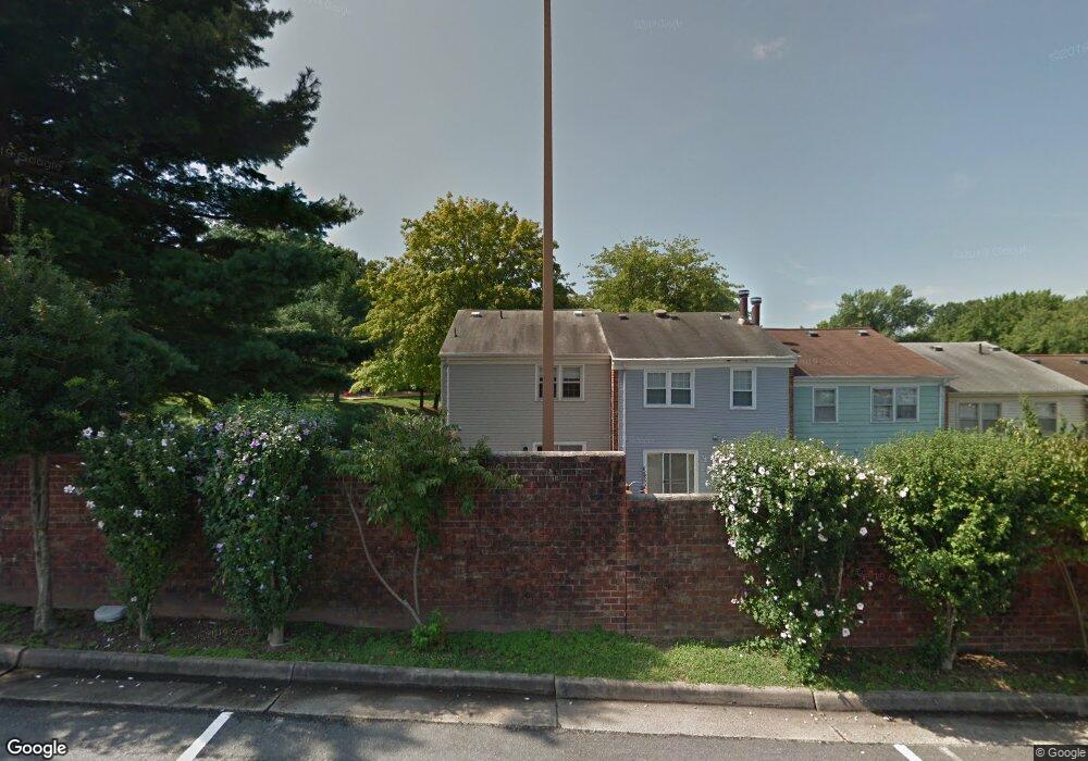
5037 Mcfarland Dr Fairfax, VA 22032
Estimated Value: $579,000 - $616,000
3
Beds
3
Baths
1,297
Sq Ft
$455/Sq Ft
Est. Value
About This Home
This home is located at 5037 Mcfarland Dr, Fairfax, VA 22032 and is currently estimated at $590,063, approximately $454 per square foot. 5037 Mcfarland Dr is a home located in Fairfax County with nearby schools including Laurel Ridge Elementary School, James W Robinson, Jr. Secondary School, and Holy Spirit School.
Ownership History
Date
Name
Owned For
Owner Type
Purchase Details
Closed on
Jan 7, 2000
Sold by
Lawrence Shirley M
Bought by
Pohutsky Chester L
Current Estimated Value
Home Financials for this Owner
Home Financials are based on the most recent Mortgage that was taken out on this home.
Original Mortgage
$95,880
Outstanding Balance
$30,212
Interest Rate
7.73%
Estimated Equity
$559,851
Create a Home Valuation Report for This Property
The Home Valuation Report is an in-depth analysis detailing your home's value as well as a comparison with similar homes in the area
Home Values in the Area
Average Home Value in this Area
Purchase History
| Date | Buyer | Sale Price | Title Company |
|---|---|---|---|
| Pohutsky Chester L | $127,840 | -- |
Source: Public Records
Mortgage History
| Date | Status | Borrower | Loan Amount |
|---|---|---|---|
| Open | Pohutsky Chester L | $95,880 |
Source: Public Records
Tax History Compared to Growth
Tax History
| Year | Tax Paid | Tax Assessment Tax Assessment Total Assessment is a certain percentage of the fair market value that is determined by local assessors to be the total taxable value of land and additions on the property. | Land | Improvement |
|---|---|---|---|---|
| 2025 | $5,666 | $557,940 | $180,000 | $377,940 |
| 2024 | $5,666 | $489,040 | $155,000 | $334,040 |
| 2023 | $5,443 | $482,290 | $155,000 | $327,290 |
| 2022 | $4,983 | $435,750 | $140,000 | $295,750 |
| 2021 | $4,939 | $420,890 | $135,000 | $285,890 |
| 2020 | $4,579 | $386,910 | $130,000 | $256,910 |
| 2019 | $4,333 | $366,140 | $120,000 | $246,140 |
| 2018 | $4,211 | $366,140 | $120,000 | $246,140 |
| 2017 | $3,911 | $336,870 | $110,000 | $226,870 |
| 2016 | $3,608 | $311,480 | $97,000 | $214,480 |
| 2015 | $3,691 | $330,770 | $97,000 | $233,770 |
| 2014 | $3,683 | $330,770 | $97,000 | $233,770 |
Source: Public Records
Map
Nearby Homes
- 4947 Mcfarland Ct
- 4869 Nash Dr
- 4906 Mcfarland Dr
- 9370 Colbert Ct
- 5006 Lone Oak Place
- 9717 Commonwealth Blvd
- 5039 Kenerson Dr
- 9438 Wallingford Dr
- 9883 Becket Ct
- 5137 Richardson Dr
- 5055 Kenerson Dr
- 9896 Becket Ct
- 4522 Pickett Rd
- 9710 Ashbourn Dr
- 5009 King David Blvd
- 9755 Abington Ct
- 9513 Burdett Rd
- 10017 Whitefield St
- 5313 Stonington Dr
- 5307 Richardson Dr
- 5035 Mcfarland Dr
- 5033 Mcfarland Dr
- 5031 Mcfarland Dr
- 5029 Mcfarland Dr
- 5027 Mcfarland Dr
- 5025 Mcfarland Dr
- 5030 Mcfarland Dr
- 5023 Mcfarland Dr
- 5028 Mcfarland Dr
- 5026 Mcfarland Dr
- 5021 Mcfarland Dr
- 5024 Mcfarland Dr
- 5022 Mcfarland Dr
- 5019 Mcfarland Dr
- 5000 Head Ct
- 5020 Mcfarland Dr
- 5002 Head Ct
- 5004 Head Ct
- 5017 Mcfarland Dr
- 5018 Mcfarland Dr