5039 Benson Hardee Rd Benson, NC 27504
Elevation NeighborhoodEstimated Value: $354,000 - $398,000
3
Beds
2
Baths
1,839
Sq Ft
$204/Sq Ft
Est. Value
About This Home
This home is located at 5039 Benson Hardee Rd, Benson, NC 27504 and is currently estimated at $374,659, approximately $203 per square foot. 5039 Benson Hardee Rd is a home located in Johnston County with nearby schools including Benson Elementary School, Benson Middle School, and West Johnston High School.
Ownership History
Date
Name
Owned For
Owner Type
Purchase Details
Closed on
Mar 23, 2009
Sold by
Murphy Thomas John and Murphy Katherine W
Bought by
Murphy Katherine W
Current Estimated Value
Purchase Details
Closed on
Nov 30, 2007
Sold by
Wilkins James E and Wilkins Linda S
Bought by
Murphy Katherine W and Murphy Thomas John
Create a Home Valuation Report for This Property
The Home Valuation Report is an in-depth analysis detailing your home's value as well as a comparison with similar homes in the area
Home Values in the Area
Average Home Value in this Area
Purchase History
| Date | Buyer | Sale Price | Title Company |
|---|---|---|---|
| Murphy Katherine W | -- | None Available | |
| Murphy Katherine W | $196,000 | None Available |
Source: Public Records
Tax History Compared to Growth
Tax History
| Year | Tax Paid | Tax Assessment Tax Assessment Total Assessment is a certain percentage of the fair market value that is determined by local assessors to be the total taxable value of land and additions on the property. | Land | Improvement |
|---|---|---|---|---|
| 2025 | $2,300 | $351,740 | $101,350 | $250,390 |
| 2024 | $1,811 | $210,950 | $47,300 | $163,650 |
| 2023 | $1,760 | $210,950 | $47,300 | $163,650 |
| 2022 | $1,868 | $210,950 | $47,300 | $163,650 |
| 2021 | $1,839 | $210,950 | $47,300 | $163,650 |
| 2020 | $1,837 | $210,950 | $47,300 | $163,650 |
| 2019 | $1,848 | $210,950 | $47,300 | $163,650 |
| 2018 | $1,447 | $170,270 | $36,970 | $133,300 |
| 2017 | $1,447 | $170,270 | $36,970 | $133,300 |
| 2016 | $1,447 | $170,270 | $36,970 | $133,300 |
| 2015 | $1,447 | $170,270 | $36,970 | $133,300 |
| 2014 | $1,447 | $170,270 | $36,970 | $133,300 |
Source: Public Records
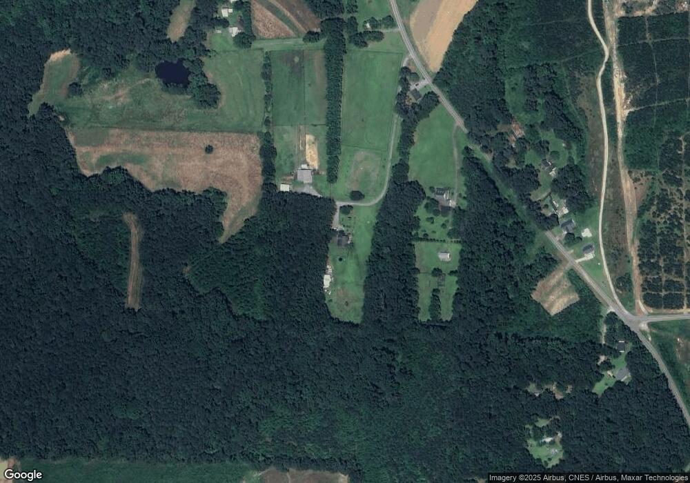
Map
Nearby Homes
- 414 Aquilla Rd
- 471 Turlington Dr
- 94 Starry Sky Dr
- 209 Constellation Ct
- 170 Starry Sky Dr
- 235 Starry Sky Dr
- 299 Starry Sky Dr
- 1035 Aquilla Rd
- 1052 Aquilla Rd
- 3826 Benson Hardee Rd
- Stanley Plan at Black Forest Pointe
- Wilmington Plan at Black Forest Pointe
- Avery Plan at Black Forest Pointe
- Cypress Plan at Black Forest Pointe
- Oxford Plan at Black Forest Pointe
- Ellerbe Plan at Black Forest Pointe
- Raleigh Plan at Black Forest Pointe
- 116 Dawn Rd
- 153 Wynd Crest Way
- 5750 Old Fairground Rd
- 4958 Benson Hardee Rd
- 4920 Benson Hardee Rd
- 4888 Benson Hardee Rd
- 5075 Benson Hardee Rd
- 5119 Benson Hardee Rd
- 4989 Benson Hardee Rd
- 4989 Benson Hardee Rd
- 4755 Benson Hardee Rd
- 5156 Benson Hardee Rd
- 5178 Benson Hardee Rd
- 4679 Benson Hardee Rd
- 5269 Benson Hardee Rd
- 8196 Elevation Rd
- 290 Aquilla Rd
- 294 Aquilla Rd
- 288 Aquilla Rd
- 8170 Elevation Rd
- 122 Aquilla Rd
- 292 Aquilla Rd
- 8148 Elevation Rd