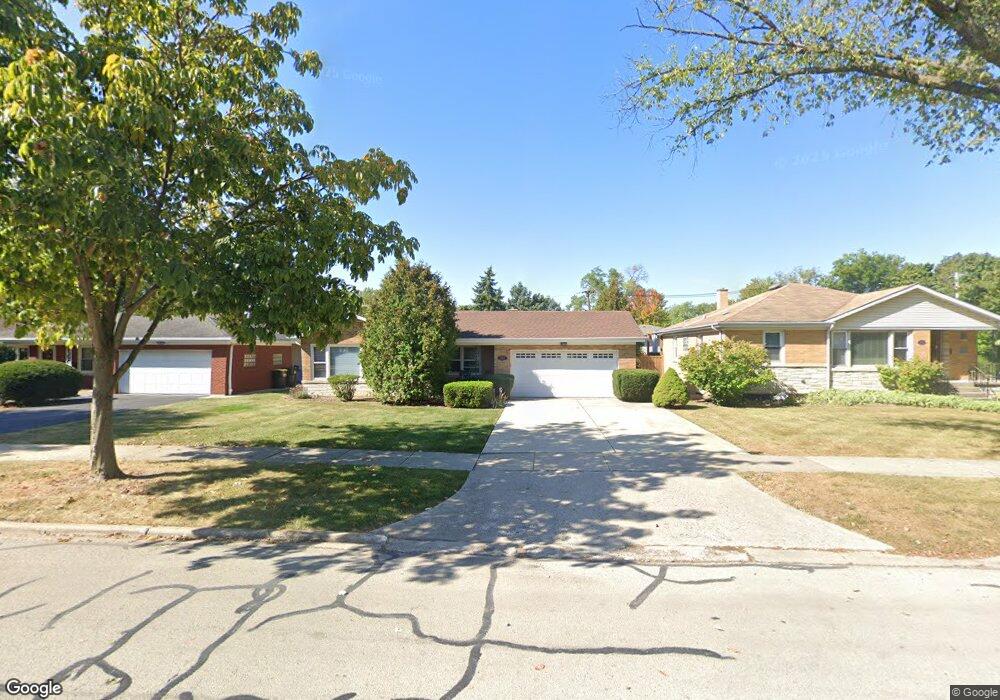
504 7th Ave La Grange, IL 60525
Estimated Value: $445,000 - $547,672
3
Beds
3
Baths
1,674
Sq Ft
$309/Sq Ft
Est. Value
About This Home
This home is located at 504 7th Ave, La Grange, IL 60525 and is currently estimated at $516,668, approximately $308 per square foot. 504 7th Ave is a home located in Cook County with nearby schools including Seventh Ave Elementary School, William F. Gurrie Middle School, and Lyons Township High School.
Ownership History
Date
Name
Owned For
Owner Type
Purchase Details
Closed on
Sep 14, 2006
Sold by
Perry Ronald R and Perry Christine D
Bought by
Pappas John J and Pappas Nancy L
Current Estimated Value
Home Financials for this Owner
Home Financials are based on the most recent Mortgage that was taken out on this home.
Original Mortgage
$356,250
Outstanding Balance
$202,694
Interest Rate
6%
Mortgage Type
Unknown
Estimated Equity
$313,974
Create a Home Valuation Report for This Property
The Home Valuation Report is an in-depth analysis detailing your home's value as well as a comparison with similar homes in the area
Home Values in the Area
Average Home Value in this Area
Purchase History
| Date | Buyer | Sale Price | Title Company |
|---|---|---|---|
| Pappas John J | $375,000 | Multiple |
Source: Public Records
Mortgage History
| Date | Status | Borrower | Loan Amount |
|---|---|---|---|
| Open | Pappas John J | $356,250 |
Source: Public Records
Tax History
| Year | Tax Paid | Tax Assessment Tax Assessment Total Assessment is a certain percentage of the fair market value that is determined by local assessors to be the total taxable value of land and additions on the property. | Land | Improvement |
|---|---|---|---|---|
| 2025 | $9,860 | $45,000 | $6,117 | $38,883 |
| 2024 | $9,860 | $45,000 | $6,117 | $38,883 |
| 2023 | $7,554 | $45,000 | $6,117 | $38,883 |
| 2022 | $7,554 | $30,319 | $5,273 | $25,046 |
| 2021 | $7,275 | $30,319 | $5,273 | $25,046 |
| 2020 | $7,108 | $30,319 | $5,273 | $25,046 |
| 2019 | $7,494 | $31,856 | $4,851 | $27,005 |
| 2018 | $7,399 | $31,856 | $4,851 | $27,005 |
| 2017 | $7,204 | $31,856 | $4,851 | $27,005 |
| 2016 | $6,328 | $25,645 | $4,218 | $21,427 |
| 2015 | $6,203 | $25,645 | $4,218 | $21,427 |
| 2014 | $6,093 | $25,645 | $4,218 | $21,427 |
| 2013 | $6,394 | $27,576 | $4,218 | $23,358 |
Source: Public Records
Map
Nearby Homes
- 600 8th Ave
- 434 Lagrange Rd
- 347 S 8th Ave
- 645 S 6th Ave
- 449 Ashley Ave
- 412 Bluff Ave
- 730 S 10th Ave
- 424 E Maple Ave
- 413 S Kensington Ave
- 711 S Catherine Ave
- 212 E Elm Ave
- 740 S Ashland Ave
- 822 S La Grange Rd
- 4617 Blanchan Ave
- 835 S Ashland Ave
- 4423 Eberly Ave
- 330 East Ave
- 509 S Brainard Ave
- 67 Bluff Ave
- 225 S Stone Ave
Your Personal Tour Guide
Ask me questions while you tour the home.