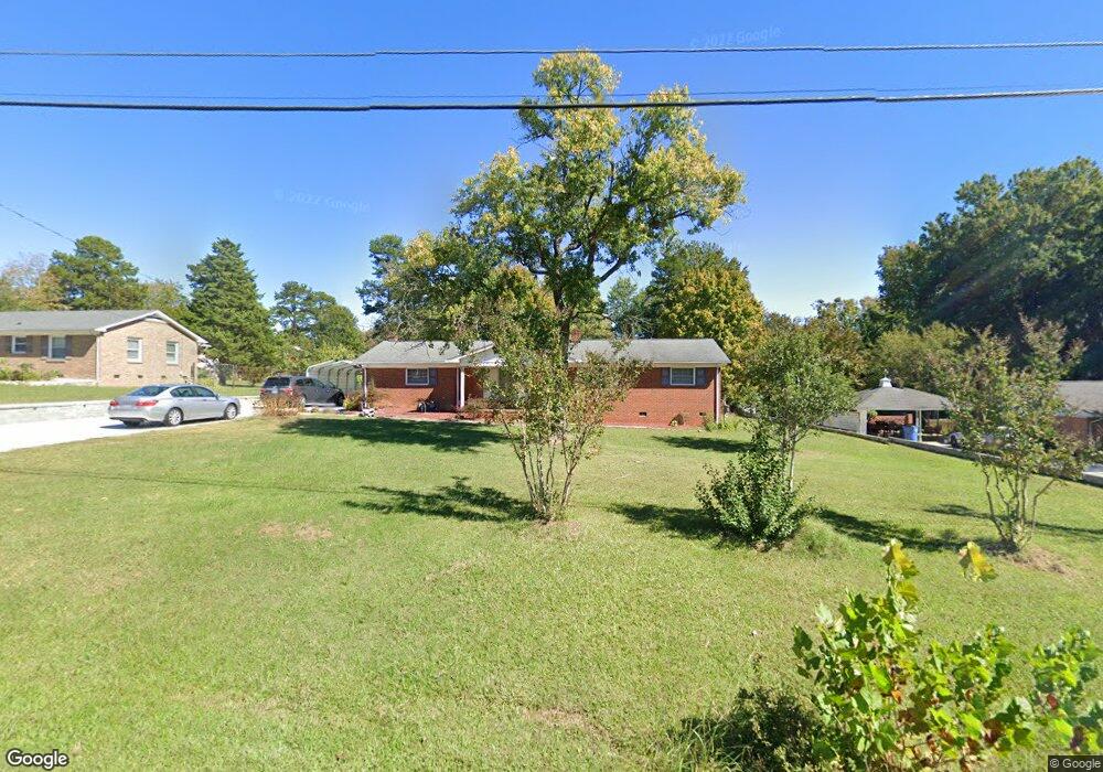
504 Baker Rd Archdale, NC 27263
Greater High Point NeighborhoodEstimated Value: $236,200 - $301,000
3
Beds
2
Baths
1,755
Sq Ft
$150/Sq Ft
Est. Value
About This Home
This home is located at 504 Baker Rd, Archdale, NC 27263 and is currently estimated at $263,050, approximately $149 per square foot. 504 Baker Rd is a home located in Guilford County with nearby schools including Allen Jay Elementary School, Southern Guilford Middle, and Southern Guilford High School.
Ownership History
Date
Name
Owned For
Owner Type
Purchase Details
Closed on
Jun 30, 2010
Sold by
Trinh Hai X and Pham Tim T
Bought by
Vo Vu Q and Pham Tu Uyen Thi
Current Estimated Value
Home Financials for this Owner
Home Financials are based on the most recent Mortgage that was taken out on this home.
Original Mortgage
$102,618
Outstanding Balance
$68,565
Interest Rate
4.83%
Mortgage Type
FHA
Estimated Equity
$194,485
Purchase Details
Closed on
Jul 10, 2003
Sold by
Hale Sandra Kennedy
Bought by
Trinh Hai X and Pham Tim T
Home Financials for this Owner
Home Financials are based on the most recent Mortgage that was taken out on this home.
Original Mortgage
$109,250
Interest Rate
5.17%
Mortgage Type
Purchase Money Mortgage
Create a Home Valuation Report for This Property
The Home Valuation Report is an in-depth analysis detailing your home's value as well as a comparison with similar homes in the area
Home Values in the Area
Average Home Value in this Area
Purchase History
| Date | Buyer | Sale Price | Title Company |
|---|---|---|---|
| Vo Vu Q | $104,000 | None Available | |
| Trinh Hai X | $115,000 | -- |
Source: Public Records
Mortgage History
| Date | Status | Borrower | Loan Amount |
|---|---|---|---|
| Open | Vo Vu Q | $102,618 | |
| Previous Owner | Trinh Hai X | $109,250 |
Source: Public Records
Tax History
| Year | Tax Paid | Tax Assessment Tax Assessment Total Assessment is a certain percentage of the fair market value that is determined by local assessors to be the total taxable value of land and additions on the property. | Land | Improvement |
|---|---|---|---|---|
| 2025 | $1,458 | $122,800 | $20,000 | $102,800 |
| 2024 | $1,458 | $122,800 | $20,000 | $102,800 |
| 2023 | $1,458 | $122,800 | $20,000 | $102,800 |
| 2022 | $1,458 | $122,800 | $20,000 | $102,800 |
| 2021 | $1,368 | $115,200 | $20,000 | $95,200 |
| 2020 | $1,345 | $115,200 | $20,000 | $95,200 |
| 2019 | $1,345 | $115,200 | $0 | $0 |
| 2018 | $1,338 | $115,200 | $0 | $0 |
| 2017 | $1,314 | $115,200 | $0 | $0 |
| 2016 | $1,316 | $113,000 | $0 | $0 |
| 2015 | $1,322 | $113,000 | $0 | $0 |
| 2014 | $1,333 | $113,000 | $0 | $0 |
Source: Public Records
Map
Nearby Homes
- 600 E Fairfield Rd
- 715 Baker Rd
- 717 Belmont Dr
- 312 Playground Rd
- 919 Belmont Dr
- 116 Liberty Place
- 914 Nance Ave
- 1000 Westbrook Ct
- 702 Oakmont Cir
- 10844 N Main St
- 518 Elliott St
- 702 Westbrook Ct Unit 702
- 609 Martha Place
- 2107 Jefferson Ct
- 607 Martha Place
- 818 Westbrook Ct Unit 818
- 500 Lynbrook Dr
- 112 Westbrook Ct
- 1105 E Springfield Rd
- 3630 Southpark Dr
Your Personal Tour Guide
Ask me questions while you tour the home.