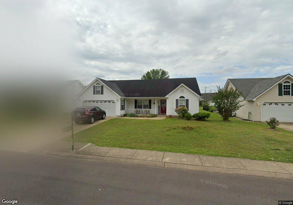
504 Colony Cir Fort Oglethorpe, GA 30742
Estimated Value: $258,258 - $317,000
Studio
2
Baths
1,374
Sq Ft
$208/Sq Ft
Est. Value
About This Home
This home is located at 504 Colony Cir, Fort Oglethorpe, GA 30742 and is currently estimated at $285,315, approximately $207 per square foot. 504 Colony Cir is a home located in Catoosa County with nearby schools including West Side Elementary School, Lakeview Middle School, and Lakeview-Fort Oglethorpe High School.
Ownership History
Date
Name
Owned For
Owner Type
Purchase Details
Closed on
Nov 15, 2013
Sold by
Best Land Investments Llc
Bought by
Evans Donna B
Current Estimated Value
Home Financials for this Owner
Home Financials are based on the most recent Mortgage that was taken out on this home.
Original Mortgage
$108,989
Outstanding Balance
$80,345
Interest Rate
4.25%
Mortgage Type
FHA
Estimated Equity
$204,970
Purchase Details
Closed on
Apr 3, 2007
Sold by
Whitmire John C
Bought by
Best Land Investments
Purchase Details
Closed on
Jun 3, 1999
Bought by
Whitmire John C
Create a Home Valuation Report for This Property
The Home Valuation Report is an in-depth analysis detailing your home's value as well as a comparison with similar homes in the area
Home Values in the Area
Average Home Value in this Area
Purchase History
| Date | Buyer | Sale Price | Title Company |
|---|---|---|---|
| Evans Donna B | $111,000 | -- | |
| Best Land Investments | $545,500 | -- | |
| Whitmire John C | $112,500 | -- |
Source: Public Records
Mortgage History
| Date | Status | Borrower | Loan Amount |
|---|---|---|---|
| Open | Evans Donna B | $108,989 |
Source: Public Records
Tax History
| Year | Tax Paid | Tax Assessment Tax Assessment Total Assessment is a certain percentage of the fair market value that is determined by local assessors to be the total taxable value of land and additions on the property. | Land | Improvement |
|---|---|---|---|---|
| 2025 | $2,117 | $101,199 | $11,000 | $90,199 |
| 2024 | $2,472 | $97,486 | $11,000 | $86,486 |
| 2023 | $2,033 | $76,010 | $11,000 | $65,010 |
| 2022 | $1,580 | $59,885 | $11,000 | $48,885 |
| 2021 | $1,496 | $59,885 | $11,000 | $48,885 |
| 2020 | $1,583 | $53,613 | $11,000 | $42,613 |
| 2019 | $1,429 | $51,613 | $9,000 | $42,613 |
| 2018 | $1,617 | $51,613 | $9,000 | $42,613 |
| 2017 | $1,409 | $48,660 | $7,200 | $41,460 |
| 2016 | $1,375 | $45,656 | $7,200 | $38,456 |
| 2015 | -- | $45,656 | $7,200 | $38,456 |
| 2014 | -- | $45,656 | $7,200 | $38,456 |
| 2013 | -- | $41,220 | $7,200 | $34,714 |
Source: Public Records
Map
Nearby Homes
- 47 Spring Place Dr
- 699 Colony Cir
- 128 Franklin Cir
- 351 Franklin Cir
- 792 Colony Cir
- 180 Gem Dr
- 54 Franklin Cir
- 425 Franklin Cir
- 2003 Cedar Creek Dr
- 875 Colony Cir
- 304 Cedar Creek Dr
- 74 Flagstone Dr
- 239 Flagstone Dr
- 344 Flagstone Dr
- 329 Flagstone Dr
- 14 Evergreen Cir
- 250 Steele Rd
- 72 Anchor Dr
- 127 Evergreen Cir
- 165 Evergreen Cir Unit Lot 71
- 490 Colony Cir
- 518 Colony Cir
- 38 Stone Edge Ct
- 478 Colony Cir
- 546 Colony Cir
- 503 Colony Cir
- 28 Stone Edge Ct
- 517 Colony Cir
- 489 Colony Cir
- 574 Colony Cir
- 48 Stone Edge Ct
- 464 Colony Cir
- 529 Colony Cir
- 588 Colony Cir
- 103 Spring Place Dr
- 539 Colony Cir
- 45 Stone Edge Ct
- 438 Colony Cir
- 602 Colony Cir
- 602 Colony Cir Unit 1
Your Personal Tour Guide
Ask me questions while you tour the home.