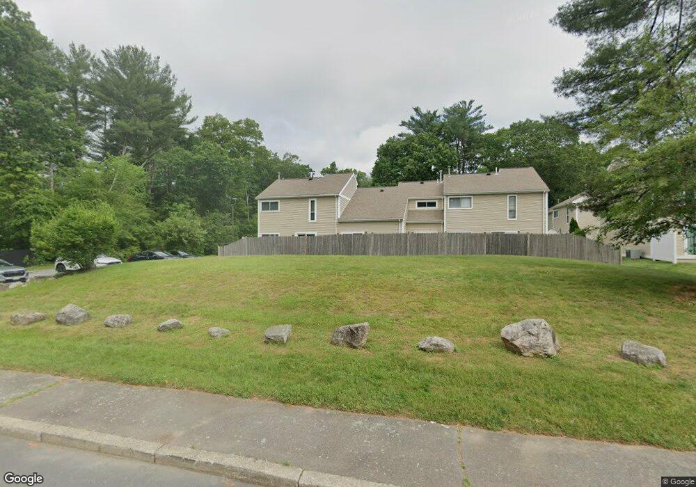
504 Dongary Rd South Easton, MA 02375
Estimated Value: $302,040 - $350,000
1
Bed
1
Bath
1,004
Sq Ft
$325/Sq Ft
Est. Value
About This Home
This home is located at 504 Dongary Rd, South Easton, MA 02375 and is currently estimated at $326,260, approximately $324 per square foot. 504 Dongary Rd is a home located in Bristol County with nearby schools including Easton Middle School, Oliver Ames High School, and Dovecrest Montessori Academy.
Ownership History
Date
Name
Owned For
Owner Type
Purchase Details
Closed on
Aug 12, 2003
Sold by
Bass Michael H
Bought by
Matthews Janice
Current Estimated Value
Purchase Details
Closed on
Jan 16, 1990
Sold by
Harris Todd A
Bought by
Bass Michael
Home Financials for this Owner
Home Financials are based on the most recent Mortgage that was taken out on this home.
Original Mortgage
$94,500
Interest Rate
9.61%
Mortgage Type
Purchase Money Mortgage
Purchase Details
Closed on
Dec 1, 1987
Sold by
Schlager Brian S
Bought by
Harris Todd A
Home Financials for this Owner
Home Financials are based on the most recent Mortgage that was taken out on this home.
Original Mortgage
$87,200
Interest Rate
11.59%
Mortgage Type
Purchase Money Mortgage
Create a Home Valuation Report for This Property
The Home Valuation Report is an in-depth analysis detailing your home's value as well as a comparison with similar homes in the area
Home Values in the Area
Average Home Value in this Area
Purchase History
| Date | Buyer | Sale Price | Title Company |
|---|---|---|---|
| Matthews Janice | $195,000 | -- | |
| Matthews Janice | $195,000 | -- | |
| Bass Michael | $105,000 | -- | |
| Bass Michael | $105,000 | -- | |
| Harris Todd A | $109,000 | -- |
Source: Public Records
Mortgage History
| Date | Status | Borrower | Loan Amount |
|---|---|---|---|
| Previous Owner | Harris Todd A | $86,200 | |
| Previous Owner | Harris Todd A | $94,500 | |
| Previous Owner | Harris Todd A | $87,200 |
Source: Public Records
Tax History Compared to Growth
Tax History
| Year | Tax Paid | Tax Assessment Tax Assessment Total Assessment is a certain percentage of the fair market value that is determined by local assessors to be the total taxable value of land and additions on the property. | Land | Improvement |
|---|---|---|---|---|
| 2025 | $2,974 | $238,300 | $0 | $238,300 |
| 2024 | $3,018 | $226,100 | $0 | $226,100 |
| 2023 | $2,781 | $190,600 | $0 | $190,600 |
| 2022 | $2,709 | $176,000 | $0 | $176,000 |
| 2021 | $2,429 | $156,900 | $0 | $156,900 |
| 2020 | $2,255 | $146,600 | $0 | $146,600 |
| 2019 | $2,721 | $170,500 | $0 | $170,500 |
| 2018 | $2,004 | $123,600 | $0 | $123,600 |
| 2017 | $1,867 | $115,100 | $0 | $115,100 |
| 2016 | $1,978 | $122,200 | $0 | $122,200 |
| 2015 | $2,002 | $119,300 | $0 | $119,300 |
| 2014 | $1,986 | $119,300 | $0 | $119,300 |
Source: Public Records
Map
Nearby Homes
- 509 Dongary Rd Unit 509
- 850 Washington St
- 63 Pine St
- 165 Pine Street (23 Lili Way)
- 24 Pine St
- 166 Purchase St
- 66 Depot St
- 20 Church St
- 305 Turnpike St Unit 26 2nd St
- 305 Turnpike St=237 5th St Unit 237
- 11 Ginger Way
- 23 Windchime Rd
- 13 Welch Rd Unit 13
- 4 County Ln
- 27 Short St
- 40 Bristol Dr
- 6 Indian Cove Way Unit 6
- 21 Scotch Dam Rd
- 5 Indian Cove Way Unit 5
- 15 Scotch Dam Rd
- 510 Dongary Rd
- 509 Dongary Rd
- 508 Dongary Rd
- 507 Dongary Rd
- 506 Dongary Rd
- 507 Dongary Rd Unit 3B7
- 507 Dongary Rd Unit 507
- 506 Dongary Rd Unit 506
- 510 Dongary Rd Unit 510
- 510 Dongary Rd Unit 510
- 503 Dongary Rd
- 502 Dongary Rd
- 501 Dongary Rd
- 501 Dongary Rd Unit 501
- 501 Dongary Rd Unit 105
- 503 Dongary Rd Unit 503
- 502 Dongary Rd Unit 502
- 306 Dongary Rd
- 307 Dongary Rd
- 306 Dongary Rd Unit 306