504 E Public Rd Mill Shoals, IL 62862
Estimated Value: $129,000 - $258,000
--
Bed
--
Bath
--
Sq Ft
10
Acres
About This Home
This home is located at 504 E Public Rd, Mill Shoals, IL 62862 and is currently estimated at $191,238. 504 E Public Rd is a home located in White County with nearby schools including New Hope Elementary School and Fairfield Community High School.
Ownership History
Date
Name
Owned For
Owner Type
Purchase Details
Closed on
Jun 27, 2022
Sold by
Boucherie James B and Boucherie Joyce E
Bought by
Smothers Zachary L
Current Estimated Value
Home Financials for this Owner
Home Financials are based on the most recent Mortgage that was taken out on this home.
Original Mortgage
$165,000
Outstanding Balance
$155,511
Interest Rate
4.25%
Mortgage Type
Construction
Estimated Equity
$35,727
Create a Home Valuation Report for This Property
The Home Valuation Report is an in-depth analysis detailing your home's value as well as a comparison with similar homes in the area
Home Values in the Area
Average Home Value in this Area
Purchase History
| Date | Buyer | Sale Price | Title Company |
|---|---|---|---|
| Smothers Zachary L | $240,000 | Attorney Only |
Source: Public Records
Mortgage History
| Date | Status | Borrower | Loan Amount |
|---|---|---|---|
| Open | Smothers Zachary L | $165,000 |
Source: Public Records
Tax History Compared to Growth
Tax History
| Year | Tax Paid | Tax Assessment Tax Assessment Total Assessment is a certain percentage of the fair market value that is determined by local assessors to be the total taxable value of land and additions on the property. | Land | Improvement |
|---|---|---|---|---|
| 2024 | $2,264 | $44,787 | $6,071 | $38,716 |
| 2023 | $2,100 | $39,342 | $5,333 | $34,009 |
| 2022 | $1,791 | $35,187 | $4,770 | $30,417 |
| 2021 | $1,886 | $33,467 | $4,537 | $28,930 |
| 2020 | $767 | $33,467 | $4,537 | $28,930 |
| 2019 | $783 | $33,467 | $4,537 | $28,930 |
| 2018 | $793 | $33,467 | $4,537 | $28,930 |
| 2017 | $809 | $33,136 | $4,492 | $28,644 |
| 2016 | $1,935 | $32,669 | $4,429 | $28,240 |
| 2015 | $1,875 | $32,063 | $4,347 | $27,716 |
| 2014 | $856 | $31,251 | $4,237 | $27,014 |
| 2013 | $1,830 | $29,734 | $4,031 | $25,703 |
| 2012 | $1,018 | $28,409 | $3,852 | $24,557 |
Source: Public Records
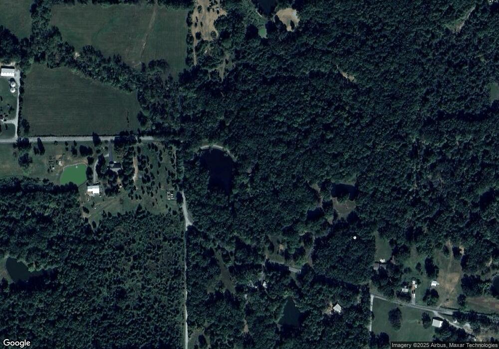
Map
Nearby Homes
- Linder St Unit LotWP001
- 1725 County Road 300 N
- 1757 County Road 350 N
- 630 County Road 1830 E
- 2326 County Road 800 E
- 617 County Road 1885
- 000 County Road 2500e
- 2284 County Road 620
- 1835 County Road 690 N
- 00 County Road 2530e
- 0000 County Road 450n
- 000 Cr 2600e
- 1405 SW 7th St
- 1312 S 1st St
- 1121 SW 6th St
- 1113 SW 6th St
- 307 Broadway St
- 000 Rosewood Ln
- 1 County Road 2600 E
- 505 SE 4th St
- 192 County Road 2500 N
- 191 County Road 2500 N
- 363 E Public Rd
- 202 County Road 2500 N
- 197 County Road 2500 N
- 201 County Road 2500 N
- 845 E Liberty St
- 877 E Liberty St
- 204 County Road 2500 N
- 1093 E Liberty St
- 199 County Road 2500 N
- 2495 County Road 175 E
- 000 County Road 20
- 320 E Public Rd
- 1000 E Liberty St
- 846 E Liberty St
- 815 Shrewsbury Rd
- 1183 E Liberty St
- 1092 E Liberty St
- 311 E Public Rd