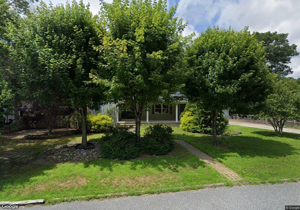
504 Forrest Brook Dr Galloway, NJ 08205
Estimated Value: $523,000 - $583,000
Studio
--
Bath
2,908
Sq Ft
$191/Sq Ft
Est. Value
About This Home
This home is located at 504 Forrest Brook Dr, Galloway, NJ 08205 and is currently estimated at $554,857, approximately $190 per square foot. 504 Forrest Brook Dr is a home located in Atlantic County with nearby schools including Absegami High School, Oakcrest High School, and Cedar Creek High School.
Ownership History
Date
Name
Owned For
Owner Type
Purchase Details
Closed on
Aug 21, 2012
Sold by
Hahn Paul
Bought by
Cowden John and Cowden Carol
Current Estimated Value
Home Financials for this Owner
Home Financials are based on the most recent Mortgage that was taken out on this home.
Original Mortgage
$275,000
Outstanding Balance
$36,643
Interest Rate
2.84%
Mortgage Type
Purchase Money Mortgage
Estimated Equity
$518,214
Purchase Details
Closed on
Feb 7, 2011
Sold by
Hahn Paul and Hahn Christina
Bought by
Hahn Paul
Create a Home Valuation Report for This Property
The Home Valuation Report is an in-depth analysis detailing your home's value as well as a comparison with similar homes in the area
Home Values in the Area
Average Home Value in this Area
Purchase History
| Date | Buyer | Sale Price | Title Company |
|---|---|---|---|
| Cowden John | $280,000 | North American Title Agency | |
| Hahn Paul | -- | None Available |
Source: Public Records
Mortgage History
| Date | Status | Borrower | Loan Amount |
|---|---|---|---|
| Open | Cowden John | $275,000 |
Source: Public Records
Tax History
| Year | Tax Paid | Tax Assessment Tax Assessment Total Assessment is a certain percentage of the fair market value that is determined by local assessors to be the total taxable value of land and additions on the property. | Land | Improvement |
|---|---|---|---|---|
| 2025 | $9,066 | $271,600 | $53,800 | $217,800 |
| 2024 | $9,066 | $271,600 | $53,800 | $217,800 |
| 2023 | $8,721 | $271,600 | $53,800 | $217,800 |
| 2022 | $8,721 | $271,600 | $53,800 | $217,800 |
| 2021 | $8,547 | $271,600 | $53,800 | $217,800 |
| 2020 | $8,411 | $271,600 | $53,800 | $217,800 |
| 2019 | $8,257 | $271,600 | $53,800 | $217,800 |
| 2018 | $8,373 | $271,600 | $53,800 | $217,800 |
| 2017 | $8,373 | $271,600 | $53,800 | $217,800 |
| 2016 | $8,300 | $271,600 | $53,800 | $217,800 |
| 2015 | $8,262 | $271,600 | $53,800 | $217,800 |
| 2014 | $7,988 | $271,600 | $53,800 | $217,800 |
Source: Public Records
Map
Nearby Homes
- 528 Holly Brook Dr
- 44 E Woodland Ave Unit C0C44
- 86 E Woodland Ave Unit D86
- 90 E Woodland Ave Unit E90
- 623 E Biscayne Ave
- 105 Hillside Ave
- 47 E Woodland Ave Unit C47
- 546 A E Brook Ln
- 0-0 E Dickinson Ave
- 123 Bayview Dr
- 130 Davis Ave
- 130 Crestview Ave
- 615 Woodland Ave
- 604 E Pennsylvania Ave
- 613 S New York Rd
- 363 E Upland Ave
- 10 E Curran Dr
- 4 E Curran Dr
- 112 Woodcrest Ave
- 161 E Wyoming Ave
- 504 Forrest Brook Dr
- 502 Forrest Brook Dr
- 506 E Forestbrook Dr
- 552 S Seaview Ave
- 501 Forrest Brook Dr
- 500 Forrest Brook Dr
- 508 Forrest Brook Dr
- 523 Forrest Brook Dr
- 505 Forrest Brook Dr
- 524 S Seaview Ave
- 526 S Seaview Ave
- 546 S Seaview Ave
- 556 S Seaview Ave
- 501 Arbor Ct
- 510 Forrest Brook Dr
- 507 Forrest Brook Dr
- 525 Forrest Brook Dr
- 510 Forrest Brook Dr
- 528 Forrest Brook Dr
- 502 Arbor Ct
Your Personal Tour Guide
Ask me questions while you tour the home.