504 Moore Rd Newnan, GA 30263
Estimated Value: $400,000 - $489,679
3
Beds
3
Baths
2,569
Sq Ft
$175/Sq Ft
Est. Value
About This Home
This home is located at 504 Moore Rd, Newnan, GA 30263 and is currently estimated at $450,670, approximately $175 per square foot. 504 Moore Rd is a home located in Coweta County with nearby schools including Poplar Road Elementary School, East Coweta Middle School, and East Coweta High School.
Ownership History
Date
Name
Owned For
Owner Type
Purchase Details
Closed on
Dec 8, 2004
Sold by
Miller Kimberly A
Bought by
Shellogg Christine
Current Estimated Value
Home Financials for this Owner
Home Financials are based on the most recent Mortgage that was taken out on this home.
Original Mortgage
$180,000
Outstanding Balance
$89,167
Interest Rate
5.67%
Mortgage Type
New Conventional
Estimated Equity
$361,503
Purchase Details
Closed on
Jun 18, 1997
Bought by
Hargett Laney R and Hargett Jo
Purchase Details
Closed on
Nov 30, 1994
Bought by
Hurley Howard
Purchase Details
Closed on
Sep 7, 1976
Bought by
Hurley A C
Create a Home Valuation Report for This Property
The Home Valuation Report is an in-depth analysis detailing your home's value as well as a comparison with similar homes in the area
Home Values in the Area
Average Home Value in this Area
Purchase History
| Date | Buyer | Sale Price | Title Company |
|---|---|---|---|
| Shellogg Christine | $225,000 | -- | |
| Hargett Laney R | $101,400 | -- | |
| Hurley Howard | -- | -- | |
| Hurley A C | $28,600 | -- |
Source: Public Records
Mortgage History
| Date | Status | Borrower | Loan Amount |
|---|---|---|---|
| Open | Shellogg Christine | $180,000 |
Source: Public Records
Tax History Compared to Growth
Tax History
| Year | Tax Paid | Tax Assessment Tax Assessment Total Assessment is a certain percentage of the fair market value that is determined by local assessors to be the total taxable value of land and additions on the property. | Land | Improvement |
|---|---|---|---|---|
| 2025 | $4,173 | $188,701 | $50,006 | $138,694 |
| 2024 | $3,549 | $157,462 | $27,459 | $130,004 |
| 2023 | $3,549 | $146,748 | $27,711 | $119,038 |
| 2022 | $3,010 | $126,877 | $25,192 | $101,685 |
| 2021 | $2,916 | $115,426 | $23,992 | $91,434 |
| 2020 | $2,934 | $115,426 | $23,992 | $91,434 |
| 2019 | $2,579 | $92,932 | $25,561 | $67,371 |
| 2018 | $2,585 | $92,932 | $25,561 | $67,371 |
| 2017 | $2,584 | $92,932 | $25,561 | $67,371 |
| 2016 | $2,555 | $92,932 | $25,561 | $67,371 |
| 2015 | $2,514 | $92,932 | $25,561 | $67,371 |
| 2014 | $2,497 | $92,932 | $25,561 | $67,371 |
Source: Public Records
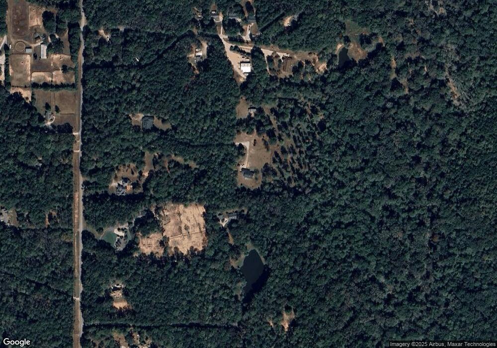
Map
Nearby Homes
- 465 Little Rd
- 2784 Martin Mill Rd
- 0 Cannon Rd Unit 7627017
- 0 Cannon Rd Unit 10566028
- 1948 Highway 16 E
- 1877 Highway 16 E
- 2812 Highway 16 E
- 215 Grey Fairs Ave
- 92 Gordon Oaks Way
- 4083 Highway 54
- 30 Linton Estates Ave
- 143 Ryeland Dr
- 65 Oakhurst Trail
- 69 Oakhurst Trail
- 98 Ryeland Dr
- 136 Ryeland Dr
- Bent Tree Court Lot: A-20
- 0 Bent Tree Ct Unit LOT A-20 10611800
- 1495 Martin Mill Rd
- 2725 Gordon Rd