Estimated Value: $4,083,044
--
Bed
--
Bath
27,528
Sq Ft
$148/Sq Ft
Est. Value
About This Home
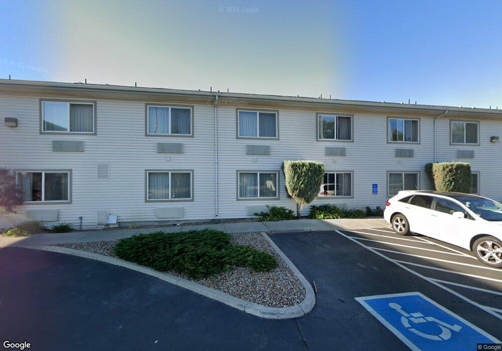
This home is located at 504 N Highway 20, Hines, OR 97738 and is currently estimated at $4,083,044, approximately $148 per square foot. 504 N Highway 20 is a home located in Harney County with nearby schools including Henry L. Slater Elementary School, Hines Middle School, and Burns High School.
Ownership History
Date
Name
Owned For
Owner Type
Purchase Details
Closed on
Oct 29, 2024
Sold by
Cross Keys Station-Hines
Bought by
Inn At Cross Keys Station-Hines Llc
Current Estimated Value
Purchase Details
Closed on
Jul 14, 2011
Sold by
North Cascades National Bank
Bought by
Inn At Cross Keys Station Hines
Purchase Details
Closed on
Jul 22, 2010
Sold by
North Cascades National Bank
Bought by
Hines Motel Partners Llc
Purchase Details
Closed on
Jun 14, 2010
Sold by
Hines Motel Partners Llc
Bought by
Inn At Cross Keys Station Hines
Create a Home Valuation Report for This Property
The Home Valuation Report is an in-depth analysis detailing your home's value as well as a comparison with similar homes in the area
Home Values in the Area
Average Home Value in this Area
Purchase History
| Date | Buyer | Sale Price | Title Company |
|---|---|---|---|
| Inn At Cross Keys Station-Hines Llc | -- | None Listed On Document | |
| Inn At Cross Keys Station Hines | -- | None Available | |
| Hines Motel Partners Llc | -- | None Available | |
| Inn At Cross Keys Station Hines | $1,660,000 | None Available |
Source: Public Records
Tax History Compared to Growth
Tax History
| Year | Tax Paid | Tax Assessment Tax Assessment Total Assessment is a certain percentage of the fair market value that is determined by local assessors to be the total taxable value of land and additions on the property. | Land | Improvement |
|---|---|---|---|---|
| 2025 | $35,413 | $2,064,310 | -- | -- |
| 2024 | $34,864 | $2,004,190 | -- | -- |
| 2023 | $34,864 | $1,945,820 | $0 | $0 |
| 2022 | $29,617 | $1,889,150 | $0 | $0 |
| 2021 | $29,649 | $1,834,130 | $0 | $0 |
| 2020 | $25,837 | $1,667,000 | $0 | $0 |
| 2019 | $30,349 | $1,780,710 | $0 | $0 |
| 2018 | $28,702 | $1,728,850 | $0 | $0 |
| 2017 | $28,047 | $1,678,500 | $0 | $0 |
| 2016 | $26,894 | $1,629,620 | $0 | $0 |
| 2015 | $26,950 | $1,582,160 | $0 | $0 |
| 2014 | $26,673 | $1,536,080 | $0 | $0 |
Source: Public Records
Map
Nearby Homes
- 507 N Roanoke Ave
- 504 W Ridge Ave
- 501 Westridge Ave
- 516 W Ridge Ave
- 220 N Saginaw Ave
- TL 802 King Ave
- TL 2100 King Roosevelt Ave
- 706 Knight Dr
- TL 300 Pierce St
- TL 200 Knight Dr
- 104 N Newport Ave
- 400 S Shasta Place
- 139 S Ogden Ave
- 140 S Ogden Ave
- 150 S Ogden Ave
- Tl 700 S Quincy Ave
- 781 S Kearney Ave
- 137 S Saginaw Ave
- 420 S Juntura Ave
- TL800 Lottery Ln
- 425 N Quincy Ave
- 428 N Quincy Ave
- 510 Hwy 20
- 501 N Roanoke Ave
- 513 N Roanoke Ave
- 215 W Jamison Ave
- 420 N Quincy Ave
- 519 N Roanoke Ave
- 505 U S 20
- 505 Highway 20 N
- 437 N Roanoke Ave
- 525 N Roanoke Ave
- 506 N Roanoke Ave
- 500 N Roanoke Ave
- 427 N Roanoke Ave
- 512 N Roanoke Ave
- 412 N Quincy Ave
- 518 N Roanoke Ave
- 531 N Roanoke Ave
- 305 W Jamison Ave