Estimated Value: $554,000 - $619,000
5
Beds
4
Baths
4,381
Sq Ft
$132/Sq Ft
Est. Value
About This Home
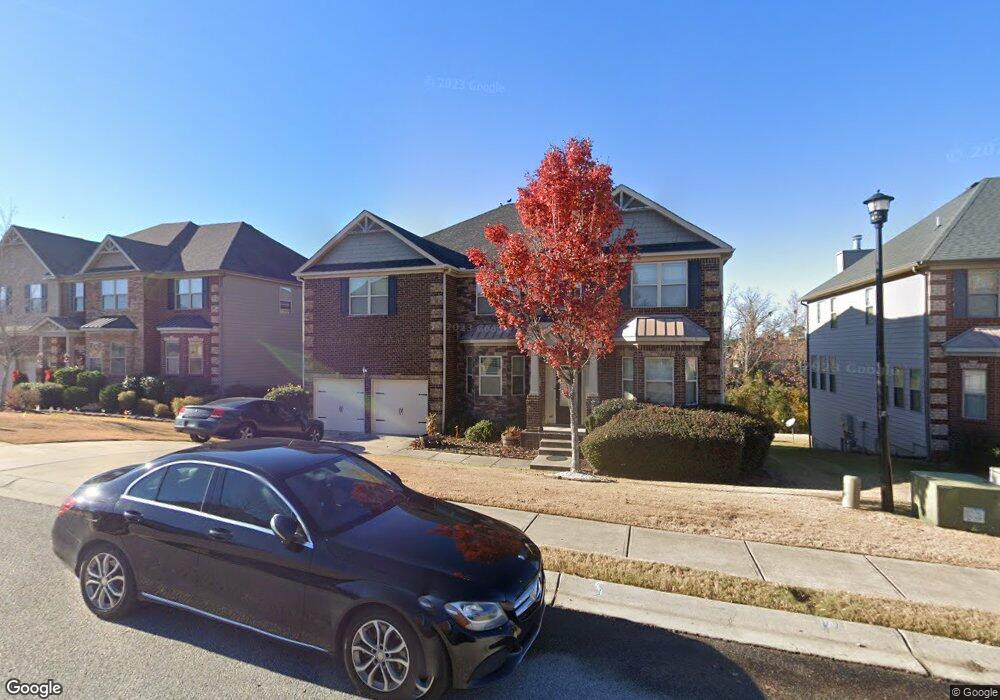
This home is located at 504 Oconee Cir, Evans, GA 30809 and is currently estimated at $576,894, approximately $131 per square foot. 504 Oconee Cir is a home located in Columbia County with nearby schools including Evans Elementary School, Evans Middle School, and Evans High School.
Ownership History
Date
Name
Owned For
Owner Type
Purchase Details
Closed on
Sep 4, 2012
Sold by
Pillon Comm Inc
Bought by
Davis Stephanie M
Current Estimated Value
Home Financials for this Owner
Home Financials are based on the most recent Mortgage that was taken out on this home.
Original Mortgage
$272,658
Outstanding Balance
$188,529
Interest Rate
3.63%
Mortgage Type
New Conventional
Estimated Equity
$388,365
Purchase Details
Closed on
Apr 4, 2011
Sold by
Hereford Farm Dev Llc
Bought by
Pillon Comm Inc
Home Financials for this Owner
Home Financials are based on the most recent Mortgage that was taken out on this home.
Original Mortgage
$167,870
Interest Rate
4.83%
Mortgage Type
New Conventional
Create a Home Valuation Report for This Property
The Home Valuation Report is an in-depth analysis detailing your home's value as well as a comparison with similar homes in the area
Home Values in the Area
Average Home Value in this Area
Purchase History
| Date | Buyer | Sale Price | Title Company |
|---|---|---|---|
| Davis Stephanie M | $340,900 | -- | |
| Pillon Comm Inc | $56,000 | -- | |
| Pillon Communities Inc | $56,000 | -- |
Source: Public Records
Mortgage History
| Date | Status | Borrower | Loan Amount |
|---|---|---|---|
| Open | Davis Stephanie M | $272,658 | |
| Previous Owner | Pillon Communities Inc | $167,870 |
Source: Public Records
Tax History
| Year | Tax Paid | Tax Assessment Tax Assessment Total Assessment is a certain percentage of the fair market value that is determined by local assessors to be the total taxable value of land and additions on the property. | Land | Improvement |
|---|---|---|---|---|
| 2025 | $5,876 | $243,996 | $36,004 | $207,992 |
| 2024 | $5,723 | $226,774 | $32,404 | $194,370 |
| 2023 | $5,723 | $204,139 | $31,404 | $172,735 |
| 2022 | $5,315 | $202,369 | $30,404 | $171,965 |
| 2021 | $4,611 | $167,502 | $27,804 | $139,698 |
| 2020 | $4,663 | $165,879 | $27,404 | $138,475 |
| 2019 | $4,714 | $167,729 | $25,204 | $142,525 |
| 2018 | $4,357 | $154,364 | $24,004 | $130,360 |
| 2017 | $4,410 | $155,706 | $23,804 | $131,902 |
| 2016 | $4,310 | $157,785 | $23,780 | $134,005 |
| 2015 | $4,243 | $155,014 | $22,280 | $132,734 |
| 2014 | $3,930 | $141,618 | $19,280 | $122,338 |
Source: Public Records
Map
Nearby Homes
- 5458 Everlook Cir
- 7210 Hoffman Dr
- 4817 Tanner Oaks Dr
- 509 Sagebrush Trail
- 204 Asa Way
- 512 Sagebrush Trail
- 102 Highgrass Trail
- 263 Asa Way
- 4035 Payten Place
- 1733 Davenport Dr
- 606 Bunchgrass St
- 609 Bunchgrass St
- 563 Bunchgrass St
- 4025 Stowe Dr
- 327 Holly Oak Way Unit SC80
- 596 Vinings Dr
- 329 Holly Oak Way Unit SC79
- 592 Vinings Dr
- 349 Farmington Dr E
- 2140 Sinclair Dr Unit Sc85
Your Personal Tour Guide
Ask me questions while you tour the home.