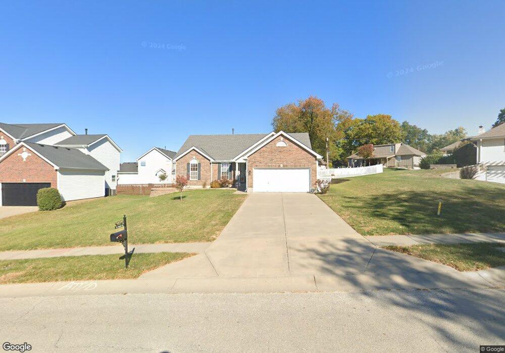
504 Pershing Ave Liberty, MO 64068
Estimated Value: $320,067 - $373,000
3
Beds
2
Baths
1,438
Sq Ft
$241/Sq Ft
Est. Value
About This Home
This home is located at 504 Pershing Ave, Liberty, MO 64068 and is currently estimated at $346,767, approximately $241 per square foot. 504 Pershing Ave is a home located in Clay County with nearby schools including Alexander Doniphan Elementary School, Discovery Middle School, and Liberty High School.
Ownership History
Date
Name
Owned For
Owner Type
Purchase Details
Closed on
Aug 20, 2015
Sold by
Proffitt Gene E and Proffitt Sandra S
Bought by
Lajaunie Mary
Current Estimated Value
Home Financials for this Owner
Home Financials are based on the most recent Mortgage that was taken out on this home.
Original Mortgage
$159,350
Outstanding Balance
$125,199
Interest Rate
4.08%
Mortgage Type
New Conventional
Estimated Equity
$221,568
Purchase Details
Closed on
Nov 30, 2005
Sold by
Mcbride & Son Homes Kansas City Llc
Bought by
Proffitt Gene E and Proffitt Sandra S
Home Financials for this Owner
Home Financials are based on the most recent Mortgage that was taken out on this home.
Original Mortgage
$84,398
Interest Rate
6.06%
Mortgage Type
Fannie Mae Freddie Mac
Create a Home Valuation Report for This Property
The Home Valuation Report is an in-depth analysis detailing your home's value as well as a comparison with similar homes in the area
Home Values in the Area
Average Home Value in this Area
Purchase History
| Date | Buyer | Sale Price | Title Company |
|---|---|---|---|
| Lajaunie Mary | -- | Stewart Title Co | |
| Proffitt Gene E | -- | Thomson Title Corporation |
Source: Public Records
Mortgage History
| Date | Status | Borrower | Loan Amount |
|---|---|---|---|
| Open | Lajaunie Mary | $159,350 | |
| Previous Owner | Proffitt Gene E | $84,398 |
Source: Public Records
Tax History
| Year | Tax Paid | Tax Assessment Tax Assessment Total Assessment is a certain percentage of the fair market value that is determined by local assessors to be the total taxable value of land and additions on the property. | Land | Improvement |
|---|---|---|---|---|
| 2025 | $3,510 | $49,990 | -- | -- |
| 2024 | $3,510 | $45,640 | -- | -- |
| 2023 | $3,570 | $45,640 | $0 | $0 |
| 2022 | $3,245 | $40,960 | $0 | $0 |
| 2021 | $3,083 | $39,216 | $6,650 | $32,566 |
| 2020 | $2,946 | $35,190 | $0 | $0 |
| 2019 | $2,945 | $35,190 | $0 | $0 |
Source: Public Records
Map
Nearby Homes
- 429 Pershing St
- 407 Glendale Rd
- 406 Melrose St
- 509 Belmont St
- Lot 2 Bent Oaks Dr
- 2116 Winding Woods Dr
- Lot 2A Oak Crest Dr
- 7503 N Lewis Ave
- 7511 N Lewis Ave
- 7218 N Lewis Ave
- 405 Wherritt Ln
- 1601 Dunwich Dr
- 1561 Parkside Dr
- 7629 N Booth Ave
- 7620 N Booth Ave
- 7644 N Booth Ave
- 7616 N Booth Ave
- 9008 NE 80th St
- 8325 NE 76th Terrace
- 8308 NE 76th Terrace
- 502 Pershing Ave
- 804 Glendale Rd
- 809 Midjay Dr
- 800 Glendale Rd
- 805 Midjay Dr
- 903 Midjay Dr
- 900 Glendale Rd
- 717 Midjay Dr
- 904 Glendale Rd
- 907 Midjay Dr
- 436 Pershing St
- 803 Glendale Rd
- 708 Glendale Rd
- 713 Midjay Dr
- 901 Glendale Rd
- 908 Glendale Rd
- 911 Midjay Dr
- 432 Pershing St
- 424 Gordon Dr
- 709 Midjay Dr
Your Personal Tour Guide
Ask me questions while you tour the home.