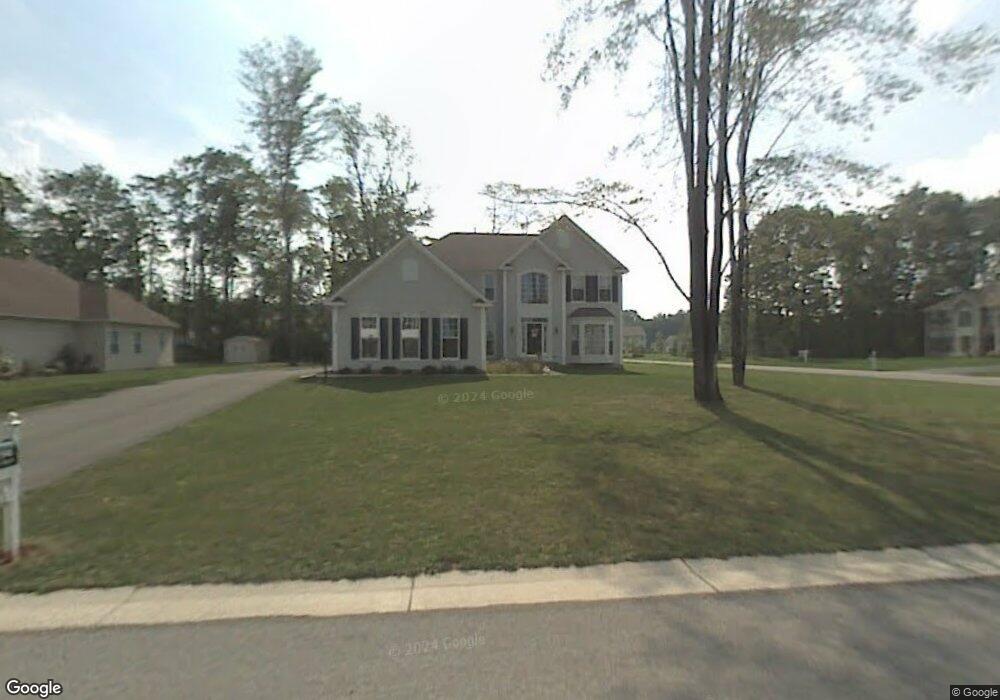
504 Robindale Dr Webster, NY 14580
Estimated Value: $545,000 - $715,000
4
Beds
3
Baths
2,630
Sq Ft
$231/Sq Ft
Est. Value
About This Home
This home is located at 504 Robindale Dr, Webster, NY 14580 and is currently estimated at $607,604, approximately $231 per square foot. 504 Robindale Dr is a home located in Monroe County with nearby schools including DeWitt Road Elementary School, Willink Middle School, and Thomas High School.
Ownership History
Date
Name
Owned For
Owner Type
Purchase Details
Closed on
Aug 11, 2005
Sold by
Nvr Inc D/V/A/ Ryan Home
Bought by
Frey James
Current Estimated Value
Home Financials for this Owner
Home Financials are based on the most recent Mortgage that was taken out on this home.
Original Mortgage
$286,565
Outstanding Balance
$145,569
Interest Rate
5.54%
Mortgage Type
New Conventional
Estimated Equity
$462,035
Create a Home Valuation Report for This Property
The Home Valuation Report is an in-depth analysis detailing your home's value as well as a comparison with similar homes in the area
Home Values in the Area
Average Home Value in this Area
Purchase History
| Date | Buyer | Sale Price | Title Company |
|---|---|---|---|
| Frey James | $293,862 | Bernard Salamone |
Source: Public Records
Mortgage History
| Date | Status | Borrower | Loan Amount |
|---|---|---|---|
| Open | Frey James | $286,565 |
Source: Public Records
Tax History
| Year | Tax Paid | Tax Assessment Tax Assessment Total Assessment is a certain percentage of the fair market value that is determined by local assessors to be the total taxable value of land and additions on the property. | Land | Improvement |
|---|---|---|---|---|
| 2024 | $10,699 | $224,000 | $33,200 | $190,800 |
| 2023 | $10,444 | $224,000 | $33,200 | $190,800 |
| 2022 | $11,247 | $245,000 | $33,200 | $211,800 |
| 2021 | $11,393 | $245,000 | $33,200 | $211,800 |
| 2020 | $11,585 | $259,500 | $33,200 | $226,300 |
| 2019 | $11,261 | $259,500 | $33,200 | $226,300 |
| 2018 | $10,445 | $259,500 | $33,200 | $226,300 |
| 2017 | $11,172 | $291,600 | $33,200 | $258,400 |
| 2016 | $11,261 | $291,600 | $33,200 | $258,400 |
| 2015 | -- | $291,600 | $33,200 | $258,400 |
| 2014 | -- | $291,600 | $33,200 | $258,400 |
Source: Public Records
Map
Nearby Homes
- Lot #30 Maple Dr
- 250 Norwood Cir
- 763 Maple Dr
- 510 Klem Rd
- 621 Brookstone Bend
- 703 Mariner Cir
- 675 Maple Dr
- 430 Sundance Trail
- 524 Old Mill Ln
- 1063 Hillsboro Cove Cir
- 302 Marina View Ln
- 1103 Hillsboro Cove Cir
- 439 Tara Ln
- 766 Somerset Dr
- 453 Pheasant Run
- 260 Point Pleasant Rd
- 408 Newport Rd
- 409 Newport Rd
- 407 Newport Rd
- 286 Filon Ave
- 508 Robindale Dr
- 308 Sunningdale Rise
- 807 Wood Meadow Way
- 803 Wood Meadow Way
- 310 Sunningdale Rise
- 512 Robindale Dr
- 517 Robindale Dr
- 306 Sunningdale Rise
- 799 Wood Meadow Way
- 312 Sunningdale Rise
- 521 Robindale Dr
- 0 Sunningdale Rise Unit R226948
- 795 Wood Meadow Way
- 516 Robindale Dr
- 304 Sunningdale Rise
- 525 Robindale Dr
- 314 Sunningdale Rise
- 791 Wood Meadow Way
- 311 Sunningdale Rise
- 309 Sunningdale Rise
Your Personal Tour Guide
Ask me questions while you tour the home.