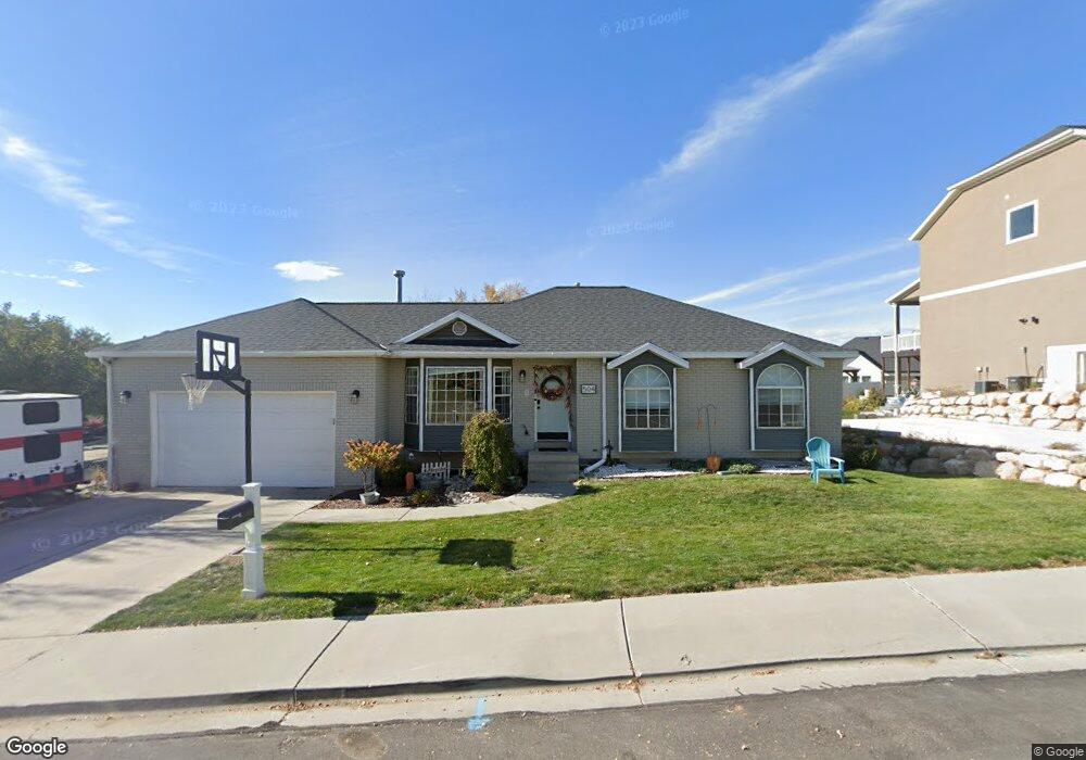
504 S 1045 W Orem, UT 84058
Sunset Heights NeighborhoodEstimated Value: $547,000 - $590,000
3
Beds
3
Baths
1,288
Sq Ft
$444/Sq Ft
Est. Value
About This Home
This home is located at 504 S 1045 W, Orem, UT 84058 and is currently estimated at $572,260, approximately $444 per square foot. 504 S 1045 W is a home located in Utah County with nearby schools including Orem Elementary School, Lakeridge Jr High School, and Mountain View High School.
Ownership History
Date
Name
Owned For
Owner Type
Purchase Details
Closed on
Jul 16, 2020
Sold by
Hainey Timothy J and Hainey Georgette M
Bought by
Hainey Michael J and Hainey Jentry
Current Estimated Value
Purchase Details
Closed on
Dec 31, 2012
Sold by
Mckell Rick
Bought by
Stone Ridge Financial Llc
Purchase Details
Closed on
Jan 22, 1999
Sold by
Hoch Glenn D and Hoch Debra S
Bought by
Hainey Timothy J and Hainey Georgette M
Home Financials for this Owner
Home Financials are based on the most recent Mortgage that was taken out on this home.
Original Mortgage
$112,200
Interest Rate
6.63%
Create a Home Valuation Report for This Property
The Home Valuation Report is an in-depth analysis detailing your home's value as well as a comparison with similar homes in the area
Home Values in the Area
Average Home Value in this Area
Purchase History
| Date | Buyer | Sale Price | Title Company |
|---|---|---|---|
| Hainey Michael J | -- | Utah First Title Ins Agcy | |
| Stone Ridge Financial Llc | -- | Select Title Ins Age | |
| Hainey Timothy J | -- | Empire Land Title Company |
Source: Public Records
Mortgage History
| Date | Status | Borrower | Loan Amount |
|---|---|---|---|
| Previous Owner | Hainey Timothy J | $112,200 |
Source: Public Records
Tax History
| Year | Tax Paid | Tax Assessment Tax Assessment Total Assessment is a certain percentage of the fair market value that is determined by local assessors to be the total taxable value of land and additions on the property. | Land | Improvement |
|---|---|---|---|---|
| 2025 | $2,278 | $298,925 | -- | -- |
| 2024 | $2,278 | $278,575 | $0 | $0 |
| 2023 | $2,120 | $278,630 | $0 | $0 |
| 2022 | $2,071 | $263,670 | $0 | $0 |
| 2021 | $1,927 | $371,700 | $182,800 | $188,900 |
| 2020 | $1,749 | $331,400 | $146,200 | $185,200 |
| 2019 | $1,593 | $314,000 | $134,900 | $179,100 |
| 2018 | $1,538 | $289,600 | $116,200 | $173,400 |
| 2017 | $1,387 | $139,920 | $0 | $0 |
| 2016 | $1,379 | $128,260 | $0 | $0 |
| 2015 | $1,361 | $119,735 | $0 | $0 |
| 2014 | $1,237 | $108,350 | $0 | $0 |
Source: Public Records
Map
Nearby Homes
- 1041 W 600 S
- 935 W 360 S
- 350 S 1200 W Unit 2
- 506 S 800 West St Unit 13
- 520 S 800 W Unit 14
- 570 S 800 West St Unit 15
- 237 S Ridgeview Dr
- 288 S 800 W
- 155 S 1200 W Unit 69
- 155 S 1200 W Unit 6
- 155 S 1200 W Unit 97
- 1431 W 650 S
- 1463 W 730 S
- 896 W 30 S
- 45 N 970 W
- 881 S 635 W
- 1110 W 105 N
- 1618 W 860 S
- 1225 W 160 N
- 216 S 400 W
- 492 S 1045 W Unit 12
- 1054 W 500 S
- 505 S 1045 W
- 517 S 1045 W
- 1053 W 500 S
- 489 S 1045 W Unit 13
- 995 W 500 S
- 484 S 1045 W Unit 17
- 1065 W 480 S
- 1066 W 500 S
- 1065 W 500 S
- 1040 W 550 S
- 529 S 1045 W
- 485 S 1045 W Unit 14
- 1052 W 550 S
- 538 S 1045 W
- 506 S 1000 W
- 1075 W 480 S Unit 10
- 1064 W 550 S
- 472 S 1045 W Unit 16
Your Personal Tour Guide
Ask me questions while you tour the home.