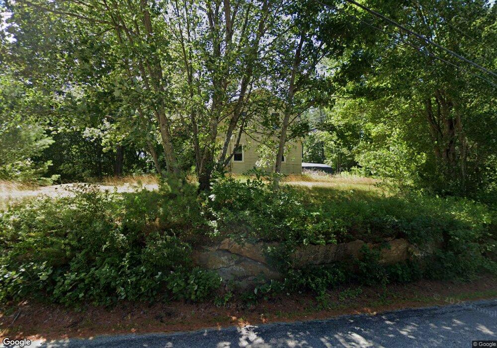
504 Stevens Mill Rd Auburn, ME 04210
Estimated Value: $238,000 - $322,000
3
Beds
1
Bath
1,256
Sq Ft
$230/Sq Ft
Est. Value
About This Home
This home is located at 504 Stevens Mill Rd, Auburn, ME 04210 and is currently estimated at $288,282, approximately $229 per square foot. 504 Stevens Mill Rd is a home located in Androscoggin County with nearby schools including Fairview School, Auburn Middle School, and Edward Little High School.
Ownership History
Date
Name
Owned For
Owner Type
Purchase Details
Closed on
Jul 27, 2012
Sold by
Blethen Robin
Bought by
Lucas April
Current Estimated Value
Purchase Details
Closed on
Jul 30, 2007
Sold by
Leighton Harry W
Bought by
Lucas April D and Blethen Robin
Home Financials for this Owner
Home Financials are based on the most recent Mortgage that was taken out on this home.
Original Mortgage
$145,860
Interest Rate
6.78%
Mortgage Type
Purchase Money Mortgage
Create a Home Valuation Report for This Property
The Home Valuation Report is an in-depth analysis detailing your home's value as well as a comparison with similar homes in the area
Home Values in the Area
Average Home Value in this Area
Purchase History
| Date | Buyer | Sale Price | Title Company |
|---|---|---|---|
| Lucas April | -- | -- | |
| Lucas April D | -- | -- |
Source: Public Records
Mortgage History
| Date | Status | Borrower | Loan Amount |
|---|---|---|---|
| Previous Owner | Lucas April D | $145,860 |
Source: Public Records
Tax History Compared to Growth
Tax History
| Year | Tax Paid | Tax Assessment Tax Assessment Total Assessment is a certain percentage of the fair market value that is determined by local assessors to be the total taxable value of land and additions on the property. | Land | Improvement |
|---|---|---|---|---|
| 2024 | $3,464 | $155,700 | $44,000 | $111,700 |
| 2023 | $3,149 | $138,400 | $39,100 | $99,300 |
| 2022 | $3,149 | $138,400 | $39,100 | $99,300 |
| 2021 | $2,751 | $115,500 | $32,600 | $82,900 |
| 2020 | $2,743 | $115,500 | $32,600 | $82,900 |
| 2019 | $2,743 | $115,500 | $32,600 | $82,900 |
| 2018 | $2,735 | $115,500 | $32,600 | $82,900 |
| 2017 | $2,191 | $115,300 | $32,500 | $82,800 |
| 2016 | $2,577 | $115,300 | $32,500 | $82,800 |
| 2015 | $2,238 | $115,300 | $32,500 | $82,800 |
| 2013 | -- | $115,300 | $32,500 | $82,800 |
Source: Public Records
Map
Nearby Homes
- 534 Stevens Mill Rd
- 535 Stevens Mill Rd
- 480 Stevens Mill Rd
- 236 Sunderland Dr
- 16 Boulder Dr
- 544 Stevens Mill Rd
- 284 Sunderland Dr
- 483 Stevens Mill Rd
- 20 Anita Ave
- 260 Sunderland Dr
- 464 Stevens Mill Rd
- 23 Anita Ave
- 212 Sunderland Dr
- 560 Stevens Mill Rd
- 239 Sunderland Dr
- 143 Garfield Rd
- 163 Garfield Rd
- 22 Boulder Dr
- 289 Sunderland Dr
- 255 Sunderland Dr