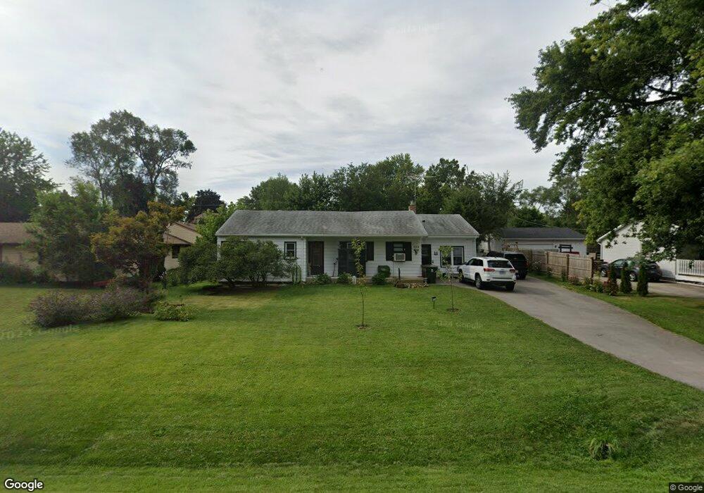
504 Thornton St Unit 1 Lockport, IL 60441
Estimated Value: $262,206 - $306,000
--
Bed
--
Bath
--
Sq Ft
0.28
Acres
About This Home
This home is located at 504 Thornton St Unit 1, Lockport, IL 60441 and is currently estimated at $293,552. 504 Thornton St Unit 1 is a home located in Will County with nearby schools including Milne Grove Elementary School, Kelvin Grove Jr High School, and Lockport Township High School East.
Ownership History
Date
Name
Owned For
Owner Type
Purchase Details
Closed on
Feb 4, 2000
Sold by
Costello Mark A and Costello Susan C
Bought by
Lavin Daniel P
Current Estimated Value
Home Financials for this Owner
Home Financials are based on the most recent Mortgage that was taken out on this home.
Original Mortgage
$83,500
Outstanding Balance
$27,441
Interest Rate
8.08%
Estimated Equity
$266,111
Create a Home Valuation Report for This Property
The Home Valuation Report is an in-depth analysis detailing your home's value as well as a comparison with similar homes in the area
Home Values in the Area
Average Home Value in this Area
Purchase History
| Date | Buyer | Sale Price | Title Company |
|---|---|---|---|
| Lavin Daniel P | $83,500 | Chicago Title Insurance Co |
Source: Public Records
Mortgage History
| Date | Status | Borrower | Loan Amount |
|---|---|---|---|
| Open | Lavin Daniel P | $83,500 |
Source: Public Records
Tax History Compared to Growth
Tax History
| Year | Tax Paid | Tax Assessment Tax Assessment Total Assessment is a certain percentage of the fair market value that is determined by local assessors to be the total taxable value of land and additions on the property. | Land | Improvement |
|---|---|---|---|---|
| 2024 | $5,151 | $85,736 | $25,875 | $59,861 |
| 2023 | $5,151 | $76,969 | $23,229 | $53,740 |
| 2022 | $4,190 | $68,326 | $20,622 | $47,704 |
| 2021 | $3,878 | $51,106 | $19,380 | $31,726 |
| 2020 | $3,773 | $49,426 | $18,743 | $30,683 |
| 2019 | $3,567 | $46,849 | $17,766 | $29,083 |
| 2018 | $3,487 | $45,047 | $17,083 | $27,964 |
| 2017 | $3,338 | $42,526 | $16,127 | $26,399 |
| 2016 | $3,174 | $39,855 | $15,114 | $24,741 |
| 2015 | $2,892 | $37,177 | $14,099 | $23,078 |
| 2014 | $2,892 | $34,745 | $13,177 | $21,568 |
| 2013 | $2,892 | $36,193 | $13,726 | $22,467 |
Source: Public Records
Map
Nearby Homes
- 613 Katherine St
- 207 Muehl Dr
- 134 S Jefferson St
- 540 E 4th St
- 613 E 3rd St Unit 4
- 1340 Lacoma Ct
- 219 S Washington St
- 1108 E 9th St
- 118 N State St
- 120 N State St
- 247 E North St
- 560 E 7th St
- 101 Market St
- 807 Valley Ln
- 800 Madison St Unit 2C
- 609 Oak St
- 317 Bonnie Dr
- 1102 E Treeline Dr
- 805 Maryknoll Dr
- 1006 S Jefferson St
- 629 Thornton St
- 502 Thornton St
- 604 E 1st St Unit 1
- 608 E 1st St
- 600 E 1st St
- 610 E 1st St Unit 1
- 235 N Briggs St
- 530 Thornton St
- 509 Thornton St
- 511 Thornton St
- 634 Thornton St
- 507 Thornton St
- 701 Thornton St Unit 1
- 700 E 1st St
- 605 E 1st St
- 601 E 1st St
- 505 Thornton St
- 607 E 1st St
- 703 Thornton St
- 702 E 1st St