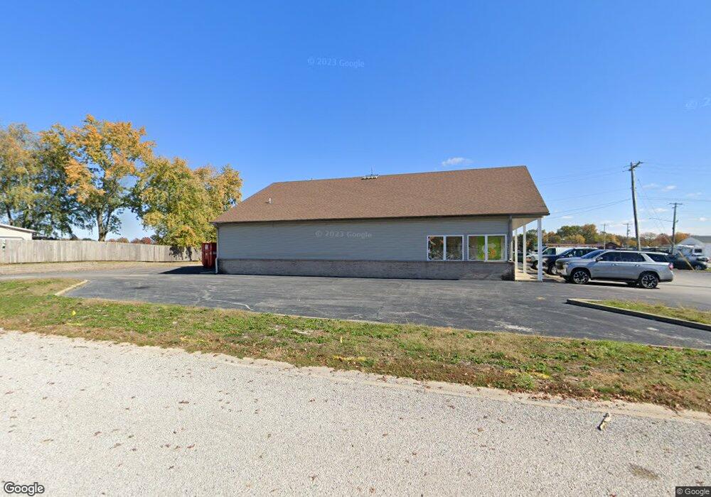
504 W Hanover St New Baden, IL 62265
Estimated Value: $368,099
--
Bed
--
Bath
3,600
Sq Ft
$102/Sq Ft
Est. Value
About This Home
This home is located at 504 W Hanover St, New Baden, IL 62265 and is currently estimated at $368,099, approximately $102 per square foot. 504 W Hanover St is a home located in St. Clair County with nearby schools including Mascoutah High School.
Ownership History
Date
Name
Owned For
Owner Type
Purchase Details
Closed on
Sep 28, 2023
Sold by
Bhutto Anwar H and Bhutto Rukhsana
Bought by
Ag 159 Llc
Current Estimated Value
Purchase Details
Closed on
Mar 21, 2001
Sold by
Boyce Tim A
Bought by
Bhutto Anwar H and Bhutto Rukhsana
Home Financials for this Owner
Home Financials are based on the most recent Mortgage that was taken out on this home.
Original Mortgage
$16,873
Interest Rate
9%
Mortgage Type
Purchase Money Mortgage
Create a Home Valuation Report for This Property
The Home Valuation Report is an in-depth analysis detailing your home's value as well as a comparison with similar homes in the area
Home Values in the Area
Average Home Value in this Area
Purchase History
| Date | Buyer | Sale Price | Title Company |
|---|---|---|---|
| Ag 159 Llc | $325,000 | None Available | |
| Bhutto Anwar H | $65,000 | Chicago Title |
Source: Public Records
Mortgage History
| Date | Status | Borrower | Loan Amount |
|---|---|---|---|
| Previous Owner | Bhutto Anwar H | $16,873 |
Source: Public Records
Tax History Compared to Growth
Tax History
| Year | Tax Paid | Tax Assessment Tax Assessment Total Assessment is a certain percentage of the fair market value that is determined by local assessors to be the total taxable value of land and additions on the property. | Land | Improvement |
|---|---|---|---|---|
| 2024 | $11,339 | $144,852 | $30,252 | $114,600 |
| 2023 | $10,930 | $132,382 | $27,648 | $104,734 |
| 2022 | $10,262 | $120,479 | $25,162 | $95,317 |
| 2021 | $8,036 | $94,348 | $24,957 | $69,391 |
| 2020 | $7,603 | $109,454 | $22,859 | $86,595 |
| 2019 | $9,406 | $109,454 | $22,859 | $86,595 |
| 2018 | $9,025 | $106,514 | $22,245 | $84,269 |
| 2017 | $7,620 | $86,528 | $23,792 | $62,736 |
| 2016 | $7,515 | $85,283 | $23,450 | $61,833 |
| 2014 | $9,139 | $115,506 | $22,914 | $92,592 |
| 2013 | $9,115 | $113,867 | $22,589 | $91,278 |
Source: Public Records
Map
Nearby Homes
- 91 Weatherholt Dr
- 308 W Indiana St
- 204 W Poos Dr
- 111 E Poos Dr
- 244 Walnut
- 228 Walnut
- 414 Turquoise Ct
- 304 S Washington St
- 307 W Peeples St
- 847 Topaz Ct
- 841 Topaz Ct
- 203 S Walnut St
- 660 W 3rd St
- 122 W 1st St
- 633 Moorland Cir
- 220 N Madison St
- 1117 Gulfstream Way
- 1125 Gulfstream Way
- 1204 Lear Ln
- 610 N Harrison St