5040 Highway 52 W Dahlonega, GA 30533
Estimated Value: $521,000 - $667,786
3
Beds
4
Baths
1,872
Sq Ft
$329/Sq Ft
Est. Value
About This Home
This home is located at 5040 Highway 52 W, Dahlonega, GA 30533 and is currently estimated at $615,262, approximately $328 per square foot. 5040 Highway 52 W is a home located in Lumpkin County with nearby schools including Lumpkin County High School.
Ownership History
Date
Name
Owned For
Owner Type
Purchase Details
Closed on
Nov 18, 2016
Sold by
Lori
Bought by
Lingerfelt Judy and Brooksher William Lawson
Current Estimated Value
Purchase Details
Closed on
Mar 29, 2007
Sold by
Not Provided
Bought by
Brooksher Lori and Brooksher William
Purchase Details
Closed on
Sep 5, 2001
Sold by
Calhoun Alma Executrix
Bought by
Calhoun Ronald
Purchase Details
Closed on
May 19, 1998
Bought by
Calhoun Ronald
Create a Home Valuation Report for This Property
The Home Valuation Report is an in-depth analysis detailing your home's value as well as a comparison with similar homes in the area
Home Values in the Area
Average Home Value in this Area
Purchase History
| Date | Buyer | Sale Price | Title Company |
|---|---|---|---|
| Lingerfelt Judy | -- | -- | |
| Brooksher Lori | -- | -- | |
| Brooksher Lori | -- | -- | |
| Calhoun Ronald | -- | -- | |
| Calhoun Ronald | -- | -- |
Source: Public Records
Tax History Compared to Growth
Tax History
| Year | Tax Paid | Tax Assessment Tax Assessment Total Assessment is a certain percentage of the fair market value that is determined by local assessors to be the total taxable value of land and additions on the property. | Land | Improvement |
|---|---|---|---|---|
| 2024 | $3,666 | $221,368 | $70,839 | $150,529 |
| 2023 | $3,074 | $201,350 | $59,958 | $141,392 |
| 2022 | $3,223 | $174,214 | $49,966 | $124,248 |
| 2021 | $2,769 | $152,318 | $49,966 | $102,352 |
| 2020 | $2,782 | $147,790 | $47,877 | $99,913 |
| 2019 | $2,805 | $147,790 | $47,877 | $99,913 |
| 2018 | $2,639 | $135,563 | $47,877 | $87,686 |
| 2017 | $2,416 | $126,168 | $47,877 | $78,291 |
| 2016 | $2,147 | $146,595 | $78,873 | $67,722 |
| 2015 | $1,905 | $146,596 | $78,873 | $67,722 |
| 2014 | $1,905 | $147,388 | $78,873 | $68,514 |
| 2013 | -- | $148,179 | $78,873 | $69,306 |
Source: Public Records
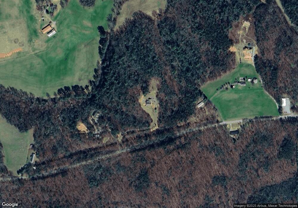
Map
Nearby Homes
- 0 Nimblewill Creek Rd Unit 7592435
- 0 Nimblewill Creek Rd Unit 10537541
- 0 Nimblewill Creek Rd Unit 10537492
- 0 Nimblewill Creek Rd Unit 7592523
- 687 Nimblewill Creek Rd
- 3A Patriot View Dr
- 61 Station Gap
- 1028 Jess Grizzle Rd
- 3050 Sheep Wallow Rd
- 604 Sheep Wallow Rd
- 155 Braeburn Ln
- 9 W Woods Ct
- 235 W Woods Dr
- 245 W Woods Dr
- 10 Strada Del Vino
- 1861 Mill Creek Rd
- 0 Via Senese Unit 10645153
- 0 Via Senese Unit 7682502
- 0 Strada Del Vino Unit 10
- 115 W Woods Dr
- 5044 Highway 52 W
- 4828 Georgia 52
- 4828 Highway 52 W
- 4785 Highway 52 W
- 4776 Highway 52 W
- 4712 Highway 52 W
- 5258 Highway 52 W
- 853 Nimblewill Church Rd
- 4698 Highway 52 W
- 487 Nimblewill Church Rd
- 650 Nimblewill Church Rd
- 382 Nimblewill Church Rd
- 508 Nimblewill Church Rd
- 0 Nimblewill Church Rd Unit 8331462
- 0 Nimblewill Church Rd Unit 7213159
- 0 Nimblewill Church Rd Unit 7301446
- 0 Nimblewill Church Rd Unit 7374524
- 0 Nimblewill Church Rd Unit 8192882
- 0 Nimblewill Church Rd Unit 5244308
- 0 Nimblewill Church Rd Unit 5316208