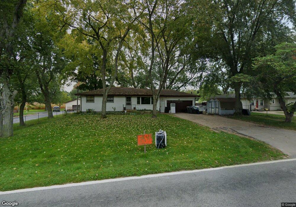
5040 N Branch Rd Benton Harbor, MI 49022
Millburg NeighborhoodEstimated Value: $170,405 - $205,000
3
Beds
1
Bath
1,176
Sq Ft
$158/Sq Ft
Est. Value
About This Home
This home is located at 5040 N Branch Rd, Benton Harbor, MI 49022 and is currently estimated at $186,351, approximately $158 per square foot. 5040 N Branch Rd is a home located in Berrien County with nearby schools including Fair Plain Middle School, Benton Harbor High School, and Grace Christian School.
Ownership History
Date
Name
Owned For
Owner Type
Purchase Details
Closed on
Mar 17, 2006
Sold by
Adams Peters Amy M
Bought by
Peters Andrew S
Current Estimated Value
Purchase Details
Closed on
Apr 16, 2003
Sold by
Olmsted Diana Lynn
Bought by
Peters Andrew S
Home Financials for this Owner
Home Financials are based on the most recent Mortgage that was taken out on this home.
Original Mortgage
$93,786
Interest Rate
5.71%
Mortgage Type
FHA
Purchase Details
Closed on
Oct 24, 1996
Purchase Details
Closed on
Aug 22, 1990
Create a Home Valuation Report for This Property
The Home Valuation Report is an in-depth analysis detailing your home's value as well as a comparison with similar homes in the area
Home Values in the Area
Average Home Value in this Area
Purchase History
| Date | Buyer | Sale Price | Title Company |
|---|---|---|---|
| Peters Andrew S | -- | None Available | |
| Peters Andrew S | $95,305 | -- | |
| Peters Alvina H | -- | -- | |
| -- | -- | -- | |
| -- | -- | -- |
Source: Public Records
Mortgage History
| Date | Status | Borrower | Loan Amount |
|---|---|---|---|
| Previous Owner | Peters Alvina H | $93,786 |
Source: Public Records
Tax History Compared to Growth
Tax History
| Year | Tax Paid | Tax Assessment Tax Assessment Total Assessment is a certain percentage of the fair market value that is determined by local assessors to be the total taxable value of land and additions on the property. | Land | Improvement |
|---|---|---|---|---|
| 2025 | $991 | $76,500 | $0 | $0 |
| 2024 | $761 | $74,800 | $0 | $0 |
| 2023 | $724 | $66,100 | $0 | $0 |
| 2022 | $690 | $58,700 | $0 | $0 |
| 2021 | $870 | $57,000 | $800 | $56,200 |
| 2020 | $859 | $51,000 | $0 | $0 |
| 2019 | $843 | $46,300 | $1,300 | $45,000 |
| 2018 | $828 | $46,300 | $0 | $0 |
| 2017 | $810 | $48,700 | $0 | $0 |
| 2016 | $779 | $42,500 | $0 | $0 |
| 2015 | $780 | $40,800 | $0 | $0 |
| 2014 | $582 | $39,600 | $0 | $0 |
Source: Public Records
Map
Nearby Homes
- 00 Stratton Lot 6 Rd
- 5253 Territorial Rd
- 5310 N Branch Rd
- 1287 Maner Rd
- 5570 Territorial Rd
- 4520 Ross Dr
- 4540 Ross Dr
- 1370 N Park Rd
- 4245 Echo Rd
- 4262 Arrow Wood Curve
- 4172 Pine Wood Dr
- 1360 Friday Rd
- 3547 N Blue Creek Rd
- 6808 Territorial Rd
- 6660 Pine Rd
- 846 N Benton Center Rd
- 1192 N Benton Center Rd
- 1226 N Benton Center Rd
- VL E Napier Ave
- 0 E Napier Ave
- 5050 Northbranch Rd
- 5006 Northbranch Rd
- 4999 N Branch Rd
- 4976 N Branch Rd
- 4938 N Branch Rd
- 4926 N Branch Rd
- 1.1A Pitcher Dr
- 3263 N M 63
- 314 Higman Park Rd
- 861 N Wells
- 2220 Roslyn Rd
- 468 Higman Park Rd
- 5388 Pipestone Rd
- 1345 St James
- 3080 St Joe River Dr
- 1000 Roslyn Rd
- 4438 Hartman Rd
- 1616 N M 63
- 3756 N M 63
- 3640 N M 63