Estimated Value: $1,125,095 - $1,387,000
3
Beds
3
Baths
3,718
Sq Ft
$347/Sq Ft
Est. Value
About This Home
This home is located at 5041 Coves, Afton, OK 74331 and is currently estimated at $1,289,774, approximately $346 per square foot. 5041 Coves is a home located in Delaware County with nearby schools including Ketchum Elementary School, Ketchum Middle School, and Ketchum High School.
Ownership History
Date
Name
Owned For
Owner Type
Purchase Details
Closed on
Mar 26, 2025
Sold by
Andrew William R and Andrew Darla
Bought by
William R And Darla Andrew Living Trust and Andrew
Current Estimated Value
Purchase Details
Closed on
Jun 15, 2020
Sold by
Herron Jerral W
Bought by
Andrew William R and Andrew Darla
Home Financials for this Owner
Home Financials are based on the most recent Mortgage that was taken out on this home.
Original Mortgage
$510,400
Interest Rate
3.2%
Mortgage Type
New Conventional
Purchase Details
Closed on
Jul 22, 1999
Sold by
Litle Lucille E Individually and Litle As
Purchase Details
Closed on
Mar 17, 1994
Sold by
Litle Willard A and Litle Lucille
Purchase Details
Closed on
Apr 13, 1992
Sold by
Coves Master Association, The
Purchase Details
Closed on
Apr 12, 1992
Sold by
Southern Property Owners Assoc
Create a Home Valuation Report for This Property
The Home Valuation Report is an in-depth analysis detailing your home's value as well as a comparison with similar homes in the area
Purchase History
| Date | Buyer | Sale Price | Title Company |
|---|---|---|---|
| William R And Darla Andrew Living Trust | -- | None Listed On Document | |
| William R And Darla Andrew Living Trust | -- | None Listed On Document | |
| Andrew William R | $815,000 | First American Title Ins Co | |
| -- | -- | -- | |
| -- | -- | -- | |
| -- | -- | -- | |
| -- | -- | -- |
Source: Public Records
Mortgage History
| Date | Status | Borrower | Loan Amount |
|---|---|---|---|
| Previous Owner | Andrew William R | $510,400 |
Source: Public Records
Tax History
| Year | Tax Paid | Tax Assessment Tax Assessment Total Assessment is a certain percentage of the fair market value that is determined by local assessors to be the total taxable value of land and additions on the property. | Land | Improvement |
|---|---|---|---|---|
| 2025 | $8,284 | $102,415 | $18,828 | $83,587 |
| 2024 | $80 | $99,433 | $18,280 | $81,153 |
| 2023 | $7,952 | $96,536 | $17,958 | $78,578 |
| 2022 | $7,718 | $93,725 | $17,958 | $75,767 |
| 2021 | $7,771 | $93,725 | $17,958 | $75,767 |
| 2020 | $7,786 | $103,493 | $17,958 | $85,535 |
| 2019 | $7,444 | $87,433 | $17,958 | $69,475 |
| 2018 | $7,511 | $87,433 | $18,246 | $69,187 |
| 2017 | $7,594 | $87,433 | $18,246 | $69,187 |
| 2016 | $6,903 | $83,413 | $17,407 | $66,006 |
| 2015 | $6,205 | $83,413 | $17,407 | $66,006 |
| 2014 | $6,205 | $83,413 | $18,246 | $65,167 |
Source: Public Records
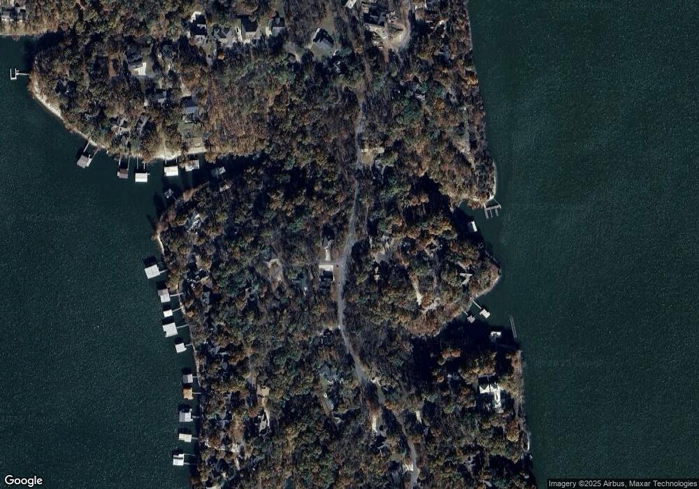
Map
Nearby Homes
- 34206 Osprey Rd
- 451792 Black Hawk Cir
- 0 Black Hawk Cir
- 451648 S 451648 Black Hawk Cir S
- 0 Lot 36 Blk 2 Pheasant Cir
- 451403 Pheasant Cir
- 451464 Cir
- 33872 S Coves Dr
- 451354 Pheasant Ln
- 0 Pheasant Cir Unit 25-2070
- 0 Lot 22 Blk 2 Coves
- 0 Lot 23 Blk 2 Coves
- 451300 Pheasant Ln
- 450779 E 341 Rd Unit 52
- 450779 E 341 Rd Unit 50
- 450779 E 341 Rd Unit 26
- 450779 E 341 Rd Unit 56
- 33689 Spruce Grouse Ln
- 0 S Coves Dr Unit 2516517
- 33765 S Coves Dr
- 5001 Coves
- 4045 Coves
- 4009 Coves
- 1112 Coves
- 451571 Falcon Ln
- 451545 Gyrfalcon Cir
- 451596 Falcon Ln
- 451609 Falcon Ln
- 451573 Buzzard Bluff
- 1070 S Coves Dr
- 1029 Coves
- 22 Falcon Ln
- 123 Buzzard Bluff
- 451625 Falcon Ln
- 451527 Sparrow Hawk Cir
- 451609 Buzzard Bluff
- 34323 S Coves Dr
- 34320 S Coves Dr
- 2302 Gyrfalcon Cir
- 34556 S Coves Dr
Your Personal Tour Guide
Ask me questions while you tour the home.