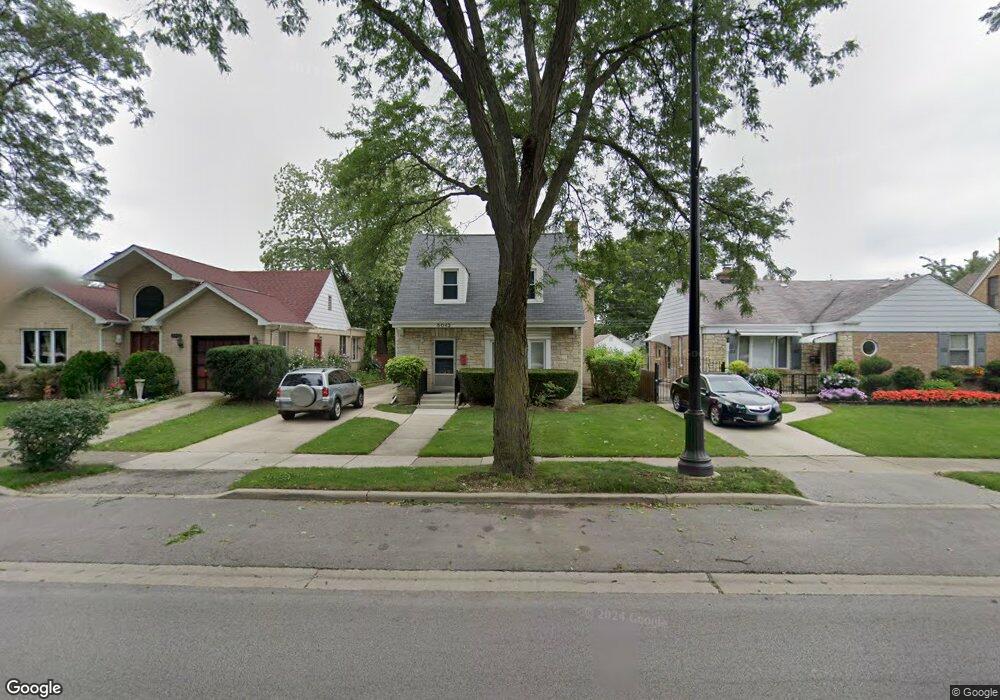
5042 Pratt Ave Skokie, IL 60077
Southwest Skokie NeighborhoodEstimated Value: $615,000 - $682,000
4
Beds
3
Baths
2,864
Sq Ft
$221/Sq Ft
Est. Value
About This Home
This home is located at 5042 Pratt Ave, Skokie, IL 60077 and is currently estimated at $633,617, approximately $221 per square foot. 5042 Pratt Ave is a home located in Cook County with nearby schools including Fairview South Elementary School, Niles West High School, and Hillel Torah North Suburban Day School.
Ownership History
Date
Name
Owned For
Owner Type
Purchase Details
Closed on
Nov 22, 1996
Sold by
Riordan Thomas P and Pepe Karen M
Bought by
Mussari Philip and Mussari Christine M
Current Estimated Value
Home Financials for this Owner
Home Financials are based on the most recent Mortgage that was taken out on this home.
Original Mortgage
$153,000
Interest Rate
7.94%
Mortgage Type
Balloon
Create a Home Valuation Report for This Property
The Home Valuation Report is an in-depth analysis detailing your home's value as well as a comparison with similar homes in the area
Home Values in the Area
Average Home Value in this Area
Purchase History
| Date | Buyer | Sale Price | Title Company |
|---|---|---|---|
| Mussari Philip | $170,000 | -- |
Source: Public Records
Mortgage History
| Date | Status | Borrower | Loan Amount |
|---|---|---|---|
| Closed | Mussari Philip | $153,000 |
Source: Public Records
Tax History Compared to Growth
Tax History
| Year | Tax Paid | Tax Assessment Tax Assessment Total Assessment is a certain percentage of the fair market value that is determined by local assessors to be the total taxable value of land and additions on the property. | Land | Improvement |
|---|---|---|---|---|
| 2024 | $9,949 | $46,050 | $7,986 | $38,064 |
| 2023 | $10,520 | $46,050 | $7,986 | $38,064 |
| 2022 | $10,520 | $49,944 | $7,986 | $41,958 |
| 2021 | $8,972 | $38,583 | $5,704 | $32,879 |
| 2020 | $8,638 | $38,583 | $5,704 | $32,879 |
| 2019 | $10,098 | $48,580 | $5,704 | $42,876 |
| 2018 | $10,888 | $47,209 | $4,991 | $42,218 |
| 2017 | $11,181 | $47,209 | $4,991 | $42,218 |
| 2016 | $11,332 | $50,001 | $4,991 | $45,010 |
| 2015 | $8,704 | $36,711 | $4,278 | $32,433 |
| 2014 | $8,430 | $36,711 | $4,278 | $32,433 |
| 2013 | $8,544 | $36,711 | $4,278 | $32,433 |
Source: Public Records
Map
Nearby Homes
- 6739 N Leroy Ave
- 6741 N Ramona Ave
- 5148 Coyle Ave
- 4900 Morse Ave
- 6709 N Ramona Ave
- 5255 Coyle Ave
- 6725 N Cicero Ave
- 6612 N Ramona Ave
- 5332 Fairview Ln
- 6425 N Tower Ct
- 5446 W Lunt Ave
- 6835 N Waukesha Ave
- 6857 N Knox Ave
- 7100 N Keating Ave
- 6400 N Cicero Ave Unit 410
- 6400 N Cicero Ave Unit 213
- 6400 N Cicero Ave Unit 309
- 6339 N Leona Ave
- 6923 N Chicora Ave
- 6644 N Kenton Ave
- 5046 Pratt Ave
- 5038 Pratt Ave
- 5050 Pratt Ave
- 5030 Pratt Ave
- 5056 Pratt Ave
- 5041 Farwell Ave
- 5047 Farwell Ave
- 5037 Farwell Ave
- 5051 Farwell Ave
- 5033 Farwell Ave
- 5020 Pratt Ave
- 5057 Farwell Ave
- 5027 Farwell Ave
- 6757 N Navajo Ave
- 5018 Pratt Ave
- 5018 Pratt Ave
- 5139 Pratt Ave
- 5023 Farwell Ave
- 6800 Le Claire Ave
- 6820 Le Claire Ave