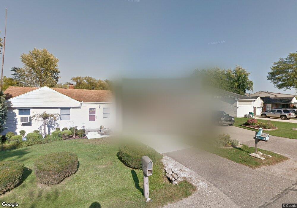
50426 Lagae St New Baltimore, MI 48047
Estimated Value: $278,499 - $338,000
--
Bed
2
Baths
1,305
Sq Ft
$234/Sq Ft
Est. Value
About This Home
This home is located at 50426 Lagae St, New Baltimore, MI 48047 and is currently estimated at $304,875, approximately $233 per square foot. 50426 Lagae St is a home located in Macomb County with nearby schools including Lighthouse Elementary School, Anchor Bay Middle School North, and Anchor Bay High School.
Ownership History
Date
Name
Owned For
Owner Type
Purchase Details
Closed on
Jan 17, 2025
Sold by
Ede James M
Bought by
Ede James M and Ede Anna
Current Estimated Value
Purchase Details
Closed on
Mar 11, 2013
Sold by
Ede James M and Ede James M
Bought by
Ede James M
Purchase Details
Closed on
Apr 23, 1996
Sold by
Perrin J and Perrin G
Bought by
Ede J and Ede T
Purchase Details
Closed on
Nov 3, 1994
Sold by
Perrin Rita M
Bought by
Perrin James L and Perrin Gloria
Create a Home Valuation Report for This Property
The Home Valuation Report is an in-depth analysis detailing your home's value as well as a comparison with similar homes in the area
Home Values in the Area
Average Home Value in this Area
Purchase History
| Date | Buyer | Sale Price | Title Company |
|---|---|---|---|
| Ede James M | -- | None Listed On Document | |
| Ede James M | -- | None Available | |
| Ede J | $139,499 | -- | |
| Perrin James L | $100,000 | -- |
Source: Public Records
Mortgage History
| Date | Status | Borrower | Loan Amount |
|---|---|---|---|
| Closed | Perrin James L | $0 |
Source: Public Records
Tax History Compared to Growth
Tax History
| Year | Tax Paid | Tax Assessment Tax Assessment Total Assessment is a certain percentage of the fair market value that is determined by local assessors to be the total taxable value of land and additions on the property. | Land | Improvement |
|---|---|---|---|---|
| 2025 | $2,619 | $130,100 | $0 | $0 |
| 2024 | $2,187 | $118,800 | $0 | $0 |
| 2023 | $2,077 | $100,600 | $0 | $0 |
| 2022 | $2,369 | $93,900 | $0 | $0 |
| 2021 | $2,281 | $90,300 | $0 | $0 |
| 2020 | $1,922 | $85,900 | $0 | $0 |
| 2019 | $2,173 | $80,800 | $0 | $0 |
| 2018 | $2,131 | $70,300 | $0 | $0 |
| 2017 | $2,126 | $68,600 | $22,300 | $46,300 |
| 2016 | $2,110 | $68,600 | $0 | $0 |
| 2015 | -- | $65,600 | $0 | $0 |
| 2014 | -- | $54,400 | $0 | $0 |
Source: Public Records
Map
Nearby Homes
- 10364 Bonaparte Ct
- 38292 Murdick Dr
- 38204 Main St
- 38199 Murdick Dr
- 38088 Main St
- 50591 Walpole St
- 10200 Dixie Hwy
- 50627 Elsey St
- 10043 Dixie Hwy
- 10049 Dixie Hwy
- 9608 Stoneypointe Dr Unit 129
- 9965 Dixie Hwy
- 53185 Woodland Dr
- 53214 Woodland Dr
- 9861 Dixie Hwy
- 9386 Starboard Dr
- 37095 Highview St
- 6700 Bethuy Rd
- 6950 Church Rd
- 9669 Dixie Hwy