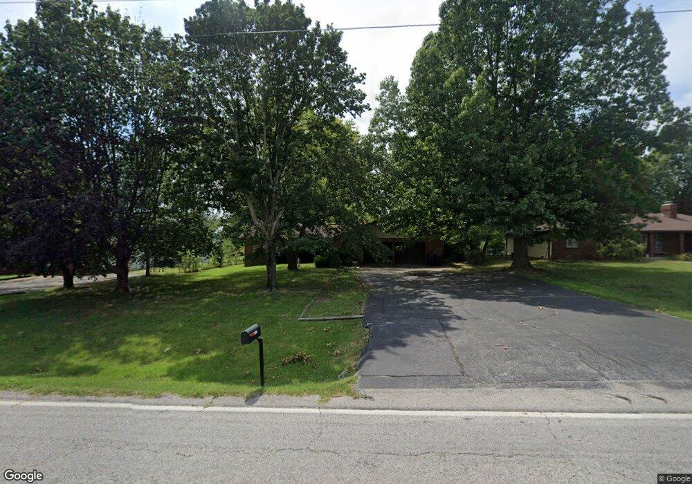
5043 S State Highway Ff Battlefield, MO 65619
Estimated Value: $265,000 - $304,000
3
Beds
2
Baths
1,908
Sq Ft
$150/Sq Ft
Est. Value
About This Home
This home is located at 5043 S State Highway Ff, Battlefield, MO 65619 and is currently estimated at $285,554, approximately $149 per square foot. 5043 S State Highway Ff is a home located in Greene County with nearby schools including McBride Elementary School, Wilson's Creek Intermediate School, and Cherokee Middle School.
Ownership History
Date
Name
Owned For
Owner Type
Purchase Details
Closed on
Dec 26, 2019
Sold by
Allen Joyce L and Robert T Allen And Joyce L All
Bought by
Allen Joyce L and Gilbert Rhonda
Current Estimated Value
Home Financials for this Owner
Home Financials are based on the most recent Mortgage that was taken out on this home.
Original Mortgage
$122,100
Interest Rate
4.4%
Mortgage Type
FHA
Create a Home Valuation Report for This Property
The Home Valuation Report is an in-depth analysis detailing your home's value as well as a comparison with similar homes in the area
Home Values in the Area
Average Home Value in this Area
Purchase History
| Date | Buyer | Sale Price | Title Company |
|---|---|---|---|
| Allen Joyce L | -- | None Available |
Source: Public Records
Mortgage History
| Date | Status | Borrower | Loan Amount |
|---|---|---|---|
| Closed | Allen Joyce L | $122,100 |
Source: Public Records
Tax History Compared to Growth
Tax History
| Year | Tax Paid | Tax Assessment Tax Assessment Total Assessment is a certain percentage of the fair market value that is determined by local assessors to be the total taxable value of land and additions on the property. | Land | Improvement |
|---|---|---|---|---|
| 2025 | $2,083 | $38,550 | $5,700 | $32,850 |
| 2024 | $1,965 | $33,780 | $4,750 | $29,030 |
| 2023 | $1,955 | $33,780 | $4,750 | $29,030 |
| 2022 | $1,586 | $27,890 | $4,750 | $23,140 |
| 2021 | $1,585 | $27,890 | $4,750 | $23,140 |
| 2020 | $1,549 | $25,860 | $4,750 | $21,110 |
| 2019 | $1,505 | $25,860 | $4,750 | $21,110 |
| 2018 | $1,462 | $24,990 | $4,180 | $20,810 |
| 2017 | $1,447 | $22,650 | $4,180 | $18,470 |
| 2016 | $1,316 | $22,650 | $4,180 | $18,470 |
| 2015 | $1,305 | $22,650 | $4,180 | $18,470 |
| 2014 | $1,313 | $22,610 | $4,180 | $18,430 |
Source: Public Records
Map
Nearby Homes
- 000 West Bypass
- 5141 S Tamarack Ln
- 5147 S Tamarack Ln
- 5237 Logan Dr
- 5214 S Logan Dr
- 6110 S Ivey Ln Unit Lot 156
- 4351 W Roxie St
- 5243 Logan Dr
- 5255 Logan Dr
- 4345 W Roxie St
- 5267 Logan Dr
- 4141 W Ridgeview St
- 4362 W Weaver Rd
- 5208 S April Ct
- 5253 S Morgan Ave
- 5259 S Morgan Ave
- 5207 S April Ct
- 4359 W Walker St
- 5205 S Morgan Ave
- 5217 S Morgan Ave
- 5041 S State Highway Ff
- 5041 West Bypass
- 5145 S State Highway Ff
- 5155 S State Highway Ff
- 5033 S State Highway Ff
- 5544 West Bypass
- 0 S State Highway Ff Unit 10824452
- 0 S State Highway Ff Unit 10903639
- 0 S State Highway Ff Unit 10824453
- 0 S State Highway Ff Unit 10918138
- 0 S State Highway Ff Unit 11001706
- 0 S State Highway Ff Unit 11008564
- 0 S State Highway Ff Unit 11013026
- 0 S State Highway Ff Unit 11019552
- 0 S State Highway Ff Unit 11201025
- 0 S State Highway Ff Unit 11301481
- 0 S State Highway Ff Unit 60020571
- Tbd S State Highway Ff
- 6159 S State Highway Ff
- 4440 S State Highway Ff