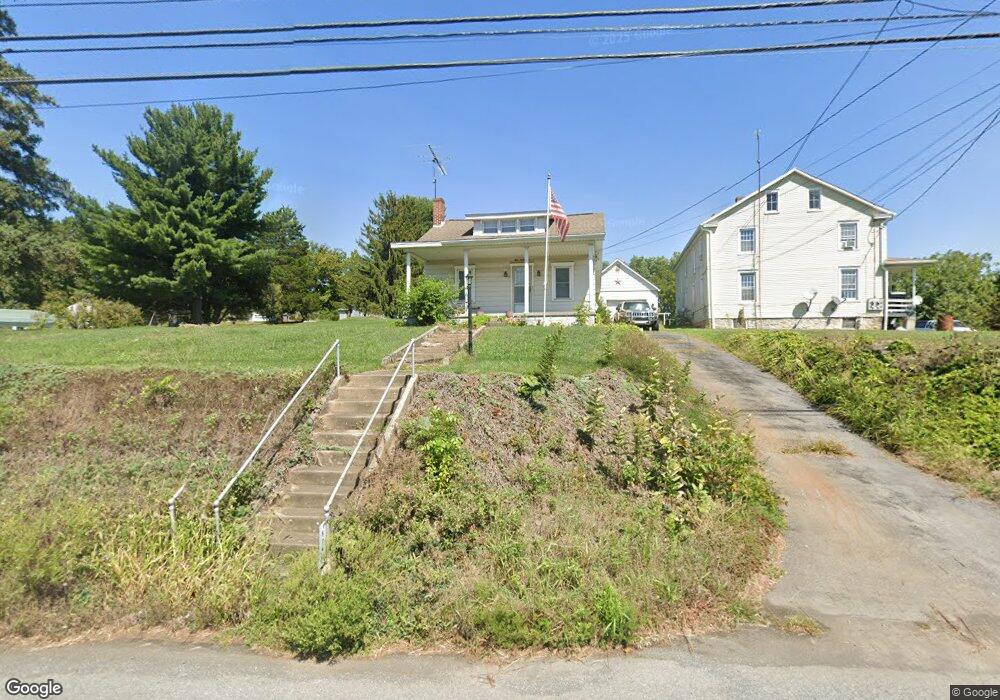
5045 Buchanan Trail E Zullinger, PA 17272
Estimated Value: $245,459 - $259,000
--
Bed
--
Bath
1,458
Sq Ft
$174/Sq Ft
Est. Value
About This Home
This home is located at 5045 Buchanan Trail E, Zullinger, PA 17272 and is currently estimated at $253,865, approximately $174 per square foot. 5045 Buchanan Trail E is a home with nearby schools including Waynesboro Area Senior High School, St. Andrew Catholic School, and Noah's Ark Christian Child Care Center.
Ownership History
Date
Name
Owned For
Owner Type
Purchase Details
Closed on
Oct 4, 2019
Sold by
Stilts Kenneth F and Stilts Alice E
Bought by
Crouse Robert Wesley
Current Estimated Value
Home Financials for this Owner
Home Financials are based on the most recent Mortgage that was taken out on this home.
Original Mortgage
$155,200
Interest Rate
3.5%
Mortgage Type
New Conventional
Create a Home Valuation Report for This Property
The Home Valuation Report is an in-depth analysis detailing your home's value as well as a comparison with similar homes in the area
Home Values in the Area
Average Home Value in this Area
Purchase History
| Date | Buyer | Sale Price | Title Company |
|---|---|---|---|
| Crouse Robert Wesley | $160,000 | Buchabab Settlement Services |
Source: Public Records
Mortgage History
| Date | Status | Borrower | Loan Amount |
|---|---|---|---|
| Previous Owner | Crouse Robert Wesley | $155,200 |
Source: Public Records
Tax History Compared to Growth
Tax History
| Year | Tax Paid | Tax Assessment Tax Assessment Total Assessment is a certain percentage of the fair market value that is determined by local assessors to be the total taxable value of land and additions on the property. | Land | Improvement |
|---|---|---|---|---|
| 2025 | $3,003 | $19,550 | $1,350 | $18,200 |
| 2024 | $2,915 | $19,550 | $1,350 | $18,200 |
| 2023 | $2,829 | $19,550 | $1,350 | $18,200 |
| 2022 | $2,745 | $19,550 | $1,350 | $18,200 |
| 2021 | $2,667 | $19,550 | $1,350 | $18,200 |
| 2020 | $2,626 | $19,550 | $1,350 | $18,200 |
| 2019 | $2,567 | $19,550 | $1,350 | $18,200 |
| 2018 | $2,484 | $19,550 | $1,350 | $18,200 |
| 2017 | $868 | $6,980 | $1,350 | $5,630 |
| 2016 | $200 | $6,980 | $1,350 | $5,630 |
| 2015 | $186 | $6,980 | $1,350 | $5,630 |
| 2014 | $186 | $6,980 | $1,350 | $5,630 |
Source: Public Records
Map
Nearby Homes
- 12152 Red Hawk Dr
- 4798 Gray Hawk Dr Unit 17
- 5377 Harrier Way
- 5385 Harrier Way
- TBD Whippet Trail
- TBD Harrier Way
- 12041 Koons Rd
- 4594 Salem Church Rd
- 6287 Marsh Rd
- 6668 Marsh Rd
- 607 Chicory Spring Ct
- 462 Scott Ave Unit 4
- 217 Fairview Ave
- 417 Fairview Ave
- 105 Fairview Ave
- 0 Westview Ave
- 220 Cleveland Ave
- 130 Hamilton Ave
- 208 Hamilton Ave
- 5060 Buchanan Trail E
- 5021 Buchanan Trail E
- 5005 Buchanan Trail E
- 4981 Buchanan Trail E
- 11900 Village Heights Dr
- 11890 Village Heights Dr
- 11880 Village Heights Dr
- 12004 Polktown Rd
- 11905 Village Heights Dr
- 11870 Village Heights Dr
- 11895 Village Heights Dr
- 11860 Village Heights Dr
- 12034 Polktown Rd
- 11870 Mutual Dr
- 11875 Village Heights Dr
- 11850 Village Heights Dr
- 4847 Buchanan Trail E
- 4880 Buchanan Trail E
- 11865 Village Heights Dr
- 11840 Village Heights Dr