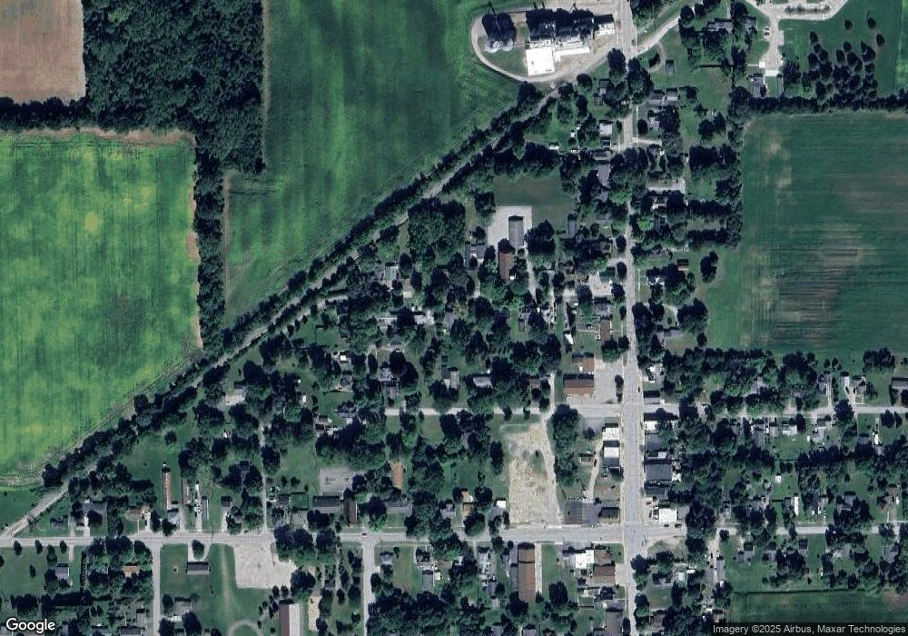
5045 Maple St Fairgrove, MI 48733
Estimated Value: $130,013 - $156,000
3
Beds
1
Bath
1,100
Sq Ft
$126/Sq Ft
Est. Value
About This Home
This home is located at 5045 Maple St, Fairgrove, MI 48733 and is currently estimated at $139,003, approximately $126 per square foot. 5045 Maple St is a home located in Tuscola County with nearby schools including Akron-Fairgrove Elementary School and Akron-Fairgrove Junior/Senior High School.
Ownership History
Date
Name
Owned For
Owner Type
Purchase Details
Closed on
Aug 5, 2021
Sold by
Priestley Peggy and Priestley Chris
Bought by
Messing Ryan
Current Estimated Value
Home Financials for this Owner
Home Financials are based on the most recent Mortgage that was taken out on this home.
Original Mortgage
$72,000
Outstanding Balance
$65,568
Interest Rate
3%
Mortgage Type
New Conventional
Estimated Equity
$73,435
Purchase Details
Closed on
Dec 10, 2019
Sold by
Fhlm
Bought by
Priestley Peggy and Priestley Chris
Purchase Details
Closed on
Feb 14, 2019
Sold by
Burnham James
Bought by
Fhlm
Purchase Details
Closed on
Feb 7, 2019
Sold by
Burnham James
Bought by
Southwest Michigan Asset
Create a Home Valuation Report for This Property
The Home Valuation Report is an in-depth analysis detailing your home's value as well as a comparison with similar homes in the area
Home Values in the Area
Average Home Value in this Area
Purchase History
| Date | Buyer | Sale Price | Title Company |
|---|---|---|---|
| Messing Ryan | $90,000 | None Available | |
| Priestley Peggy | $18,200 | None Available | |
| Fhlm | $29,250 | -- | |
| Southwest Michigan Asset | $500 | -- |
Source: Public Records
Mortgage History
| Date | Status | Borrower | Loan Amount |
|---|---|---|---|
| Open | Messing Ryan | $72,000 |
Source: Public Records
Tax History Compared to Growth
Tax History
| Year | Tax Paid | Tax Assessment Tax Assessment Total Assessment is a certain percentage of the fair market value that is determined by local assessors to be the total taxable value of land and additions on the property. | Land | Improvement |
|---|---|---|---|---|
| 2025 | $2,137 | $60,600 | $0 | $0 |
| 2024 | $2,137 | $59,400 | $0 | $0 |
| 2023 | $1,322 | $59,300 | $0 | $0 |
| 2022 | $1,976 | $47,000 | $0 | $0 |
| 2021 | $1,334 | $35,700 | $0 | $0 |
| 2020 | $1,781 | $30,900 | $0 | $0 |
| 2019 | $662 | $29,800 | $0 | $0 |
| 2018 | $1,046 | $23,600 | $0 | $0 |
| 2017 | $1,151 | $26,200 | $0 | $0 |
| 2016 | $1,292 | $32,700 | $0 | $0 |
| 2015 | $7 | $33,000 | $0 | $0 |
| 2014 | $7 | $32,400 | $0 | $0 |
| 2013 | $7 | $31,500 | $0 | $0 |
Source: Public Records
Map
Nearby Homes
- 5060 Armstrong Ave
- 2643 N Kirk Rd
- 3685 Main St
- 4284 North St
- 3752 Main St
- 7980 W Gilford Rd
- 75 S Bradleyville Rd
- 2016 S Vassar Rd
- 4027 W Caro Rd
- 6095 Caro Rd
- 1997 S Garner Rd
- 1920 French Rd
- 2643 S Ringle Rd
- 0 Dixon Rd
- 1565 Parkway Dr
- V/L W Caro Rd
- 3177 N Van Buren Rd
- 17 N Hooper St
- 2491 W Dickerson Rd
- 1850 S Quanicassee Rd
- 5035 Maple St
- 5065 Maple St
- 5029 Maple St
- 5073 Maple St
- 5046 Poplar St
- 5066 Poplar St
- 5018 Maple St
- 5056 Poplar St
- 5070 Maple St
- 2095 N Main St
- 5082 Maple St
- 2087 N Main St
- 5089 Maple St
- 0 Parcel #5 Bradford Lake Unit 913971
- 2117 N Main St
- 2068 Liberty St
- 5059 Poplar St
- 5094 Maple St
- 2060 Liberty St
- 2129 N Main St
