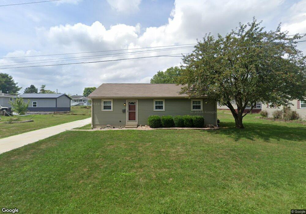
5046 Cook Rd South Bloomfield, OH 43103
Estimated Value: $245,762 - $289,000
3
Beds
1
Bath
1,120
Sq Ft
$232/Sq Ft
Est. Value
About This Home
This home is located at 5046 Cook Rd, South Bloomfield, OH 43103 and is currently estimated at $259,941, approximately $232 per square foot. 5046 Cook Rd is a home located in Pickaway County.
Ownership History
Date
Name
Owned For
Owner Type
Purchase Details
Closed on
Sep 23, 1996
Sold by
Dixon Deborah S
Bought by
Mayo William M and Mayo Denise D
Current Estimated Value
Home Financials for this Owner
Home Financials are based on the most recent Mortgage that was taken out on this home.
Original Mortgage
$65,600
Outstanding Balance
$5,499
Interest Rate
7.93%
Mortgage Type
New Conventional
Estimated Equity
$254,442
Purchase Details
Closed on
Sep 13, 1993
Sold by
Bache Ben F
Bought by
Edwards Deborah S
Purchase Details
Closed on
Sep 1, 1986
Purchase Details
Closed on
Apr 1, 1986
Create a Home Valuation Report for This Property
The Home Valuation Report is an in-depth analysis detailing your home's value as well as a comparison with similar homes in the area
Home Values in the Area
Average Home Value in this Area
Purchase History
| Date | Buyer | Sale Price | Title Company |
|---|---|---|---|
| Mayo William M | $82,000 | -- | |
| Edwards Deborah S | $64,000 | -- | |
| -- | $44,000 | -- | |
| -- | $7,500 | -- |
Source: Public Records
Mortgage History
| Date | Status | Borrower | Loan Amount |
|---|---|---|---|
| Open | Mayo William M | $65,600 |
Source: Public Records
Tax History Compared to Growth
Tax History
| Year | Tax Paid | Tax Assessment Tax Assessment Total Assessment is a certain percentage of the fair market value that is determined by local assessors to be the total taxable value of land and additions on the property. | Land | Improvement |
|---|---|---|---|---|
| 2024 | -- | $56,390 | $9,030 | $47,360 |
| 2023 | $2,162 | $56,390 | $9,030 | $47,360 |
| 2022 | $1,754 | $42,150 | $7,530 | $34,620 |
| 2021 | $1,661 | $42,150 | $7,530 | $34,620 |
| 2020 | $1,665 | $42,150 | $7,530 | $34,620 |
| 2019 | $1,404 | $34,970 | $7,530 | $27,440 |
| 2018 | $1,442 | $34,970 | $7,530 | $27,440 |
| 2017 | $1,897 | $34,970 | $7,530 | $27,440 |
| 2016 | $1,389 | $32,710 | $7,440 | $25,270 |
| 2015 | $1,390 | $32,710 | $7,440 | $25,270 |
| 2014 | $1,391 | $32,710 | $7,440 | $25,270 |
| 2013 | $1,447 | $32,870 | $7,440 | $25,430 |
Source: Public Records
Map
Nearby Homes
- 5049 Lee Rd
- 0 U S 23
- 5050 S Walnut St
- 5069 Ashville Rd
- 14337 Us Highway 23
- 14337 Us Highway 23
- The Daffodil Plan at Riverbend at Scioto Landing
- The Daisy Plan at Riverbend at Scioto Landing
- The Avalon Plan at Riverbend at Scioto Landing
- The Aster Plan at Riverbend at Scioto Landing
- 51 Henderson Ln
- 127 Boutot St
- Aspire Plan at Bloomfield Hills
- Hampton Plan at Bloomfield Hills
- Mitchell Plan at Bloomfield Hills
- Crisfield Plan at Bloomfield Hills
- Sereneda Plan at Bloomfield Hills
- Oakdale Plan at Bloomfield Hills
- Longwood Plan at Walker Pointe
- Birmingham Plan at Walker Pointe