5046 W Deer Path Trail Coeur D Alene, ID 83814
Estimated Value: $1,332,349 - $3,140,000
4
Beds
4
Baths
4,250
Sq Ft
$473/Sq Ft
Est. Value
About This Home
This home is located at 5046 W Deer Path Trail, Coeur D Alene, ID 83814 and is currently estimated at $2,009,837, approximately $472 per square foot. 5046 W Deer Path Trail is a home located in Kootenai County with nearby schools including Winton Elementary School, Lakes Magnet Middle School, and Lake City High School.
Ownership History
Date
Name
Owned For
Owner Type
Purchase Details
Closed on
Sep 10, 2025
Sold by
Hosford Donald B
Bought by
Hosford Donald B
Current Estimated Value
Purchase Details
Closed on
Apr 12, 2022
Sold by
Hosford Donald B and Hosford Anna
Bought by
Hosford Donald B
Home Financials for this Owner
Home Financials are based on the most recent Mortgage that was taken out on this home.
Original Mortgage
$163,500
Interest Rate
3.09%
Mortgage Type
New Conventional
Purchase Details
Closed on
Dec 22, 2009
Sold by
Hosford Donald B
Bought by
Hosford Donald B
Home Financials for this Owner
Home Financials are based on the most recent Mortgage that was taken out on this home.
Original Mortgage
$415,000
Interest Rate
4.88%
Mortgage Type
New Conventional
Purchase Details
Closed on
Dec 15, 2005
Sold by
Hosford Heather C
Bought by
Hosford Donald B
Create a Home Valuation Report for This Property
The Home Valuation Report is an in-depth analysis detailing your home's value as well as a comparison with similar homes in the area
Home Values in the Area
Average Home Value in this Area
Purchase History
| Date | Buyer | Sale Price | Title Company |
|---|---|---|---|
| Hosford Donald B | -- | None Listed On Document | |
| Hosford Donald B | -- | None Listed On Document | |
| Hosford Donald B | -- | -- | |
| Hosford Donald B | -- | -- |
Source: Public Records
Mortgage History
| Date | Status | Borrower | Loan Amount |
|---|---|---|---|
| Previous Owner | Hosford Donald B | $163,500 | |
| Previous Owner | Hosford Donald B | $415,000 |
Source: Public Records
Tax History Compared to Growth
Tax History
| Year | Tax Paid | Tax Assessment Tax Assessment Total Assessment is a certain percentage of the fair market value that is determined by local assessors to be the total taxable value of land and additions on the property. | Land | Improvement |
|---|---|---|---|---|
| 2025 | $2,812 | $916,443 | $301,473 | $614,970 |
| 2024 | $2,812 | $910,886 | $294,046 | $616,840 |
| 2023 | $2,812 | $926,240 | $309,400 | $616,840 |
| 2022 | $2,943 | $898,204 | $281,364 | $616,840 |
| 2021 | $3,116 | $622,489 | $163,919 | $458,570 |
| 2020 | $3,062 | $527,054 | $126,564 | $400,490 |
| 2019 | $2,960 | $482,022 | $103,832 | $378,190 |
| 2018 | $2,963 | $446,377 | $98,887 | $347,490 |
| 2017 | $2,935 | $476,994 | $141,364 | $335,630 |
| 2016 | $2,828 | $442,204 | $122,924 | $319,280 |
| 2015 | $2,870 | $364,109 | $44,749 | $319,360 |
| 2013 | $2,470 | $361,777 | $102,667 | $259,110 |
Source: Public Records
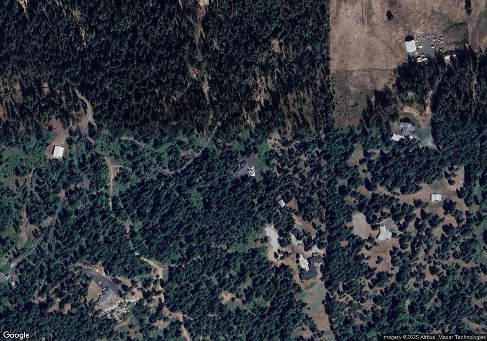
Map
Nearby Homes
- 4557 W Mica Shore Rd
- L11 & L12 W Mica Shore Rd
- 7104 W Kidd Island Rd
- 1755 W Valhalla Rd
- 1753 W Valhalla Rd
- 1751 W Valhalla Rd
- NNA S Renaissance Way
- NNA Lot 6 S Renaissance Way
- NNA Double Tree Ln
- 6232 W Quaking Aspen Dr
- 5340 W Hull Loop
- NKA Hwy 95 Parcel 3 and 4 12 21
- L2 NKA Hwy 95 6 3 Acres
- 7672 W Carnie Rd
- 2982 W Everwell Bay Ln
- 2000 W Albins Ln
- 8485 W Sausser Dr
- 7801 W Eagle Ridge Rd
- 3572 S Moose Canyon Rd
- 1750 W Valhalla Rd
- 4850 W Deer Path Trail
- 6277 S Fox Haven Rd
- LOT 1 W Deer Path Trail
- 0 W Deer Path Trail
- 6275 S Fox Haven Rd
- 6500 S Sleepy Mountain Trail
- 6161 S Fox Haven Rd
- 6251 S Sleepy Mountain Trail
- 5755 Deer Path
- 5755 W Deer Path Trail
- 6126 S Fox Haven Rd
- 5918 S Fox Haven Rd
- 5950 S Tall Pines Rd
- 6072 S Tall Pines Rd
- 6378 S Tall Pines Rd
- 5774 W Kidd Island Rd
- 5774 W Kidd Island Rd
- 5564 W Valhalla Rd
- 6534 S Tall Pines Rd
- 5470 W Valhalla Rd