5046 Wyndy Ln Osage Beach, MO 65065
Estimated Value: $242,000 - $367,965
2
Beds
1
Bath
1,248
Sq Ft
$239/Sq Ft
Est. Value
About This Home
This home is located at 5046 Wyndy Ln, Osage Beach, MO 65065 and is currently estimated at $298,241, approximately $238 per square foot. 5046 Wyndy Ln is a home with nearby schools including Camdenton High School.
Ownership History
Date
Name
Owned For
Owner Type
Purchase Details
Closed on
Sep 15, 2025
Sold by
Crownland Investments Llc
Bought by
Oasis Bay Condominiums Llc
Current Estimated Value
Home Financials for this Owner
Home Financials are based on the most recent Mortgage that was taken out on this home.
Original Mortgage
$2,441,563
Outstanding Balance
$2,439,411
Interest Rate
6.63%
Mortgage Type
Construction
Estimated Equity
-$2,141,170
Purchase Details
Closed on
Sep 3, 2013
Bought by
Group Hamptons Llc
Create a Home Valuation Report for This Property
The Home Valuation Report is an in-depth analysis detailing your home's value as well as a comparison with similar homes in the area
Home Values in the Area
Average Home Value in this Area
Purchase History
| Date | Buyer | Sale Price | Title Company |
|---|---|---|---|
| Oasis Bay Condominiums Llc | -- | Lake Of The Ozarks Land Title | |
| Crownland Investments Llc | -- | Integrity Title Solutions | |
| Group Hamptons Llc | -- | -- |
Source: Public Records
Mortgage History
| Date | Status | Borrower | Loan Amount |
|---|---|---|---|
| Open | Crownland Investments Llc | $2,441,563 |
Source: Public Records
Tax History Compared to Growth
Tax History
| Year | Tax Paid | Tax Assessment Tax Assessment Total Assessment is a certain percentage of the fair market value that is determined by local assessors to be the total taxable value of land and additions on the property. | Land | Improvement |
|---|---|---|---|---|
| 2025 | $508 | $12,810 | $0 | $0 |
| 2024 | $507 | $12,810 | $0 | $0 |
| 2023 | $542 | $12,810 | $0 | $0 |
| 2022 | $533 | $12,810 | $0 | $0 |
| 2021 | $533 | $12,810 | $0 | $0 |
| 2020 | $538 | $12,810 | $0 | $0 |
| 2019 | $538 | $12,810 | $0 | $0 |
| 2018 | $1,685 | $40,140 | $0 | $0 |
| 2017 | $1,609 | $40,140 | $0 | $0 |
| 2016 | $1,569 | $40,140 | $0 | $0 |
| 2015 | $1,569 | $40,140 | $0 | $0 |
| 2014 | -- | $40,140 | $0 | $0 |
| 2013 | -- | $37,170 | $0 | $0 |
Source: Public Records
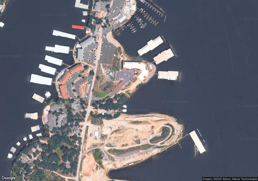
Map
Nearby Homes
- 1184 Jeffries Rd Unit 415
- 1184 Jeffries Rd Unit 311
- 1184 Jeffries Rd Unit 310
- 1184 Jeffries Rd Unit 519
- 1184 Jeffries Rd Unit 113
- 1184 Jeffries Rd Unit 119
- 1184 Jeffries Rd Unit 218
- 1184 Jeffries Rd Unit 318
- 1184 Jeffries Rd Unit 416
- 1184 Jeffries Rd Unit 312
- 1217 Jeffries Rd Unit A101
- 1181 Jeffries Rd Unit A403
- 1181 Jeffries Rd Unit A302
- 1285 Jeffries Rd
- 5088 Summerset Cir Unit D-3
- 4897 Bridgepointe Dr Unit 122
- 4897 Bridgepointe Dr Unit 141
- TBD U S 54
- 1205 Lands End Pkwy Unit 537
- 00 Kalran Dr
- 1184 Jeffries Rd Unit 116
- 1184 Jeffries Rd Unit 117
- 1184 Jeffries Rd Unit 118
- 1184 Jeffries Rd Unit 217
- 1184 Jeffries Rd Unit 219
- 1184 Jeffries Rd Unit 319
- 1184 Jeffries Rd Unit 417
- 1184 Jeffries Rd Unit 418
- 1184 Jeffries Rd Unit 419
- 1184 Jeffries Rd Unit 518
- 1184 Jeffries Rd Unit 317
- 1184 Jeffries Rd Unit 517
- 1184 Jeffries Rd Unit 314
- 1184 Jeffries Rd Unit 214
- 1184 Jeffries Rd Unit 115
- 1184 Jeffries Rd
- 1184 Jeffries Rd Unit 514
- 1184 Jeffries Rd Unit 513`
- 1184 Jeffries Rd Unit 213
- 1184 Jeffries Rd Unit 1C