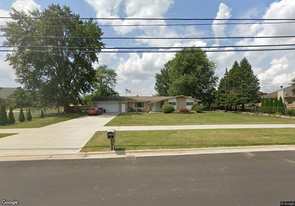
50465 Card Rd Macomb, MI 48044
Estimated Value: $361,000 - $422,000
--
Bed
2
Baths
1,862
Sq Ft
$211/Sq Ft
Est. Value
About This Home
This home is located at 50465 Card Rd, Macomb, MI 48044 and is currently estimated at $393,220, approximately $211 per square foot. 50465 Card Rd is a home located in Macomb County with nearby schools including Shawnee Elementary School, Seneca Middle School, and Dakota High School.
Ownership History
Date
Name
Owned For
Owner Type
Purchase Details
Closed on
Apr 21, 2004
Sold by
Hofmann Terry R
Bought by
Hofmann Pamela J
Current Estimated Value
Home Financials for this Owner
Home Financials are based on the most recent Mortgage that was taken out on this home.
Original Mortgage
$182,000
Outstanding Balance
$89,863
Interest Rate
6.37%
Mortgage Type
Stand Alone Refi Refinance Of Original Loan
Estimated Equity
$303,357
Purchase Details
Closed on
May 17, 2001
Sold by
Mullis William J Trust
Bought by
Hofmann Terry R
Home Financials for this Owner
Home Financials are based on the most recent Mortgage that was taken out on this home.
Original Mortgage
$182,750
Interest Rate
7.16%
Mortgage Type
Purchase Money Mortgage
Purchase Details
Closed on
May 19, 1999
Sold by
Descheemaeker John R
Bought by
William J Mullis Trust
Create a Home Valuation Report for This Property
The Home Valuation Report is an in-depth analysis detailing your home's value as well as a comparison with similar homes in the area
Home Values in the Area
Average Home Value in this Area
Purchase History
| Date | Buyer | Sale Price | Title Company |
|---|---|---|---|
| Hofmann Pamela J | -- | -- | |
| Hofmann Terry R | $215,000 | -- | |
| William J Mullis Trust | $195,000 | -- |
Source: Public Records
Mortgage History
| Date | Status | Borrower | Loan Amount |
|---|---|---|---|
| Open | Hofmann Pamela J | $182,000 | |
| Closed | Hofmann Terry R | $182,750 |
Source: Public Records
Tax History Compared to Growth
Tax History
| Year | Tax Paid | Tax Assessment Tax Assessment Total Assessment is a certain percentage of the fair market value that is determined by local assessors to be the total taxable value of land and additions on the property. | Land | Improvement |
|---|---|---|---|---|
| 2025 | $2,813 | $167,300 | $0 | $0 |
| 2024 | $2,166 | $161,300 | $0 | $0 |
| 2023 | $2,055 | $145,700 | $0 | $0 |
| 2022 | $2,552 | $138,200 | $0 | $0 |
| 2021 | $2,483 | $126,600 | $0 | $0 |
| 2020 | $1,885 | $120,500 | $0 | $0 |
| 2019 | $2,297 | $115,800 | $0 | $0 |
| 2018 | $2,238 | $96,000 | $0 | $0 |
| 2017 | $2,203 | $86,820 | $25,920 | $60,900 |
| 2016 | $2,090 | $86,830 | $0 | $0 |
| 2015 | $2,062 | $76,910 | $0 | $0 |
| 2014 | $2,062 | $67,170 | $20,500 | $46,670 |
| 2013 | $1,524 | $67,170 | $0 | $0 |
Source: Public Records
Map
Nearby Homes
- 50262 Barrett Dr
- 21372 Florence Dr
- 22106 Grove Dr Unit Lot 43
- 22119 Sturgeon River Dr Unit Lot 28
- 22121 Tahquamenon Ct Unit Lot 37
- 22138 Grove Dr Unit Lot 41
- 50529 Summit View Dr Unit Lot 31
- 50567 Summit View Dr Unit Lot 32
- 50710 Summit View Dr Unit Lot 12
- 21525 23 Mile Rd
- 50606 Summit View Dr Unit Lot 16
- 50059 Anita Way N Unit 8
- 22064 Chaucer Ct
- 21943 Anita Way E
- 50011 Anita Way N
- 50632 Summit View Dr Unit Lot 15
- 21959 Majestic Dr E
- 21742 Ambassador Dr
- 49650 Card Rd
- 51381 Mauro Ln
- 21748 Sabrina Dr
- 21766 Sabrina Dr
- 21730 Sabrina Dr
- 21784 Sabrina Dr
- 21712 Sabrina Dr
- 50454 Card Rd
- 21694 Sabrina Dr
- 50394 Card Rd
- 21759 Marina Cir
- 21678 Sabrina Dr
- 21761 Sabrina Dr
- 21779 Sabrina Dr
- 50334 Card Rd
- 21797 Sabrina Dr
- 21743 Marina Cir
- 21658 Sabrina Dr
- 21703 Sabrina Dr
- 21685 Sabrina Dr
- 21640 Sabrina Dr
- 50651 Card Rd