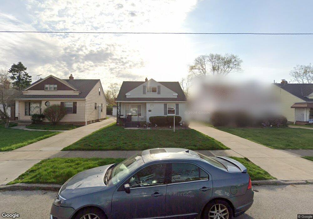
5049 Philip Ave Maple Heights, OH 44137
Estimated Value: $120,596 - $162,000
4
Beds
2
Baths
1,272
Sq Ft
$109/Sq Ft
Est. Value
About This Home
This home is located at 5049 Philip Ave, Maple Heights, OH 44137 and is currently estimated at $138,899, approximately $109 per square foot. 5049 Philip Ave is a home located in Cuyahoga County with nearby schools including Abraham Lincoln Elementary School, Rockside/ J.F. Kennedy School, and Italy High School.
Ownership History
Date
Name
Owned For
Owner Type
Purchase Details
Closed on
Mar 31, 1995
Sold by
Hrudka Wilma E
Bought by
Smith Randolph and Smith Cornelia
Current Estimated Value
Home Financials for this Owner
Home Financials are based on the most recent Mortgage that was taken out on this home.
Original Mortgage
$61,750
Interest Rate
8.91%
Mortgage Type
New Conventional
Purchase Details
Closed on
Jan 1, 1975
Bought by
Hrudka Wilma E
Create a Home Valuation Report for This Property
The Home Valuation Report is an in-depth analysis detailing your home's value as well as a comparison with similar homes in the area
Home Values in the Area
Average Home Value in this Area
Purchase History
| Date | Buyer | Sale Price | Title Company |
|---|---|---|---|
| Smith Randolph | $65,000 | -- | |
| Hrudka Wilma E | -- | -- |
Source: Public Records
Mortgage History
| Date | Status | Borrower | Loan Amount |
|---|---|---|---|
| Closed | Smith Randolph | $61,750 |
Source: Public Records
Tax History Compared to Growth
Tax History
| Year | Tax Paid | Tax Assessment Tax Assessment Total Assessment is a certain percentage of the fair market value that is determined by local assessors to be the total taxable value of land and additions on the property. | Land | Improvement |
|---|---|---|---|---|
| 2024 | $1,590 | $36,260 | $7,140 | $29,120 |
| 2023 | $531 | $21,390 | $4,340 | $17,050 |
| 2022 | $603 | $21,390 | $4,340 | $17,050 |
| 2021 | $630 | $21,390 | $4,340 | $17,050 |
| 2020 | $253 | $16,210 | $3,290 | $12,920 |
| 2019 | $243 | $46,300 | $9,400 | $36,900 |
| 2018 | $1,076 | $16,210 | $3,290 | $12,920 |
| 2017 | $1,947 | $14,770 | $3,010 | $11,760 |
| 2016 | $1,884 | $14,770 | $3,010 | $11,760 |
| 2015 | $1,883 | $14,770 | $3,010 | $11,760 |
| 2014 | $1,883 | $16,250 | $3,330 | $12,920 |
Source: Public Records
Map
Nearby Homes
- 5061 Philip Ave
- 5082 Philip Ave
- 5110 Philip Ave
- 5031 Cato St
- 5185 Clement Ave
- 5231 Philip Ave
- 5199 Arch St
- 5208 Clement Ave
- 5257 Philip Ave
- 5212 Catherine St
- 5239 Arch St
- 16712 Kollin Ave
- 5234 Erwin St
- 16706 Myrtle Ave
- 5210 Theodore St
- 5320 Clement Ave
- 16241 Glenburn Ave
- 17916 North Blvd
- 17912 North Blvd
- 4737 E 174th St
- 5053 Philip Ave
- 5045 Philip Ave
- 5057 Philip Ave
- 5041 Philip Ave
- 5037 Philip Ave
- 5050 Thomas St
- 5054 Thomas St
- 5046 Thomas St
- 5040 Thomas St
- 5065 Philip Ave
- 5033 Philip Ave
- 5036 Thomas St
- 5062 Thomas St
- 5050 Philip 3 4ab
- 5050 Philip Ave
- 5046 Philip 3 4ab
- 5054 Philip Ave
- 5046 Philip Ave
- 5058 Philip Ave
- 5042 Philip Ave