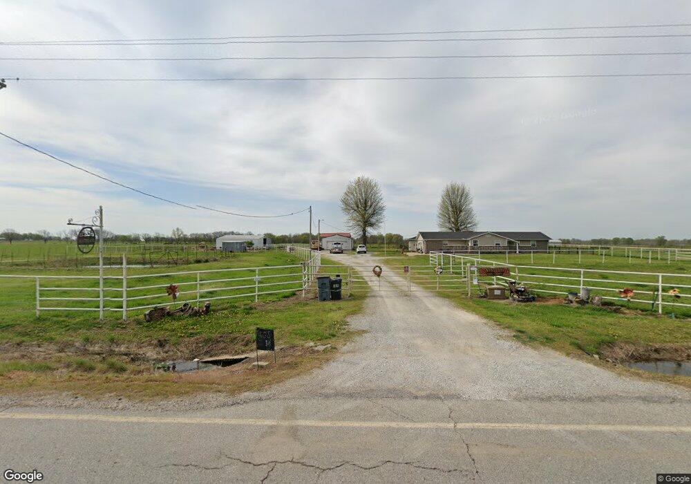
50491 E 150 Rd Bluejacket, OK 74333
Estimated Value: $340,000 - $569,061
4
Beds
3
Baths
2,705
Sq Ft
$167/Sq Ft
Est. Value
About This Home
This home is located at 50491 E 150 Rd, Bluejacket, OK 74333 and is currently estimated at $453,015, approximately $167 per square foot. 50491 E 150 Rd is a home located in Ottawa County with nearby schools including Afton Elementary School and Afton High School.
Ownership History
Date
Name
Owned For
Owner Type
Purchase Details
Closed on
Nov 9, 2020
Sold by
Treadway Billy B and Treadway Marie A
Bought by
Hilderbrand Tony R and Hilderbrand Janet L
Current Estimated Value
Home Financials for this Owner
Home Financials are based on the most recent Mortgage that was taken out on this home.
Original Mortgage
$339,458
Outstanding Balance
$301,379
Interest Rate
2.8%
Mortgage Type
VA
Estimated Equity
$151,636
Purchase Details
Closed on
Jul 25, 2018
Sold by
Brown Hiseog A and Brown Nancy D
Bought by
Treadway Billy B and Treadway Marie A
Purchase Details
Closed on
Nov 29, 2005
Sold by
Kays Kymberly C and Kays Mark
Bought by
Brown Joseph A and Brown Nancy D
Purchase Details
Closed on
Jun 18, 2002
Bought by
Kays Kymberly C
Purchase Details
Closed on
Nov 10, 1997
Bought by
Hicks Trent A and Hicks Mikaela
Purchase Details
Closed on
Jun 30, 1992
Bought by
Mate Joseph D
Create a Home Valuation Report for This Property
The Home Valuation Report is an in-depth analysis detailing your home's value as well as a comparison with similar homes in the area
Purchase History
| Date | Buyer | Sale Price | Title Company |
|---|---|---|---|
| Hilderbrand Tony R | $340,000 | Grand River Abstract & Ttl C | |
| Treadway Billy B | $205,000 | Grand River Abstract & Title | |
| Brown Joseph A | $185,000 | None Available | |
| Kays Kymberly C | $95,000 | -- | |
| Hicks Trent A | $80,000 | -- | |
| Mate Joseph D | -- | -- |
Source: Public Records
Mortgage History
| Date | Status | Borrower | Loan Amount |
|---|---|---|---|
| Open | Hilderbrand Tony R | $339,458 |
Source: Public Records
Tax History
| Year | Tax Paid | Tax Assessment Tax Assessment Total Assessment is a certain percentage of the fair market value that is determined by local assessors to be the total taxable value of land and additions on the property. | Land | Improvement |
|---|---|---|---|---|
| 2025 | $2,933 | $38,760 | $5,130 | $33,630 |
| 2024 | $2,933 | $38,760 | $5,130 | $33,630 |
| 2023 | $2,933 | $38,760 | $5,130 | $33,630 |
| 2022 | $2,698 | $38,760 | $5,130 | $33,630 |
| 2021 | $2,769 | $38,760 | $5,130 | $33,630 |
| 2020 | $1,539 | $22,538 | $1,961 | $20,577 |
| 2019 | $1,539 | $22,538 | $1,962 | $20,576 |
| 2018 | $1,593 | $23,292 | $2,047 | $21,245 |
| 2017 | $1,593 | $23,292 | $2,053 | $21,239 |
| 2016 | $1,607 | $23,493 | $1,664 | $21,829 |
| 2015 | $1,446 | $21,090 | $1,088 | $20,002 |
| 2014 | $1,561 | $22,809 | $1,177 | $21,632 |
Source: Public Records
Map
Nearby Homes
- 50960 E 130 Rd
- E 130 Rd
- 0 Lot 1 Hwy 59
- 0 E 130 Rd
- 0 Tract 2 Hwy 59
- 0 Tract 8 Hwy 59
- 18801 S Highway 69
- 0 E 130 Rd Unit 22-974
- 447503 E 110 Rd
- 11400 S 540 Rd
- 2122 P St SW
- 1133 Sunset Strip
- 52102 E 200 Rd
- 2027 P St SW
- 1 Old Highway 10 Hwy
- 37 Old Highway 10
- 1101 22nd Place SW
- 2042 M St SW
- 14701 S 560 Rd
- 9990 S 490 Rd
Your Personal Tour Guide
Ask me questions while you tour the home.