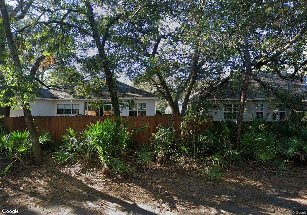
505 Brockinton S Unit 505 St. Simons Island, GA 31522
Estimated Value: $306,000 - $368,000
3
Beds
2
Baths
1,176
Sq Ft
$280/Sq Ft
Est. Value
About This Home
This home is located at 505 Brockinton S Unit 505, St. Simons Island, GA 31522 and is currently estimated at $329,144, approximately $279 per square foot. 505 Brockinton S Unit 505 is a home located in Glynn County with nearby schools including Oglethorpe Point Elementary School, Glynn Middle School, and Glynn Academy.
Ownership History
Date
Name
Owned For
Owner Type
Purchase Details
Closed on
Sep 29, 2015
Sold by
Southern Intermediary Svcs
Bought by
Robinsin Daniel Craig and Robinson Nicole Teresa
Current Estimated Value
Home Financials for this Owner
Home Financials are based on the most recent Mortgage that was taken out on this home.
Original Mortgage
$135,900
Outstanding Balance
$106,813
Interest Rate
3.93%
Mortgage Type
New Conventional
Estimated Equity
$222,331
Purchase Details
Closed on
Feb 27, 2015
Sold by
Henry Lester
Bought by
Ga Real Parcels Inc
Create a Home Valuation Report for This Property
The Home Valuation Report is an in-depth analysis detailing your home's value as well as a comparison with similar homes in the area
Home Values in the Area
Average Home Value in this Area
Purchase History
| Date | Buyer | Sale Price | Title Company |
|---|---|---|---|
| Robinsin Daniel Craig | $151,000 | -- | |
| Ga Real Parcels Inc | $75,000 | -- |
Source: Public Records
Mortgage History
| Date | Status | Borrower | Loan Amount |
|---|---|---|---|
| Open | Robinsin Daniel Craig | $135,900 |
Source: Public Records
Tax History Compared to Growth
Tax History
| Year | Tax Paid | Tax Assessment Tax Assessment Total Assessment is a certain percentage of the fair market value that is determined by local assessors to be the total taxable value of land and additions on the property. | Land | Improvement |
|---|---|---|---|---|
| 2025 | $2,759 | $110,000 | $0 | $110,000 |
| 2024 | $2,759 | $110,000 | $0 | $110,000 |
| 2023 | $2,546 | $103,600 | $0 | $103,600 |
| 2022 | $2,257 | $90,000 | $0 | $90,000 |
| 2021 | $1,877 | $72,600 | $0 | $72,600 |
| 2020 | $1,896 | $72,600 | $0 | $72,600 |
| 2019 | $1,774 | $67,960 | $0 | $67,960 |
| 2018 | $1,523 | $58,320 | $0 | $58,320 |
| 2017 | $1,523 | $58,320 | $0 | $58,320 |
| 2016 | $1,272 | $53,000 | $0 | $53,000 |
| 2015 | $1,547 | $53,000 | $0 | $53,000 |
| 2014 | $1,547 | $64,200 | $0 | $64,200 |
Source: Public Records
Map
Nearby Homes
- 361 Brockinton Marsh
- 512 Brockinton S
- 122 Shady Brook Cir Unit 201
- 222 Walmar Grove
- 110 Pirates Cove
- 99 Brook Dr
- 112 Brookfield Trace
- 105 Brook Dr
- 109 Shady Brook Cir Unit 301
- 622 Brockinton Point
- 117 Quamley Wells Dr
- 146 Shady Brook Cir Unit 301
- 101 Barkentine Ct Unit A-1
- 123 Shadow Wood Bend
- 150 Shady Brook Cir Unit 201
- 129 Shadow Wood Bend
- 103 Travellers Way
- 131 Shadow Wood Bend
- 156 Shady Brook Cir Unit 101
- 18 Canopy Ct
- 506 Brockinton S
- 505 Brockinton S
- 508 Brockinton S
- 507 Brockinton S
- 507 Brockinton S Unit 7
- 508 Brockinton S Unit 8
- 503 Brockinton S Unit 3
- 503 Brockinton S
- 544 Brockinton South Condo Unit 544
- 546 Brockinton Dr Unit 546
- 546 Brockinton Dr Unit 46
- 546 Brockinton S
- 545 Brockinton S
- 510 Brockinton S
- 509 Brockinton S
- 509 Brockinton S Unit 509
- 502 Brockinton S
- 544 Brockinton Dr Unit 544
- 544 Brockinton S
- 543 Brockinton S