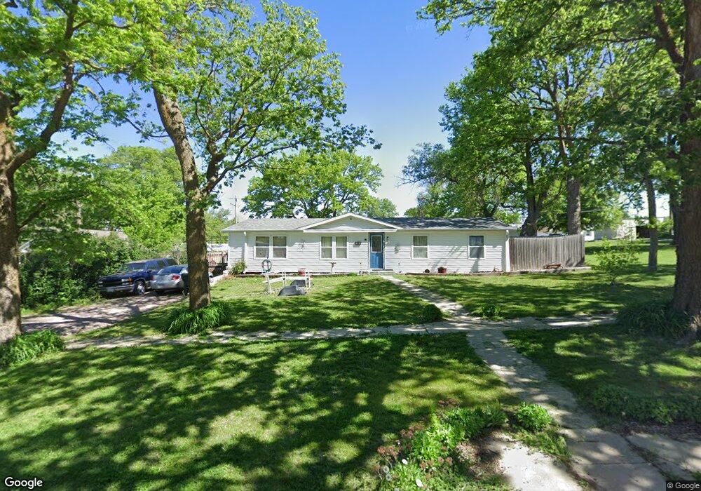
505 E Forrest St Sutton, NE 68979
Estimated Value: $71,000 - $170,225
3
Beds
2
Baths
1,404
Sq Ft
$96/Sq Ft
Est. Value
About This Home
This home is located at 505 E Forrest St, Sutton, NE 68979 and is currently estimated at $134,806, approximately $96 per square foot. 505 E Forrest St is a home located in Clay County with nearby schools including Sutton Elementary School, Sutton Secondary School, and Sutton Christian School.
Ownership History
Date
Name
Owned For
Owner Type
Purchase Details
Closed on
Nov 23, 2022
Sold by
Itzen-Newman Marla and Itzen-Newman Justin
Bought by
Itzen-Newman Marla and Newman Justin
Current Estimated Value
Purchase Details
Closed on
Jul 18, 2011
Sold by
Kathol Victor L and Kathol Lorraine J
Bought by
Itzen Marla
Purchase Details
Closed on
Jun 20, 2008
Sold by
Overturf Cory and Overturf Deborah
Bought by
Kathol Victor L and Kathol Lorraine J
Create a Home Valuation Report for This Property
The Home Valuation Report is an in-depth analysis detailing your home's value as well as a comparison with similar homes in the area
Purchase History
| Date | Buyer | Sale Price | Title Company |
|---|---|---|---|
| Itzen-Newman Marla | -- | -- | |
| Itzen Marla | $50,000 | -- | |
| Kathol Victor L | -- | -- |
Source: Public Records
Tax History
| Year | Tax Paid | Tax Assessment Tax Assessment Total Assessment is a certain percentage of the fair market value that is determined by local assessors to be the total taxable value of land and additions on the property. | Land | Improvement |
|---|---|---|---|---|
| 2025 | $1,494 | $102,845 | $7,475 | $95,370 |
| 2024 | $1,375 | $89,690 | $7,475 | $82,215 |
| 2023 | $1,676 | $89,690 | $7,475 | $82,215 |
| 2022 | $1,199 | $64,945 | $3,140 | $61,805 |
| 2021 | $1,158 | $61,445 | $3,140 | $58,305 |
| 2020 | $1,097 | $61,445 | $3,140 | $58,305 |
| 2019 | $941 | $52,975 | $3,140 | $49,835 |
| 2018 | $945 | $52,975 | $3,140 | $49,835 |
| 2017 | $913 | $52,975 | $3,140 | $49,835 |
| 2016 | $1,229 | $65,365 | $3,140 | $62,225 |
| 2015 | $13 | $65,365 | $3,140 | $62,225 |
| 2014 | -- | $65,365 | $3,140 | $62,225 |
| 2013 | -- | $65,365 | $3,140 | $62,225 |
Source: Public Records
Map
Nearby Homes
- 708 E Forrest St
- 209 E Grove St
- 111 E Forrest St
- 403 S Way
- . Schwab Subdivision Lots
- 502 S Maltby Ave
- Lot 3 Wellman Schwab Subdivision Ave
- 505 N Saunders Ave
- 512 N James Ave
- 712 S Maltby Ave
- 902 N Saunders Ave
- 811 S Saunders Ave
- Road 315
- Sutton Unit NE 68979
- Parcel 3 Walnut St
- Parcel 2 Walnut St
- 1820 Road 6
- 175 N Jackson Ave
- 235 E South St
- 1580
- 509 E Forrest St
- 102 N French Ave
- 108 N French Ave
- 504 E Elm St
- 506 E Elm St
- 511 E Forrest St
- 112 N French Ave
- 508 E Forrest St
- 501 E Elm St
- 510 E Forrest St
- 101 Crestview Dr
- 603 E Forrest St
- 105 N French Ave
- 103 Crestview Dr
- 107 N French Ave
- 202 N French Ave
- 101 S French Ave
- 505 E Elm St
- 108 N Calvert Ave
- 401 E Myrtle St
Your Personal Tour Guide
Ask me questions while you tour the home.