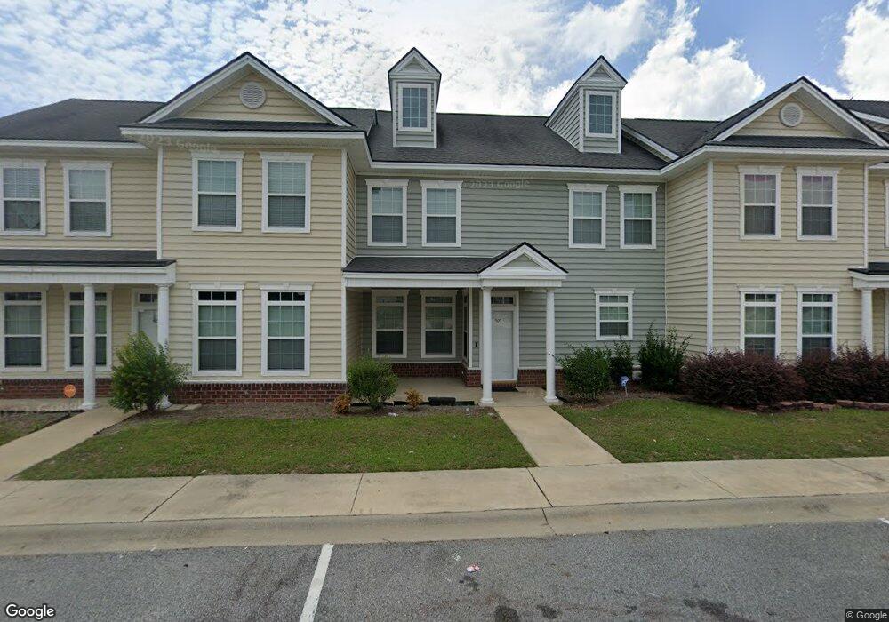
505 Forsyth Dr Hinesville, GA 31313
Estimated Value: $193,000 - $223,000
3
Beds
3
Baths
1,700
Sq Ft
$122/Sq Ft
Est. Value
About This Home
This home is located at 505 Forsyth Dr, Hinesville, GA 31313 and is currently estimated at $207,661, approximately $122 per square foot. 505 Forsyth Dr is a home located in Liberty County with nearby schools including Waldo Pafford Elementary School, Lewis Frasier Middle School, and Bradwell Institute.
Ownership History
Date
Name
Owned For
Owner Type
Purchase Details
Closed on
May 1, 2007
Sold by
Black Bucket Construction
Bought by
Boatwright Derrick L
Current Estimated Value
Home Financials for this Owner
Home Financials are based on the most recent Mortgage that was taken out on this home.
Original Mortgage
$165,773
Outstanding Balance
$100,559
Interest Rate
6.12%
Mortgage Type
VA
Estimated Equity
$107,102
Purchase Details
Closed on
Sep 13, 2006
Sold by
Black Bucket Enterprises Llc
Bought by
Black Bucket Construction Llc
Create a Home Valuation Report for This Property
The Home Valuation Report is an in-depth analysis detailing your home's value as well as a comparison with similar homes in the area
Home Values in the Area
Average Home Value in this Area
Purchase History
| Date | Buyer | Sale Price | Title Company |
|---|---|---|---|
| Boatwright Derrick L | $160,400 | -- | |
| Black Bucket Construction Llc | $585,000 | -- |
Source: Public Records
Mortgage History
| Date | Status | Borrower | Loan Amount |
|---|---|---|---|
| Open | Boatwright Derrick L | $165,773 |
Source: Public Records
Tax History Compared to Growth
Tax History
| Year | Tax Paid | Tax Assessment Tax Assessment Total Assessment is a certain percentage of the fair market value that is determined by local assessors to be the total taxable value of land and additions on the property. | Land | Improvement |
|---|---|---|---|---|
| 2024 | $3,558 | $72,428 | $6,000 | $66,428 |
| 2023 | $3,558 | $62,579 | $6,000 | $56,579 |
| 2022 | $2,457 | $52,708 | $6,000 | $46,708 |
| 2021 | $2,297 | $48,354 | $6,000 | $42,354 |
| 2020 | $2,164 | $45,106 | $6,000 | $39,106 |
| 2019 | $1,918 | $40,234 | $6,000 | $34,234 |
| 2018 | $1,925 | $40,610 | $6,000 | $34,610 |
| 2017 | $1,119 | $33,989 | $6,000 | $27,989 |
| 2016 | $1,552 | $34,290 | $6,000 | $28,290 |
| 2015 | $1,632 | $34,290 | $6,000 | $28,290 |
| 2014 | $1,632 | $35,691 | $6,000 | $29,691 |
| 2013 | -- | $45,081 | $9,600 | $35,481 |
Source: Public Records
Map
Nearby Homes
- 307 Lumpkin Ln
- 225 Rendell Ln
- 269 Brightleaf Cir
- 2716 Java Ct
- 2563 Zachary Ct
- 110 Brightleaf Cir
- 206 Brightleaf Cir
- 34 Daylily Ct
- 185 Brightleaf Cir
- 0 Airport Rd Unit 325633
- 78 Daylily Ct
- 266 Brightleaf Cir
- 470 Brightleaf Cir
- 572 Brightleaf Cir
- 323 Brightleaf Cir
- 426 Brightleaf Cir
- 302 Largo Ct
- 644 Piedmont Ave
- 56.16 AC W 15th St
- 330 Cowart Rd
- 503 Forsyth Dr
- 507 Forsyth Dr
- 501 Forsyth Dr
- 509 Forsyth Dr
- 511 Forsyth Dr
- 0 Conley Dr Unit 8271505
- 513 Forsyth Dr
- 414 Conley Dr
- 416 Conley Dr
- 412 Conley Dr
- 515 Forsyth Dr
- 410 Conley Dr
- 204 Telfair Dr
- 517 Forsyth Dr
- 406 Conley Dr Unit na
- 406 Conley Dr
- 404 Conley Dr
- 519 Forsyth Dr
- 519` Forsyth Dr
- 402 Conley Dr