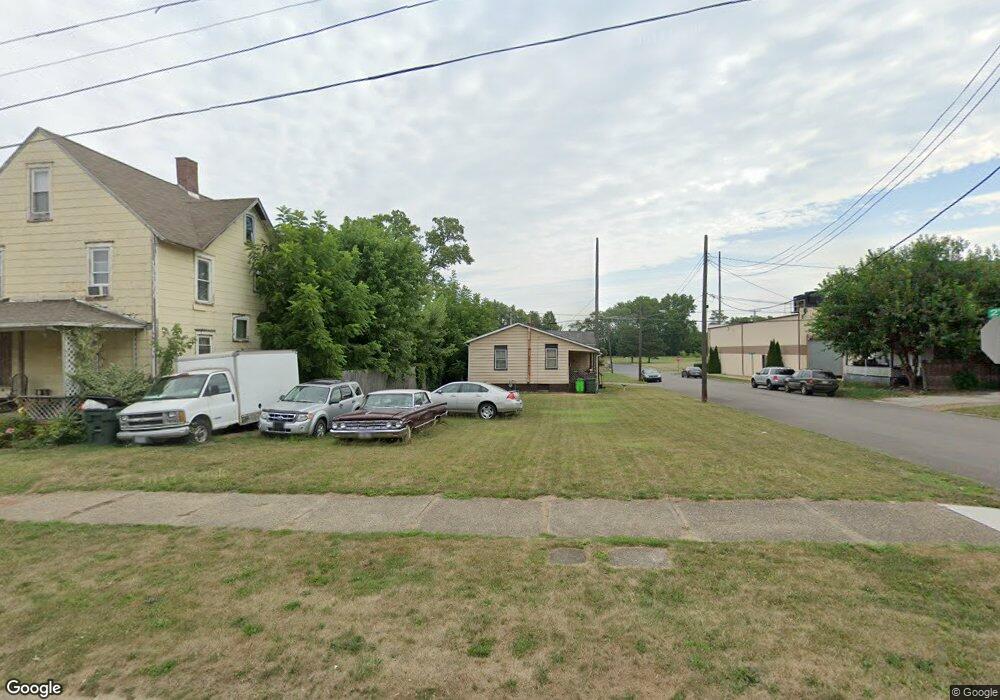
505 Hester Ave Alliance, OH 44601
Estimated Value: $33,000 - $94,000
4
Beds
2
Baths
2,052
Sq Ft
$31/Sq Ft
Est. Value
About This Home
This home is located at 505 Hester Ave, Alliance, OH 44601 and is currently estimated at $63,500, approximately $30 per square foot. 505 Hester Ave is a home located in Stark County with nearby schools including Alliance Early Learning School, Alliance Intermediate School at Northside, and Alliance Middle School.
Ownership History
Date
Name
Owned For
Owner Type
Purchase Details
Closed on
Jan 27, 2020
Sold by
Stark County Land Reutilization Corp
Bought by
City Of Alliance Land Reutilization Prog
Current Estimated Value
Purchase Details
Closed on
Feb 5, 2016
Sold by
Avenue C Ltd
Bought by
Stark County Land Reutilization Corp
Purchase Details
Closed on
Jan 5, 2006
Sold by
Keller Stephen C and Keller Steve C
Bought by
Avenue C Ltd
Purchase Details
Closed on
Jul 11, 1988
Create a Home Valuation Report for This Property
The Home Valuation Report is an in-depth analysis detailing your home's value as well as a comparison with similar homes in the area
Home Values in the Area
Average Home Value in this Area
Purchase History
| Date | Buyer | Sale Price | Title Company |
|---|---|---|---|
| City Of Alliance Land Reutilization Prog | -- | None Available | |
| Stark County Land Reutilization Corp | -- | None Available | |
| Avenue C Ltd | -- | None Available | |
| -- | $5,000 | -- |
Source: Public Records
Tax History Compared to Growth
Tax History
| Year | Tax Paid | Tax Assessment Tax Assessment Total Assessment is a certain percentage of the fair market value that is determined by local assessors to be the total taxable value of land and additions on the property. | Land | Improvement |
|---|---|---|---|---|
| 2022 | $36 | $880 | $880 | $0 |
| 2021 | $0 | $740 | $740 | $0 |
| 2020 | -- | $630 | $630 | $0 |
| 2019 | $60 | $630 | $630 | $0 |
| 2018 | $0 | $630 | $630 | $0 |
| 2017 | $0 | $530 | $530 | $0 |
| 2016 | $0 | $2,380 | $1,050 | $1,330 |
| 2015 | $114 | $2,380 | $1,050 | $1,330 |
| 2014 | $282 | $5,880 | $1,120 | $4,760 |
| 2013 | $281 | $5,880 | $1,120 | $4,760 |
Source: Public Records
Map
Nearby Homes
- 710 N Freedom Ave
- 124 E Wayne St
- 361 E Main St
- 163 W Market St
- 652 N Webb Ave
- 356 E Broadway St
- 142 S Seneca Ave
- 132 S Haines Ave
- 329 1/2 W Main St
- 263 Franklin Ave
- V/L S Fredeom Ave
- 427 S Union Ave
- 432 S Linden Ave
- 511 W Ely St
- 345 W Market St
- 11344 Walnut Ave NE
- 1214 Jersey St
- 452 E Summit St
- 11310 Webb Ave NE
- 140 W Summit St
- 513 Hester Ave
- 520 2nd St
- 517 Hester Ave
- 447 Hester Ave
- 431 Hester Ave
- 531 Hester Ave
- 614 N Freedom Ave
- 620 N Freedom Ave
- 626 N Freedom Ave
- 541 Hester Ave
- 429 Hester Ave
- 131 E Harrison St
- 634 N Freedom Ave
- 549 Hester Ave
- 111 E Harrison St
- 419 Crawford Ct
- 421 Crawford Ct
- 553 Hester Ave
- 646 N Freedom Ave
- 646 N Freedom Ave Unit 646 N. Freedom