Estimated Value: $359,740 - $422,000
4
Beds
4
Baths
1,997
Sq Ft
$196/Sq Ft
Est. Value
About This Home
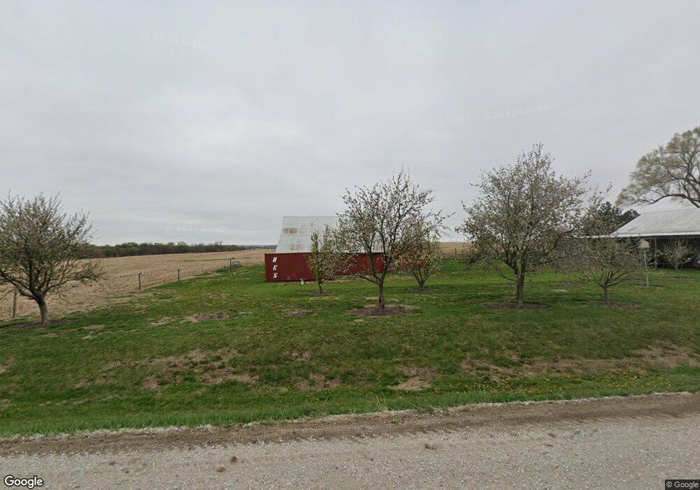
This home is located at 505 Hoback Rd, Union, NE 68455 and is currently estimated at $391,935, approximately $196 per square foot. 505 Hoback Rd is a home located in Cass County with nearby schools including Conestoga Elementary School and Conestoga Junior/Senior High School.
Ownership History
Date
Name
Owned For
Owner Type
Purchase Details
Closed on
Jul 18, 2006
Sold by
Martin Gregory M and Martin Rebecca A
Bought by
Saum John C and Saum Christina M
Current Estimated Value
Home Financials for this Owner
Home Financials are based on the most recent Mortgage that was taken out on this home.
Original Mortgage
$41,300
Interest Rate
6.78%
Mortgage Type
Unknown
Purchase Details
Closed on
May 26, 2000
Sold by
Marcy A and Scott M
Bought by
Gregory M and Rebecca A
Create a Home Valuation Report for This Property
The Home Valuation Report is an in-depth analysis detailing your home's value as well as a comparison with similar homes in the area
Home Values in the Area
Average Home Value in this Area
Purchase History
| Date | Buyer | Sale Price | Title Company |
|---|---|---|---|
| Saum John C | $206,500 | -- | |
| Gregory M | $134,000 | -- |
Source: Public Records
Mortgage History
| Date | Status | Borrower | Loan Amount |
|---|---|---|---|
| Closed | Saum John C | $41,300 | |
| Closed | Saum John C | $165,200 |
Source: Public Records
Tax History Compared to Growth
Tax History
| Year | Tax Paid | Tax Assessment Tax Assessment Total Assessment is a certain percentage of the fair market value that is determined by local assessors to be the total taxable value of land and additions on the property. | Land | Improvement |
|---|---|---|---|---|
| 2024 | $3,088 | $239,970 | $40,250 | $199,720 |
| 2023 | $3,090 | $224,722 | $25,002 | $199,720 |
| 2022 | $3,034 | $209,230 | $26,252 | $182,978 |
| 2021 | $2,925 | $195,100 | $20,835 | $174,265 |
| 2020 | $2,629 | $171,628 | $20,835 | $150,793 |
| 2019 | $2,731 | $171,628 | $20,835 | $150,793 |
| 2018 | $2,673 | $171,628 | $20,835 | $150,793 |
| 2017 | $2,710 | $171,628 | $20,835 | $150,793 |
| 2016 | $2,598 | $171,628 | $20,835 | $150,793 |
| 2015 | $2,585 | $171,628 | $20,835 | $150,793 |
| 2014 | $3,027 | $175,021 | $20,835 | $154,186 |
Source: Public Records
Map
Nearby Homes
- 315 A St
- 2109 W Shore Dr
- 1360 Harvest Dr
- 811 E Main St
- 401 & 415 Kaffenberger Dr
- 2410 Jefferson Rd
- 2018 Murray Rd
- 8520 Lake Ridge Dr
- 1910 Murray Rd
- 1928 Murray Rd
- 1714 Murray Rd
- 1940 Murray Rd
- 8504 Lake Ridge Dr
- 1948 Murray Rd
- 8611 12th Ave
- 1859 Lake Ridge Dr
- 1797 Lake Ridge Dr
- 1867 Lake Ridge Dr
- 1207 Beaver Lake Blvd
- 8505 Eagle Point