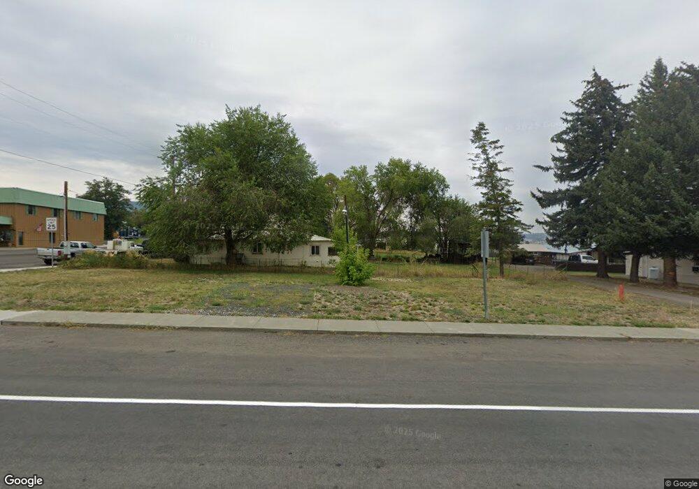
505 Hwy 395 N Long Creek, OR 97856
Estimated Value: $96,000 - $141,000
--
Bed
--
Bath
744
Sq Ft
$149/Sq Ft
Est. Value
About This Home
This home is located at 505 Hwy 395 N, Long Creek, OR 97856 and is currently estimated at $111,099, approximately $149 per square foot. 505 Hwy 395 N is a home with nearby schools including Long Creek School.
Ownership History
Date
Name
Owned For
Owner Type
Purchase Details
Closed on
Dec 7, 2021
Sold by
Fast Sharon J
Bought by
Taylor James A
Current Estimated Value
Home Financials for this Owner
Home Financials are based on the most recent Mortgage that was taken out on this home.
Original Mortgage
$85,000
Outstanding Balance
$41,209
Interest Rate
3.14%
Mortgage Type
Seller Take Back
Estimated Equity
$69,890
Create a Home Valuation Report for This Property
The Home Valuation Report is an in-depth analysis detailing your home's value as well as a comparison with similar homes in the area
Home Values in the Area
Average Home Value in this Area
Purchase History
| Date | Buyer | Sale Price | Title Company |
|---|---|---|---|
| Taylor James A | $85,000 | Land Ttl Co Of Grant Cnty In |
Source: Public Records
Mortgage History
| Date | Status | Borrower | Loan Amount |
|---|---|---|---|
| Open | Taylor James A | $85,000 |
Source: Public Records
Tax History Compared to Growth
Tax History
| Year | Tax Paid | Tax Assessment Tax Assessment Total Assessment is a certain percentage of the fair market value that is determined by local assessors to be the total taxable value of land and additions on the property. | Land | Improvement |
|---|---|---|---|---|
| 2024 | $23 | $32,315 | $16,080 | $16,235 |
| 2023 | $430 | $31,374 | $15,609 | $15,765 |
| 2022 | $415 | $30,461 | $15,160 | $15,301 |
| 2021 | $405 | $29,574 | $8,436 | $21,138 |
| 2020 | $432 | $28,713 | $8,193 | $20,520 |
| 2019 | $419 | $27,877 | $7,952 | $19,925 |
| 2018 | $1,405 | $27,066 | $7,722 | $19,344 |
| 2017 | $430 | $26,278 | $7,498 | $18,780 |
| 2016 | $414 | $25,513 | $7,278 | $18,235 |
| 2015 | $423 | $24,049 | $5,714 | $18,335 |
| 2014 | $423 | $24,049 | $5,714 | $18,335 |
| 2013 | $416 | $23,349 | $5,547 | $17,802 |
Source: Public Records
Map
Nearby Homes
- 265 Hwy 395 N
- 265 Hwy 395 N
- 0 E Main St
- 400 E Main St
- 250 2nd St
- 455 W 3rd St
- 61702 Middle Fork Ln
- 40035 Ritter Rd
- 0 Usfs 112 Unit 220209206
- 60255 National Forest Development Road 36
- 0 Usfs 36 Rd Unit 220207422
- 47345 Ritter Rd
- 31367 Clarks Creek Rd
- 0 Ritter Rd Unit 23103706
- 45469 Wall Creek Rd
- 52960 Cummings Creek Rd
- 0 Belshaw Rd Unit 24252186
- 44221 Top Rd
- 0 Hwy 395 Unit 220203788
- 0 Hwy 395 Unit 603386933
- 245 Hwy 395 N
- 270 N Hwy 395 N
- 260 N Hwy 395
- 240 N 395
- 300 N Hwy 395 N
- 180 Saunders Place
- 355 Hwy 395 N
- 0 Three Flags Hwy Unit 9063274
- 120 Saunders Place
- 155 Saunders Place
- 0 U S 395
- 105 Hwy 395 N
- 110 E Main St
- 160 W Main St
- 200 E Main St
- 108 W Main St
- 250 E Main St
- 130 E Main St
- 190 E Main St
- 733 W Main St