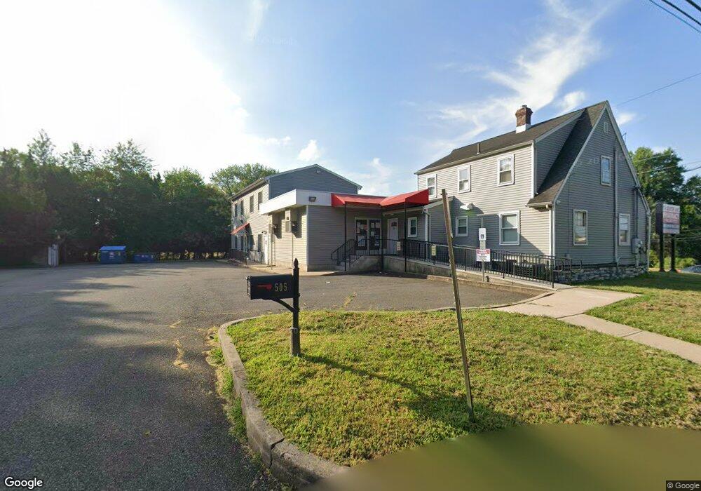
505 Milltown Rd Unit Lower North Brunswick, NJ 08902
--
Bed
--
Bath
4,824
Sq Ft
0.26
Acres
About This Home
This home is located at 505 Milltown Rd Unit Lower, North Brunswick, NJ 08902. 505 Milltown Rd Unit Lower is a home located in Middlesex County with nearby schools including Parsons Elementary School, Linwood Middle School, and North Brunswick Twp High School.
Ownership History
Date
Name
Owned For
Owner Type
Purchase Details
Closed on
Jun 29, 2021
Sold by
Millpond Realty Llc
Bought by
Holy Virgin & Fr Fanous Properties Llc
Purchase Details
Closed on
Jun 24, 2021
Sold by
Millpond Realty Llc
Bought by
Virgin Holy and Fr Fanous Properties Limited Liability Compan
Purchase Details
Closed on
Sep 27, 2001
Sold by
Weber Stella
Bought by
Millpond Realty Llc
Home Financials for this Owner
Home Financials are based on the most recent Mortgage that was taken out on this home.
Original Mortgage
$308,000
Interest Rate
6.66%
Mortgage Type
Commercial
Create a Home Valuation Report for This Property
The Home Valuation Report is an in-depth analysis detailing your home's value as well as a comparison with similar homes in the area
Home Values in the Area
Average Home Value in this Area
Purchase History
| Date | Buyer | Sale Price | Title Company |
|---|---|---|---|
| Holy Virgin & Fr Fanous Properties Llc | $770,000 | Mega Title Llc | |
| Virgin Holy | $770,000 | Mega Title | |
| Millpond Realty Llc | $195,000 | -- |
Source: Public Records
Mortgage History
| Date | Status | Borrower | Loan Amount |
|---|---|---|---|
| Previous Owner | Millpond Realty Llc | $308,000 |
Source: Public Records
Tax History Compared to Growth
Tax History
| Year | Tax Paid | Tax Assessment Tax Assessment Total Assessment is a certain percentage of the fair market value that is determined by local assessors to be the total taxable value of land and additions on the property. | Land | Improvement |
|---|---|---|---|---|
| 2025 | $22,873 | $361,000 | $125,000 | $236,000 |
| 2024 | $22,461 | $361,000 | $125,000 | $236,000 |
| 2023 | $22,461 | $361,000 | $125,000 | $236,000 |
| 2022 | $27,706 | $461,000 | $125,000 | $336,000 |
| 2021 | $27,047 | $461,000 | $125,000 | $336,000 |
| 2020 | $26,673 | $461,000 | $125,000 | $336,000 |
| 2019 | $26,129 | $461,000 | $125,000 | $336,000 |
| 2018 | $25,595 | $461,000 | $125,000 | $336,000 |
| 2017 | $25,143 | $461,000 | $125,000 | $336,000 |
| 2016 | $24,617 | $461,000 | $125,000 | $336,000 |
| 2015 | $24,198 | $461,000 | $125,000 | $336,000 |
| 2014 | $23,926 | $461,000 | $125,000 | $336,000 |
Source: Public Records
Map
Nearby Homes
- 50 Columbia Ave
- 803 Nassau St
- 79 Booream Ave
- 790 Cranbury Cross Rd
- 4 Graulich Dr
- 2 Kohlhepp Ave
- 1088 S Boyd Pkwy
- 173 N Main St
- 7 Oakwood Place
- 44 S Ward St
- 1123 N Boyd Pkwy
- 37 Hazelhurst St
- 855 Newton St
- 82 S Ward St
- 929 Hermann Rd
- 926 Hermann Rd
- 1224 Dogwood Ct
- 279 Highland Dr
- 988 Elmer Place
- 18 N Talmadge St