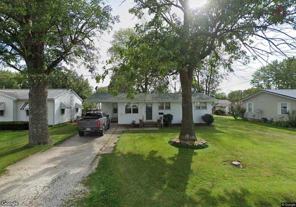
505 N Vine St Vandalia, MO 63382
Estimated Value: $74,000 - $108,000
--
Bed
--
Bath
1,036
Sq Ft
$87/Sq Ft
Est. Value
About This Home
This home is located at 505 N Vine St, Vandalia, MO 63382 and is currently estimated at $90,171, approximately $87 per square foot. 505 N Vine St is a home located in Audrain County with nearby schools including Van-Far Elementary School and Van-Far Junior/Senior High School.
Ownership History
Date
Name
Owned For
Owner Type
Purchase Details
Closed on
Jan 9, 2025
Sold by
Allen Paul L and Allen Michelle N
Bought by
Parker William E
Current Estimated Value
Purchase Details
Closed on
Jul 23, 2024
Sold by
Allen Marion and Allen Sheryl
Bought by
Allen Paul L and Allen Michelle N
Purchase Details
Closed on
Jul 29, 2014
Sold by
Straube Laura E and Straube Christopher
Bought by
Allen Marion and Allen Sheryl
Create a Home Valuation Report for This Property
The Home Valuation Report is an in-depth analysis detailing your home's value as well as a comparison with similar homes in the area
Home Values in the Area
Average Home Value in this Area
Purchase History
| Date | Buyer | Sale Price | Title Company |
|---|---|---|---|
| Parker William E | $79,337 | Indecomm Global Svcs | |
| Parker William E | -- | None Listed On Document | |
| Allen Paul L | -- | None Listed On Document | |
| Allen Marion | -- | -- | |
| Carter Rex D | -- | -- |
Source: Public Records
Tax History Compared to Growth
Tax History
| Year | Tax Paid | Tax Assessment Tax Assessment Total Assessment is a certain percentage of the fair market value that is determined by local assessors to be the total taxable value of land and additions on the property. | Land | Improvement |
|---|---|---|---|---|
| 2024 | $564 | $7,380 | $950 | $6,430 |
| 2023 | $557 | $7,380 | $950 | $6,430 |
| 2022 | $571 | $7,380 | $950 | $6,430 |
| 2021 | $557 | $7,380 | $950 | $6,430 |
| 2020 | $554 | $7,380 | $950 | $6,430 |
| 2019 | $553 | $7,380 | $950 | $6,430 |
| 2018 | $466 | $0 | $0 | $0 |
| 2017 | $511 | $0 | $0 | $0 |
| 2012 | $650 | $9,340 | $0 | $0 |
Source: Public Records
Map
Nearby Homes
- 514 W Us Highway 54
- 0 U S 54
- 1106 N Oak St
- 314 N Clark St
- 203 E Arlington Ave
- 102 N Clark St
- 102 Birchtree Dr
- 401 E Washington St
- 114 W Union St
- 405 W Bland St
- 00 State Route V
- 518 S Highland St
- 3511 Audrain Road 581
- 00 Highway V
- 20305 Highway M
- 234052 Highway M
- 36950 Highway K
- 14144 Highway E
- 81 Acre Audrain 695
- 3 Muldrow Trail
- 509 N Vine St
- 501 N Vine St
- 513 N Vine St
- 710 W Saint Johns St
- 710 W Saint Johns St
- 613 W McPike St
- 502 N Lincoln St
- 609 W McPike St
- 403 N Vine St
- 608 W Saint Johns St
- 608 W Saint Johns St
- 410 N Lincoln St
- 410 N Vine St
- 805 W McPike St
- 605 W McPike St
- 800 W Saint Johns St
- 604 W Street Johns St
- 610 W McPike St
- 604 W Saint Johns St
- 807 W McPike St