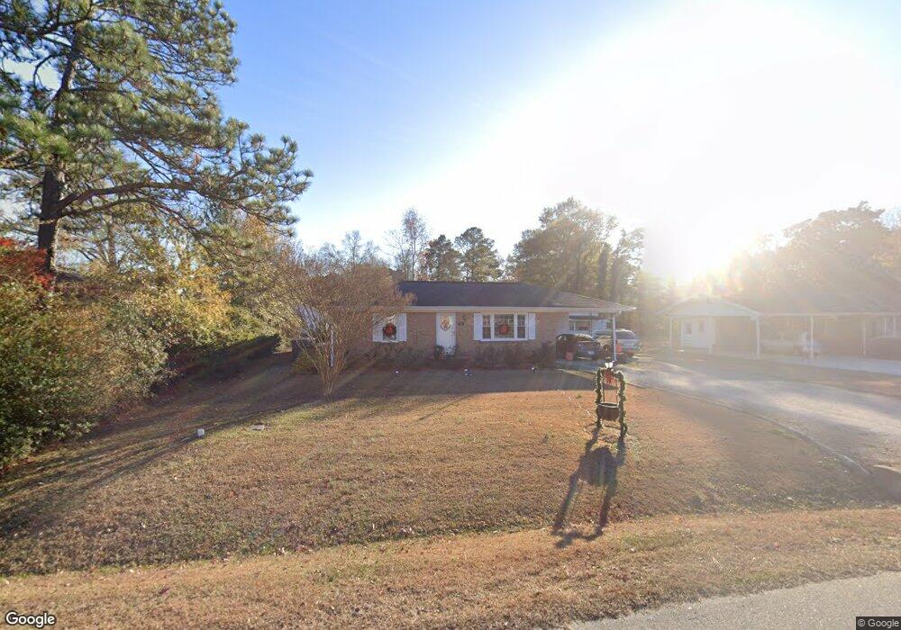
505 Powell St Smithfield, NC 27577
Estimated Value: $212,000 - $236,367
2
Beds
1
Bath
1,538
Sq Ft
$145/Sq Ft
Est. Value
About This Home
This home is located at 505 Powell St, Smithfield, NC 27577 and is currently estimated at $223,342, approximately $145 per square foot. 505 Powell St is a home located in Johnston County with nearby schools including Smithfield Middle School, Smithfield-Selma High School, and Neuse Charter School.
Ownership History
Date
Name
Owned For
Owner Type
Purchase Details
Closed on
Oct 9, 2015
Sold by
Worley Glenda Adams and Worley Ronald Eugene
Bought by
Worley Ronald Eugene and Wilson Katherine Elizabeth Worley
Current Estimated Value
Purchase Details
Closed on
Jun 8, 2005
Sold by
Worley Glenda Adams and Worley Ronald Eugene
Bought by
Worley Glenda Adams and Worley Ronald Eugene
Create a Home Valuation Report for This Property
The Home Valuation Report is an in-depth analysis detailing your home's value as well as a comparison with similar homes in the area
Home Values in the Area
Average Home Value in this Area
Purchase History
| Date | Buyer | Sale Price | Title Company |
|---|---|---|---|
| Worley Ronald Eugene | -- | None Available | |
| Worley Glenda Adams | -- | None Available |
Source: Public Records
Tax History
| Year | Tax Paid | Tax Assessment Tax Assessment Total Assessment is a certain percentage of the fair market value that is determined by local assessors to be the total taxable value of land and additions on the property. | Land | Improvement |
|---|---|---|---|---|
| 2025 | $1,768 | $233,840 | $57,000 | $176,840 |
| 2024 | $1,496 | $120,660 | $33,250 | $87,410 |
| 2023 | $1,520 | $120,660 | $33,250 | $87,410 |
| 2022 | $1,569 | $120,660 | $33,250 | $87,410 |
| 2021 | $1,569 | $120,660 | $33,250 | $87,410 |
| 2020 | $1,605 | $120,660 | $33,250 | $87,410 |
| 2019 | $1,605 | $120,660 | $33,250 | $87,410 |
| 2018 | $1,041 | $99,350 | $22,050 | $77,300 |
| 2017 | $1,341 | $99,350 | $22,050 | $77,300 |
| 2016 | $1,341 | $99,350 | $22,050 | $77,300 |
| 2015 | $1,341 | $99,350 | $22,050 | $77,300 |
| 2014 | -- | $99,350 | $22,050 | $77,300 |
Source: Public Records
Map
Nearby Homes
- 102 Hartley Dr
- 705 Wilsons Mills Rd
- 115 Strickland Dr
- 415 Barbour Rd
- 132 Brook Place
- 109 Peebles Dr
- 113 Castle Dr
- 0 Wilsons Mills Rd Unit 10107874
- Lt 13a Wilsons Mills Rd
- 137 Bella Square
- 102 Hillcrest Dr
- 503 Laurel Dr
- 270 Cordgrass Ct
- 440 Sturgeon St
- 70 Altimont St
- 252 Cordgrass Ct
- 240 Cordgrass Ct
- 228 Cordgrass Ct
- 204 Cordgrass Ct
- 106 Two Daughters Stream
Your Personal Tour Guide
Ask me questions while you tour the home.