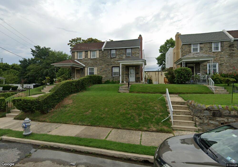
505 Rose St Lansdowne, PA 19050
Estimated Value: $125,000 - $289,000
3
Beds
1
Bath
1,328
Sq Ft
$164/Sq Ft
Est. Value
About This Home
This home is located at 505 Rose St, Lansdowne, PA 19050 and is currently estimated at $217,598, approximately $163 per square foot. 505 Rose St is a home located in Delaware County with nearby schools including Evans Elementary School, Penn Wood Middle School, and Penn Wood High School - Cypress Street Campus.
Ownership History
Date
Name
Owned For
Owner Type
Purchase Details
Closed on
Sep 24, 2021
Sold by
Yankson Edward K and Estate Of George Kwame Yankson
Bought by
Simkallay Malcolm
Current Estimated Value
Purchase Details
Closed on
Jun 26, 2003
Sold by
Dugan Edward J and Estate Of Edward J Dugan
Bought by
Yankson George Kwame
Home Financials for this Owner
Home Financials are based on the most recent Mortgage that was taken out on this home.
Original Mortgage
$85,500
Interest Rate
5.53%
Mortgage Type
Purchase Money Mortgage
Create a Home Valuation Report for This Property
The Home Valuation Report is an in-depth analysis detailing your home's value as well as a comparison with similar homes in the area
Home Values in the Area
Average Home Value in this Area
Purchase History
| Date | Buyer | Sale Price | Title Company |
|---|---|---|---|
| Simkallay Malcolm | $85,000 | Philadelphia Abstract Co | |
| Yankson George Kwame | $90,000 | -- |
Source: Public Records
Mortgage History
| Date | Status | Borrower | Loan Amount |
|---|---|---|---|
| Previous Owner | Yankson George Kwame | $85,500 |
Source: Public Records
Tax History Compared to Growth
Tax History
| Year | Tax Paid | Tax Assessment Tax Assessment Total Assessment is a certain percentage of the fair market value that is determined by local assessors to be the total taxable value of land and additions on the property. | Land | Improvement |
|---|---|---|---|---|
| 2025 | $4,879 | $114,270 | $34,390 | $79,880 |
| 2024 | $4,879 | $114,270 | $34,390 | $79,880 |
| 2023 | $4,432 | $114,270 | $34,390 | $79,880 |
| 2022 | $4,226 | $114,270 | $34,390 | $79,880 |
| 2021 | $6,390 | $114,270 | $34,390 | $79,880 |
| 2020 | $3,976 | $63,670 | $19,840 | $43,830 |
| 2019 | $3,906 | $63,670 | $19,840 | $43,830 |
| 2018 | $3,852 | $63,670 | $0 | $0 |
| 2017 | $3,771 | $63,670 | $0 | $0 |
| 2016 | $349 | $63,670 | $0 | $0 |
| 2015 | $349 | $63,670 | $0 | $0 |
| 2014 | $349 | $63,670 | $0 | $0 |
Source: Public Records
Map
Nearby Homes
- 536 Cypress St
- 407 Church Ln
- 503 Bonsall Ave
- 435 Bonsall Ave
- 1016 Whitby Ave
- 702 Cedar Ave
- 530 Orchard Ave
- 1212 S Millick St
- 6013 Baltimore Ave
- 6030 Cedarhurst St
- 1201 S Millick St
- 603 Penn St
- 1214 S 60th St
- 6026 Baltimore Ave
- 711 Yeadon Ave Unit 1
- 740 Church Ln
- 6019 Wharton St
- 722 Yeadon Ave
- 6005 Cedarhurst St
- 1117 S 61st St