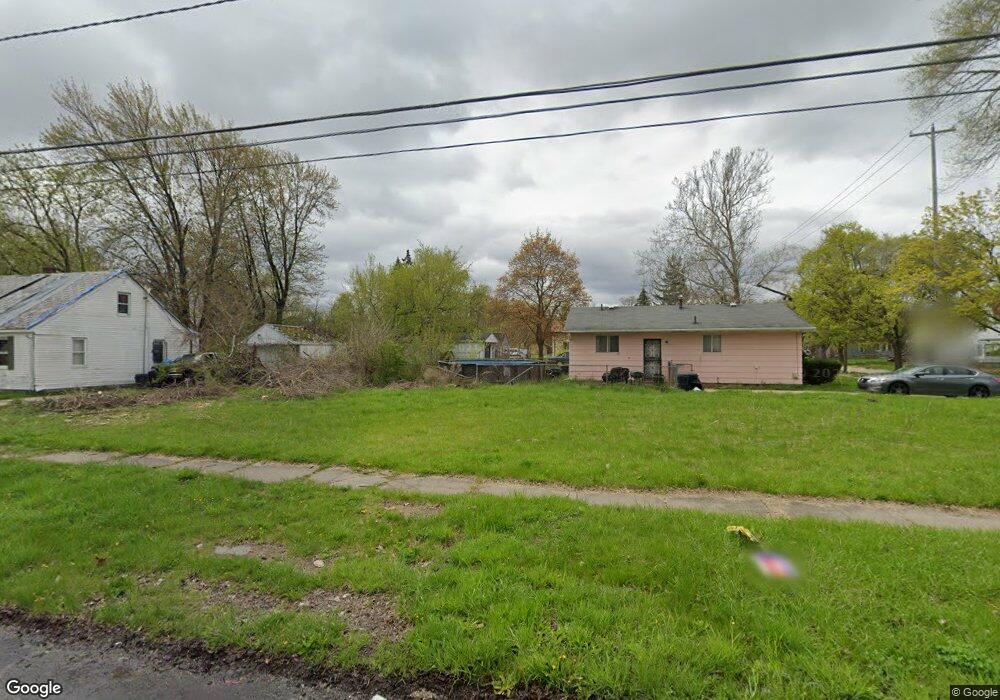
505 S 17th St Saginaw, MI 48601
Houghton Jones NeighborhoodEstimated Value: $34,000 - $135,000
--
Bed
--
Bath
1,248
Sq Ft
$59/Sq Ft
Est. Value
About This Home
This home is located at 505 S 17th St, Saginaw, MI 48601 and is currently estimated at $74,000, approximately $59 per square foot. 505 S 17th St is a home located in Saginaw County with nearby schools including Thompson Middle School, Saginaw United High School, and Saginaw Learn To Earn Academy.
Ownership History
Date
Name
Owned For
Owner Type
Purchase Details
Closed on
Nov 29, 2022
Sold by
Saginaw County Land Bank Authority
Bought by
Townsend James
Current Estimated Value
Purchase Details
Closed on
Nov 1, 2012
Sold by
Nausolf Barbara L
Bought by
Saginaw County Land Bank Authority
Purchase Details
Closed on
Sep 1, 1994
Sold by
Symons Mary
Bought by
Wilson Floyd and Wilson Lucy A
Purchase Details
Closed on
Dec 27, 1993
Sold by
Austin Ruby Lee
Bought by
Symons Mark and Wilson Carol
Purchase Details
Closed on
Jul 10, 1992
Sold by
Symons Mark
Bought by
Austin Ruby Lee
Create a Home Valuation Report for This Property
The Home Valuation Report is an in-depth analysis detailing your home's value as well as a comparison with similar homes in the area
Home Values in the Area
Average Home Value in this Area
Purchase History
| Date | Buyer | Sale Price | Title Company |
|---|---|---|---|
| Townsend James | $300 | -- | |
| Saginaw County Land Bank Authority | -- | -- | |
| Wilson Floyd | -- | -- | |
| Symons Mark | -- | -- | |
| Austin Ruby Lee | $11,200 | -- |
Source: Public Records
Tax History Compared to Growth
Tax History
| Year | Tax Paid | Tax Assessment Tax Assessment Total Assessment is a certain percentage of the fair market value that is determined by local assessors to be the total taxable value of land and additions on the property. | Land | Improvement |
|---|---|---|---|---|
| 2025 | $37 | $500 | $0 | $0 |
| 2024 | $31 | $500 | $0 | $0 |
| 2023 | $31 | $500 | $0 | $0 |
| 2022 | $0 | $0 | $0 | $0 |
| 2021 | $0 | $0 | $0 | $0 |
| 2020 | $0 | $0 | $0 | $0 |
| 2019 | $0 | $0 | $0 | $0 |
| 2018 | $0 | $0 | $0 | $0 |
| 2017 | $0 | $0 | $0 | $0 |
| 2016 | -- | $0 | $0 | $0 |
| 2014 | -- | $0 | $0 | $0 |
| 2013 | -- | $0 | $0 | $0 |
Source: Public Records
Map
Nearby Homes
- 3361 Burt St
- 1919 Perkins St
- 2420 Bancroft St
- 441 S 11th St
- 213 S 12th St
- 346 S 7th St
- 644 S 26th St
- 2143 Whittier St
- 436 S 27th St
- 1610 E Genesee Ave
- 440 S 28th St
- 523 S 29th St
- 1103,1107,1111,1115 S Park Ave
- 1410 S 17th St
- 915 Burt St
- 550 S Weadock Ave
- 924 Federal Ave
- 631 Cathay St
- 2009 E Holland Rd
- 514 N 8th St
- 2220 Burt St
- 2220 Burt St Unit javascript:void(0);
- 2216 Burt St
- 515 S 17th St
- 457 S 17th St
- 2210 Burt St
- 519 S 17th St
- 2202 Burt St
- 525 S 17th St
- 454 S 17th St
- 449 S 17th St
- 2207 Burt St
- 524 S 17th St
- 518 S 16th St
- 529 S 17th St
- 2203 Burt St
- 443 S 17th St
- 524 S 16th St
- 2311 Markle Place
- 535 S 17th St