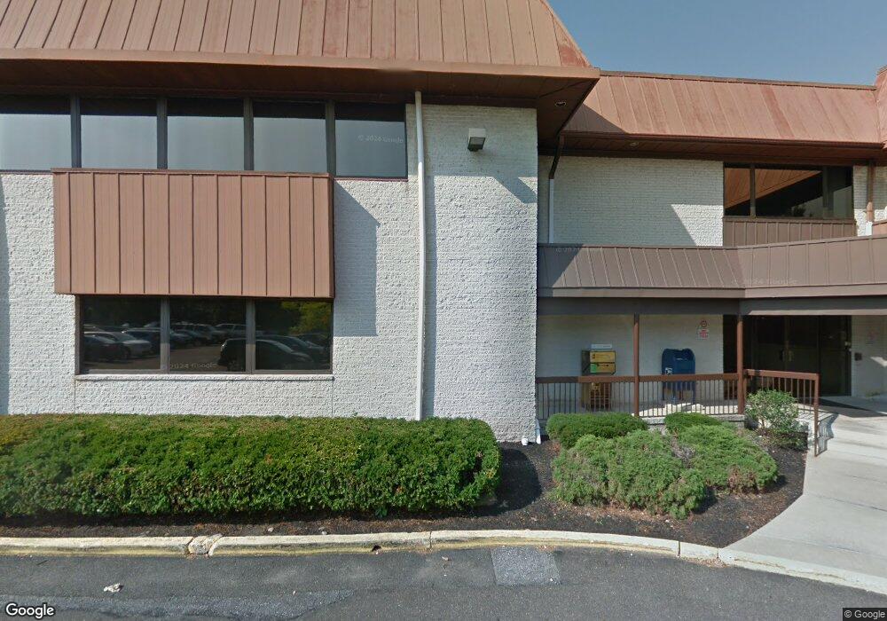
505 S Lenola Rd Unit 124 Moorestown, NJ 08057
--
Bed
--
Bath
--
Sq Ft
4.01
Acres
About This Home
This home is located at 505 S Lenola Rd Unit 124, Moorestown, NJ 08057. 505 S Lenola Rd Unit 124 is a home located in Burlington County with nearby schools including Mary E. Roberts Elementary School, Moorestown Upper Elementary School, and William Allen Middle School.
Ownership History
Date
Name
Owned For
Owner Type
Purchase Details
Closed on
Mar 16, 2017
Sold by
Ravikio John B and Mcgann Lois M
Bought by
Sfa 505 S Lenola Road Llc
Home Financials for this Owner
Home Financials are based on the most recent Mortgage that was taken out on this home.
Original Mortgage
$2,350,000
Outstanding Balance
$1,948,746
Interest Rate
4.17%
Mortgage Type
Construction
Purchase Details
Closed on
Aug 27, 1971
Bought by
Ravikio Blase A and Ravikio Edna M
Create a Home Valuation Report for This Property
The Home Valuation Report is an in-depth analysis detailing your home's value as well as a comparison with similar homes in the area
Home Values in the Area
Average Home Value in this Area
Purchase History
| Date | Buyer | Sale Price | Title Company |
|---|---|---|---|
| Sfa 505 S Lenola Road Llc | $2,300,000 | None Available | |
| Ravikio Blase A | $500,000 | -- |
Source: Public Records
Mortgage History
| Date | Status | Borrower | Loan Amount |
|---|---|---|---|
| Open | Sfa 505 S Lenola Road Llc | $2,350,000 |
Source: Public Records
Tax History Compared to Growth
Tax History
| Year | Tax Paid | Tax Assessment Tax Assessment Total Assessment is a certain percentage of the fair market value that is determined by local assessors to be the total taxable value of land and additions on the property. | Land | Improvement |
|---|---|---|---|---|
| 2025 | $94,307 | $3,298,600 | $1,120,000 | $2,178,600 |
| 2024 | $91,470 | $3,298,600 | $1,120,000 | $2,178,600 |
| 2023 | $91,470 | $3,298,600 | $1,120,000 | $2,178,600 |
| 2022 | $91,008 | $3,298,600 | $1,120,000 | $2,178,600 |
| 2021 | $89,854 | $3,298,600 | $1,120,000 | $2,178,600 |
| 2020 | $89,260 | $3,298,600 | $1,120,000 | $2,178,600 |
| 2019 | $87,644 | $3,298,600 | $1,120,000 | $2,178,600 |
| 2018 | $85,071 | $3,298,600 | $1,120,000 | $2,178,600 |
| 2017 | $85,632 | $3,298,600 | $1,120,000 | $2,178,600 |
| 2016 | $85,236 | $3,298,600 | $1,120,000 | $2,178,600 |
| 2015 | $84,114 | $3,298,600 | $1,120,000 | $2,178,600 |
| 2014 | $79,991 | $3,298,600 | $1,120,000 | $2,178,600 |
Source: Public Records
Map
Nearby Homes
- 21 Foxwood Dr Unit 21
- 403 S Lenola Rd
- 512 Regenhard Ave
- 115 E Kings Hwy Unit 443
- 115 E Kings Hwy Unit 444
- 115 E Kings Hwy Unit 386
- 115 E Kings Hwy Unit 442
- 115 E Kings Hwy Unit 216
- 115 E Kings Hwy Unit 319
- 115 E Kings Hwy Unit 410
- 112 Beacon St
- 12 Greenvale Rd
- 116 S Lincoln Ave
- 206 E Camden Ave
- 198 S Lincoln Ave
- 602 Windsor Place
- 601 Stratford Dr
- 801 E Camden Ave
- 114 Grant Ave
- 1 Circle Dr
- 509 S Lenola Rd Unit 10
- 509 S Lenola Rd Unit 9
- 509 S Lenola Rd Unit 8
- 509 S Lenola Rd Unit 7
- 509 S Lenola Rd Unit 5
- 509 S Lenola Rd Unit 709
- 51 Foxwood Dr Unit 51
- 52 Foxwood Dr Unit 52
- 44 Foxwood Dr Unit 44
- 53 Foxwood Dr Unit 53A
- 43 Foxwood Dr Unit 43
- 54 Foxwood Dr Unit 54
- 55 Foxwood Dr Unit 55
- 41 Foxwood Dr Unit 41
- 33 Foxwood Dr Unit 33
- 203 Foxwood Dr Unit 203
- 32 Foxwood Dr Unit 32
- 202 Foxwood Dr Unit 202
- 81 Foxwood Dr Unit 81
- 72 Foxwood Dr