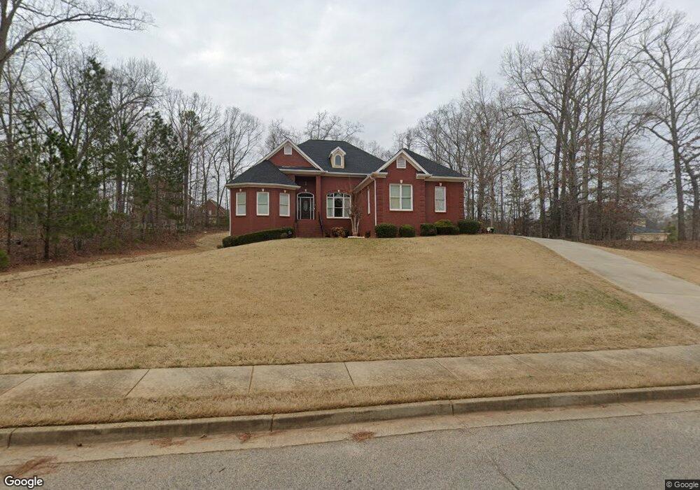
505 Saint Sambar Dr Unit 2 Ellenwood, GA 30294
Estimated Value: $485,000 - $759,000
3
Beds
3
Baths
2,879
Sq Ft
$206/Sq Ft
Est. Value
About This Home
This home is located at 505 Saint Sambar Dr Unit 2, Ellenwood, GA 30294 and is currently estimated at $591,778, approximately $205 per square foot. 505 Saint Sambar Dr Unit 2 is a home located in Henry County with nearby schools including Austin Road Elementary School, Austin Road Middle School, and Woodland High School.
Ownership History
Date
Name
Owned For
Owner Type
Purchase Details
Closed on
May 15, 2006
Sold by
Clairmont Dev Inc
Bought by
Seals Anthony J and Seals Bonita J
Current Estimated Value
Home Financials for this Owner
Home Financials are based on the most recent Mortgage that was taken out on this home.
Original Mortgage
$361,600
Outstanding Balance
$209,543
Interest Rate
6.41%
Mortgage Type
New Conventional
Estimated Equity
$382,235
Purchase Details
Closed on
Aug 3, 2005
Sold by
Primo Dev Corp
Bought by
Clairmont Dev Inc
Home Financials for this Owner
Home Financials are based on the most recent Mortgage that was taken out on this home.
Original Mortgage
$361,600
Interest Rate
5.48%
Create a Home Valuation Report for This Property
The Home Valuation Report is an in-depth analysis detailing your home's value as well as a comparison with similar homes in the area
Home Values in the Area
Average Home Value in this Area
Purchase History
| Date | Buyer | Sale Price | Title Company |
|---|---|---|---|
| Seals Anthony J | $452,000 | -- | |
| Clairmont Dev Inc | $42,500 | -- |
Source: Public Records
Mortgage History
| Date | Status | Borrower | Loan Amount |
|---|---|---|---|
| Open | Seals Anthony J | $361,600 | |
| Previous Owner | Clairmont Dev Inc | $361,600 |
Source: Public Records
Tax History Compared to Growth
Tax History
| Year | Tax Paid | Tax Assessment Tax Assessment Total Assessment is a certain percentage of the fair market value that is determined by local assessors to be the total taxable value of land and additions on the property. | Land | Improvement |
|---|---|---|---|---|
| 2024 | $994 | $229,240 | $20,000 | $209,240 |
| 2023 | $2,712 | $213,240 | $18,000 | $195,240 |
| 2022 | $2,841 | $173,920 | $18,000 | $155,920 |
| 2021 | $1,979 | $150,320 | $18,000 | $132,320 |
| 2020 | $3,709 | $149,560 | $12,000 | $137,560 |
| 2019 | $3,539 | $145,120 | $12,000 | $133,120 |
| 2018 | $4,899 | $142,840 | $12,000 | $130,840 |
| 2016 | $3,828 | $114,920 | $10,000 | $104,920 |
| 2015 | $3,661 | $97,760 | $10,000 | $87,760 |
| 2014 | $3,675 | $97,120 | $12,000 | $85,120 |
Source: Public Records
Map
Nearby Homes
- 500 Saint Sambar Dr
- 421 Saint Surrey Way
- 209 Kingscastle Dr
- 565 Scarborough Rd
- 0 Kingsbrook Dr Unit 19 LOTS 10399843
- 322 Acaro Ct
- 317 Saint Pauls Ct
- 116 Kalsum Trail
- 963 Blackberry Ct
- 907 Strawberry Ct
- 176 Fairoaks Cir
- 4241 Hearn Rd
- 395 Timber Top Dr
- 103 N Circle Dr
- 270 Huckleberry Ln
- 327 Awendaw Cir
- 204 Benefield Ct
- 4923 Amsler Rd
- 313 Ashborough Place
- 5512 Hearn Rd
- 501 Saint Sambar Dr Unit 2/102
- 501 Saint Sambar Dr
- 601 Saint Christopher Ln
- 605 Saint Christopher Ln
- 144 Chapel Ridge Dr
- 609 Saint Christopher Ln Unit 98
- 609 Saint Christopher Ln Unit 2/98
- 609 Saint Christopher Ln
- 504 Saint Sambar Dr
- 508 Saint Sambar Dr
- 148 Chapel Ridge Dr
- 148 Chapel Ridge Dr Unit 2
- 3144 Saint Christopher Ln
- 613 Saint Christopher Ln
- 139 Chapel Ridge Dr Unit 1
- 135 Chapel Ridge Dr
- 512 Saint Sambar Dr Unit 2
- 0 Saint Christopher Ln
- 143 Chapel Ridge Dr
- 131 Chapel Ridge Dr