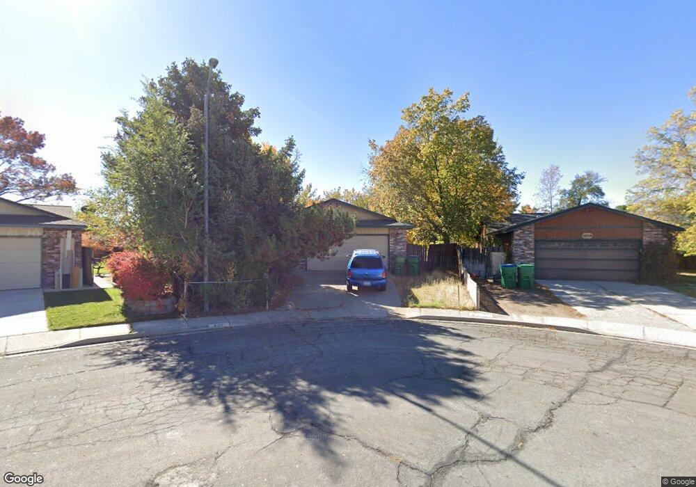
505 Sheffield Way Sparks, NV 89431
McCarran Boulevard-Probasco NeighborhoodEstimated Value: $498,000 - $643,000
4
Beds
2
Baths
2,484
Sq Ft
$220/Sq Ft
Est. Value
About This Home
This home is located at 505 Sheffield Way, Sparks, NV 89431 and is currently estimated at $546,368, approximately $219 per square foot. 505 Sheffield Way is a home located in Washoe County with nearby schools including Florence Drake Elementary School, George L Dilworth Middle School, and Sparks High School.
Ownership History
Date
Name
Owned For
Owner Type
Purchase Details
Closed on
Aug 8, 1996
Sold by
Sabadera Ofelia Mariano
Bought by
Carter John M
Current Estimated Value
Purchase Details
Closed on
Jan 22, 1996
Sold by
Mueller Thomas W and Mueller Mary Ann
Bought by
Carter John M
Home Financials for this Owner
Home Financials are based on the most recent Mortgage that was taken out on this home.
Original Mortgage
$110,400
Interest Rate
7.25%
Create a Home Valuation Report for This Property
The Home Valuation Report is an in-depth analysis detailing your home's value as well as a comparison with similar homes in the area
Home Values in the Area
Average Home Value in this Area
Purchase History
| Date | Buyer | Sale Price | Title Company |
|---|---|---|---|
| Carter John M | -- | -- | |
| Carter John M | $138,000 | First Centennial Title Co |
Source: Public Records
Mortgage History
| Date | Status | Borrower | Loan Amount |
|---|---|---|---|
| Previous Owner | Carter John M | $110,400 |
Source: Public Records
Tax History Compared to Growth
Tax History
| Year | Tax Paid | Tax Assessment Tax Assessment Total Assessment is a certain percentage of the fair market value that is determined by local assessors to be the total taxable value of land and additions on the property. | Land | Improvement |
|---|---|---|---|---|
| 2025 | $2,347 | $87,421 | $38,551 | $48,870 |
| 2024 | $2,347 | $86,922 | $36,493 | $50,429 |
| 2023 | $2,281 | $85,291 | $36,677 | $48,615 |
| 2022 | $2,215 | $71,137 | $29,878 | $41,259 |
| 2021 | $2,149 | $62,448 | $20,617 | $41,831 |
| 2020 | $2,084 | $61,411 | $18,743 | $42,668 |
| 2019 | $2,024 | $62,223 | $19,661 | $42,562 |
| 2018 | $1,965 | $56,575 | $14,222 | $42,353 |
| 2017 | $1,910 | $54,133 | $12,679 | $41,454 |
| 2016 | $1,863 | $54,870 | $12,128 | $42,742 |
| 2015 | $470 | $53,168 | $9,886 | $43,282 |
| 2014 | $1,807 | $50,549 | $8,379 | $42,170 |
| 2013 | -- | $48,243 | $6,284 | $41,959 |
Source: Public Records
Map
Nearby Homes
- 707 Glen Meadow Dr
- 3071 Meadowlands Dr
- 745 Glen Vista Dr
- 10 Sheridan Way
- 120 E Lenwood Dr
- 3104 Sandy St
- 3167 Bristle Branch Dr
- 3188 Bristle Branch Dr
- 3198 Bristle Branch Dr
- 3200 Bristle Branch Dr
- 119 Devere Way
- 913 Glen Molly Dr
- 8 E O St
- 1973 Rio Tinto Dr
- 1095 E York Way
- 1051 Glen Martin Dr
- 1703 1st St
- 370 O'Brien Way
- 3245 Elaine Way
- 3332 Shari Way
- 2509 Tallman Rd
- 525 Sheffield Way
- 520 E York Way
- 512 E York Way
- 540 E York Way
- 2510 Patrice Dr
- 2508 Patrice Dr
- 555 Sheffield Way
- 2515 Tallman Rd
- 2514 Patrice Dr
- 2502 Patrice Dr
- 550 E York Way
- 7895 Patrice Dr
- 2524 Patrice Dr
- 2510 Tallman Rd
- 575 Sheffield Way
- 2535 Tallman Rd
- 570 E York Way
- 2509 Patrice Dr
- 2530 Tallman Rd