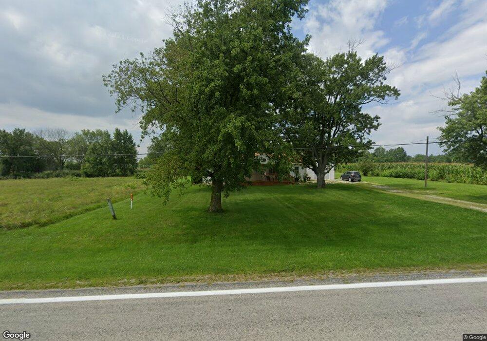
505 State Route 95 W New Bloomington, OH 43341
Estimated Value: $182,000 - $275,000
2
Beds
1
Bath
1,344
Sq Ft
$166/Sq Ft
Est. Value
About This Home
This home is located at 505 State Route 95 W, New Bloomington, OH 43341 and is currently estimated at $222,953, approximately $165 per square foot. 505 State Route 95 W is a home located in Marion County with nearby schools including Elgin Elementary School, Elgin Middle School, and Elgin High School.
Ownership History
Date
Name
Owned For
Owner Type
Purchase Details
Closed on
Aug 30, 2019
Sold by
Gowin Rubin R and Gowin Dianne D
Bought by
Fields Brandon A
Current Estimated Value
Home Financials for this Owner
Home Financials are based on the most recent Mortgage that was taken out on this home.
Original Mortgage
$66,400
Outstanding Balance
$58,280
Interest Rate
3.7%
Mortgage Type
New Conventional
Estimated Equity
$164,673
Create a Home Valuation Report for This Property
The Home Valuation Report is an in-depth analysis detailing your home's value as well as a comparison with similar homes in the area
Home Values in the Area
Average Home Value in this Area
Purchase History
| Date | Buyer | Sale Price | Title Company |
|---|---|---|---|
| Fields Brandon A | $83,000 | None Available | |
| Fields Brandon A | $83,000 | None Available |
Source: Public Records
Mortgage History
| Date | Status | Borrower | Loan Amount |
|---|---|---|---|
| Open | Fields Brandon A | $66,400 | |
| Closed | Fields Brandon A | $66,400 |
Source: Public Records
Tax History Compared to Growth
Tax History
| Year | Tax Paid | Tax Assessment Tax Assessment Total Assessment is a certain percentage of the fair market value that is determined by local assessors to be the total taxable value of land and additions on the property. | Land | Improvement |
|---|---|---|---|---|
| 2024 | $1,830 | $42,350 | $6,600 | $35,750 |
| 2023 | $1,830 | $42,350 | $6,600 | $35,750 |
| 2022 | $1,785 | $41,170 | $6,600 | $34,570 |
| 2021 | $1,443 | $30,150 | $5,740 | $24,410 |
| 2020 | $1,397 | $30,150 | $5,740 | $24,410 |
| 2019 | $1,391 | $30,150 | $5,740 | $24,410 |
| 2018 | $989 | $25,490 | $5,020 | $20,470 |
| 2017 | $1,013 | $25,490 | $5,020 | $20,470 |
| 2016 | $960 | $25,490 | $5,020 | $20,470 |
| 2015 | $978 | $24,840 | $4,780 | $20,060 |
| 2014 | $981 | $24,840 | $4,780 | $20,060 |
| 2012 | $627 | $23,870 | $4,340 | $19,530 |
Source: Public Records
Map
Nearby Homes
- 340 Broadway St
- 1193 Osbun Rd
- 0 Dry Lane Rd N Unit 225022570
- 74 E School St
- 65 South St
- 417 N Front St
- 1890 Bumford Rd
- 4450 Berry Rd
- 3096 Decliff Rd N
- 3132 Decliff Rd N
- 3217 Harding Hwy W
- 3841 Green Camp-Essex Rd
- 00 Osbun Rd Unit Lot 6
- 0 Osbun Rd Unit Lot 27 225032274
- 105 Mill St
- 314 County St
- 0 Elgin St
- 23226 Township Road 230
- 33883 Winnemac Rd
- 2109 Harding Hwy W
- 357 State Route 95 W
- 374 State Route 95 W
- 354 S Main St
- 354 State Route 95 W
- 409 State Route 95 W
- 475 S Main St
- 440 Main St
- 485 S Washington St
- 471 S Main St
- 681 Mount Olive Agosta Rd
- 681 State Route 95 W
- 480 Broadway St
- 455 S Main St
- 465 S Washington St
- 475 Broadway St
- 470 S Broadway St
- 435 S Washington St
- 435 N Main St
- 460 Broadway St